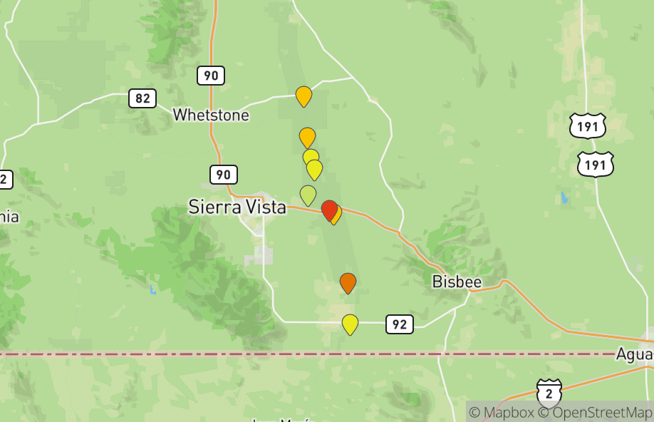
Cochise County
Where to Go Birding in Cochise
Hotspots
Top Hotspots
All Hotspots (225)
- 3 Canyons Blvd grasslands
- Amerind Foundation
- Apache Station WA
- Ash Canyon Bird Sanctuary (closed Thursday morning; formerly Ash Canyon B&B)
- Ash Canyon Road (not Ash Canyon B&B/Bird Sanctuary)
- Ash Canyon, South Fork (not Ash Canyon B&B)
- Ash Creek (Cochise Co.) mile 6.4-8.8
- Banning Creek Field Station (open 2002-2009)
- Barfoot Junction
- Barfoot Lookout
- Barfoot Park
- Battiste's Bird Garden
- Bear Creek
- Benson STP
- Benson--San Pedro Golf Course-patio overlook
- Brown Canyon Ranch (opened 2011)
- Calvary Cemetery
- Camp Rucker
- Carr Canyon (historical only, not for current checklists)
- Carr Canyon Rd--lower paved section
- Carr Canyon Road--BETWEEN Reef Townsite and Ramsey Vista CGs
- Carr Canyon--Comfort Spring Trail
- Carr Canyon--Old Sawmill Spring
- Carr Canyon--Ramsey Vista CG
- Carr Canyon--Reef Townsite CG
- Carr House Info Center (only, not all of Carr Canyon)
- Casa de San Pedro B&B--Visitors Welcome
- Cave Creek Canyon
- Cave Creek Canyon--Ash Spring Trail #247A
- Cave Creek Canyon--Herb Martyr CG
- Cave Creek Canyon--Idlewild CG
- Cave Creek Canyon--John Hands CG
- Cave Creek Canyon--South Fork
- Cave Creek Canyon--Southwestern Research Station
- Cave Creek Canyon--Stewart CG
- Cave Creek Canyon--Sunny Flat CG
- Cave Creek Canyon--USFS Visitor Center
- Chiricahua NM--Bonita Canyon CG
- Chiricahua NM--Bonita Creek Trail
- Chiricahua NM--Echo Canyon Loop Trail only
- Chiricahua NM--Faraway Ranch
- Chiricahua NM--Lower Rhyolite Canyon Trail
- Chiricahua NM--Massai Point
- Chiricahua National Monument
- Cochise College (Douglas Campus)
- Cochise College (Sierra Vista Campus)
- Cochise Stronghold
- Cochise Stronghold Campground
- Cochise Trail--Cochise Stronghold CG to Stronghold Divide
- Copper Canyon
- Coronado NM--Cave Trail
- Coronado NM--Joe's Canyon Trail
- Coronado NM--Montezuma Pass
- Coronado National Memorial
- Cottonwood Saddle Trail
- Crest Trail--Lutz Canyon Trail to Miller Peak Trail
- Crest Trail--Montezuma Pass to Wilderness Boundary
- Crest Trail--Wilderness Boundary to Lutz Canyon Trail
- Crossed J Ranch Headquarters (private, guests only)
- Crystal Cave Trail #382 trailhead
- Curtis Flats Rd (St. David)
- DD Gamble Guest Lodge and Ranch (historical)
- Davis Rd at Central Highway
- Douglas--10th Street Park
- Douglas--15th Street Park
- Douglas--8th Street Park
- Douglas--Airport Park
- Dragoon Mountains--Council Rocks
- Dragoon Mountains--Slavin Gulch Trail
- Dragoon Mountains--West Stronghold Canyon
- East Turkey Creek at FR42/FR42B
- East Turkey Creek--FR42B
- East Whitetail Canyon
- Elfrida--Courtland Rd W of Hwy 191
- Elfrida--Gleeson Rd W of Hwy 191
- FR 42--E Turkey Creek to Onion Saddle
- FR 42--past Herb Martyr Rd to E Turkey Creek
- FR42 between Sunny Flat and SWRS
- Faria Dairy pond (access restricted since 2016)
- Fort Bowie NHS
- Fort Huachuca (Historical, do not use for current lists)
- Fort Huachuca--Officer's Pond
- Four Bar Cottages (private)
- French Joe Canyon
- French Joe Canyon road (grasslands)
- French Joe Canyon--trail to spring
- Ft Huachuca Post Cemetery
- Garden Canyon (historical, please do not use for current lists)
- Garden Canyon Linear Park
- Garden Canyon Rd--BETWEEN Upper Picnic Area and Sawmill Canyon
- Garden Canyon Rd.--Fishing ponds
- Garden Canyon Rd.--grasslands only
- Garden Canyon--Lower Picnic Area
- Garden Canyon--Middle Picnic Area
- Garden Canyon--Upper Picnic Area
- Garden/Scheelite Canyon confluence
- Greenbush Draw--Wilson Rd
- Greenhouse Trail #248 to Winn Falls
- Guadalupe Canyon (Cochise Co.)
- Guindani Canyon
- Herb Martyr Rd 42A
- Horseshoe Canyon
- Huachuca Canyon
- Huachuca Canyon--1.7 mile picnic area
- Huachuca Canyon--lower picnic area
- Hunter Canyon (Historical only, not for current checklists)
- Hunter Canyon Rd (Huachuca Mts)
- Hunter Canyon Trail (FR 4786; no R-C Warblers here)
- I-10 Eastbound San Simon Rest Area
- I-10 Westbound San Simon Rest Area (AZ)
- Ida Canyon
- Indian Bread Rocks Recreation Area
- Ironwood Rd, Hwy 191 to Stronghold Rd (5 miles)
- Ironwood Rd, Stronghold Rd to Cochise Stronghold CG (4 miles)
- Johnny Ringo's gravesite/W. Turkey Cr. Rd. pond (private)
- Kansas Settlement Rd
- Kansas Settlement--Arzberger Rd
- Kansas Settlement--Kimzey Rd
- Kartchner Caverns SP
- Keiller Park
- Leslie Canyon NWR
- Long Park
- Long Park Road--between Rustler Park and Long Park
- Lower Brown Canyon Trail
- Lower Carr Canyon Picnic Area
- Lower Oversite Canyon
- Lutz Canyon (Trail #104)
- Maley St ephemeral pond
- Mescal Rd--I-10 to railroad tracks
- Mescal Rd--railroad tracks to mile 6.4
- Miller Canyon (historical only, not for current checklists)
- Miller Canyon Rd--paved/residential portion
- Miller Canyon Trail
- Miller Canyon--Beatty's Guest Ranch
- Miller Canyon--lower (below Beatty's)
- Miller Peak Trail #105 (0.5 mile)
- Mormon Ridge Trail (W. Turkey Creek)
- Muleshoe Ranch Preserve
- Muleshoe Ranch--Bass Canyon
- North Fork of Rucker Canyon
- Onion Saddle
- Palominas Pond
- Palominas birdwalks (scheduled walks only)
- Paradise Cemetery
- Paradise--George Walker House
- Parker Canyon Lake
- Pine Canyon (not Pinery Canyon)
- Pinery Canyon
- Pinery Canyon Rd. (grasslands section only)
- Pole Bridge Canyon Trail
- Polly Drive Migrant Trap
- Portal
- Portal Rd--east of town
- Portal--Big Thicket
- Portal--Bob Rodrigues yard (Dave Jasper's old yard)
- Portal--Cathedral Rock Rd at Creek Rd
- Portal--Cave Creek Ranch
- Portal--Foothills Road
- Portal--Jasper/Moisan feeders (opened 2015)
- Portal--Quailway Cottage (only)
- Portal--Spofford's feeders (closed since 2002)
- Portal--Willow Tank
- Portal-Paradise Road
- Price Canyon
- Price Canyon Road
- Price Canyon Trail
- Ramsey Canyon Cabins (opened 2022)
- Ramsey Canyon Inn (opened 1988)
- Ramsey Canyon Preserve (formerly Mile Hi Ranch)
- Ramsey Canyon Rd--mesquite/grassland habitat
- Ramsey Canyon--Hamburg Meadow
- Raspberry Ridge Trail #228
- Red Rock Canyon road
- Road between Onion Saddle and Barfoot Jct
- Rucker Canyon
- Rucker Canyon Trail #222
- Rucker Canyon--Cypress CG
- Rustler Park
- S Sunnyside Road
- Salzman Farms (was Essary Hay Sales and Spitler Cattle Co.)
- San Bernardino NWR
- San Pedro RNCA--Charleston Bridge
- San Pedro RNCA--Escapule Wash
- San Pedro RNCA--Fairbank
- San Pedro RNCA--Hereford Bridge
- San Pedro RNCA--Hwy 92 Bridge
- San Pedro RNCA--Kingfisher Pond
- San Pedro RNCA--Murray Springs Clovis Site
- San Pedro RNCA--San Pedro House and trails
- San Pedro RNCA--generic (historical only, not for current checklists)
- San Pedro River Inn
- San Simon Cienega (Arizona)
- Saulsbury Canyon Trail (W Turkey Creek)
- Sawmill Canyon
- Scheelite Canyon
- Scotia Canyon Trail
- Scotia Canyon--upper
- Sierra Vista EOP
- Silver Creek at Portal-Paradise Rd
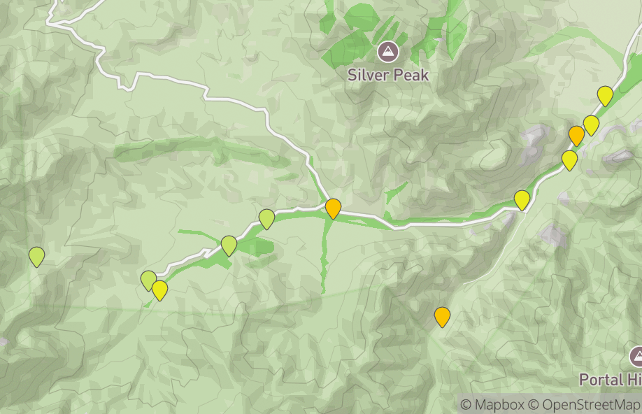
- Silver Peak Trail
- Slaughter Ranch
- Soldier's Creek Park
- St. David Cienega
- St. David--Golden Bell Rd
- St. David--Holy Trinity Monastery
- Stateline Rd. (Cochise Co.)
- Sulphur Springs Valley--north of Willcox (Cochise Co.)
- Sulphur Springs Valley--south of Sunizona
- Sunnyside Canyon
- Sunsites Sewage Ponds
- Sycamore Campground (W Turkey Creek)
- Tex Canyon Rd. (desert grassland flats)
- Tex Canyon Rd. (riparian/woodland/grassland)
- Texas Canyon Rest Area
- Tompkins Park
- Upper Brown Canyon Trail
- Upper Hunter Canyon Trail
- Upper Oversite Canyon Trail
- Veterans Memorial Park, Sierra Vista
- W Turkey Creek Rd--AZ 181 to Sunglow Rd (0-4.4 miles)
- W Turkey Creek Rd--Nat'l Forest boundary to road end (mp 8.3-11)
- W Turkey Creek Rd--Sunglow Rd to USFS boundary (mp 4.4-8.3)
- Whitewater Draw WA
- Willcox Playa WA (no water)
- Willcox--Lake Cochise and Twin Lakes Golf Course
Groups
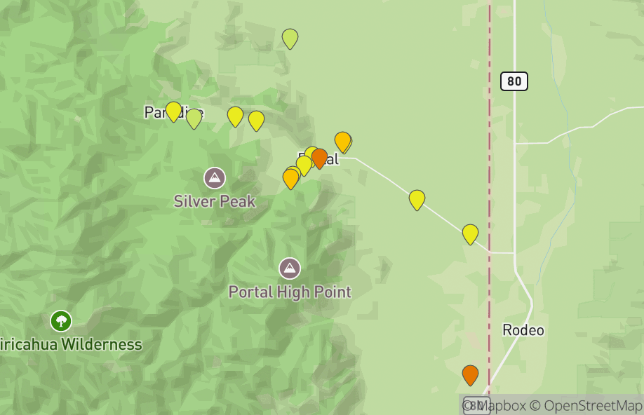
Portal
15 hotspots
Cave Creek Canyon
12 hotspots
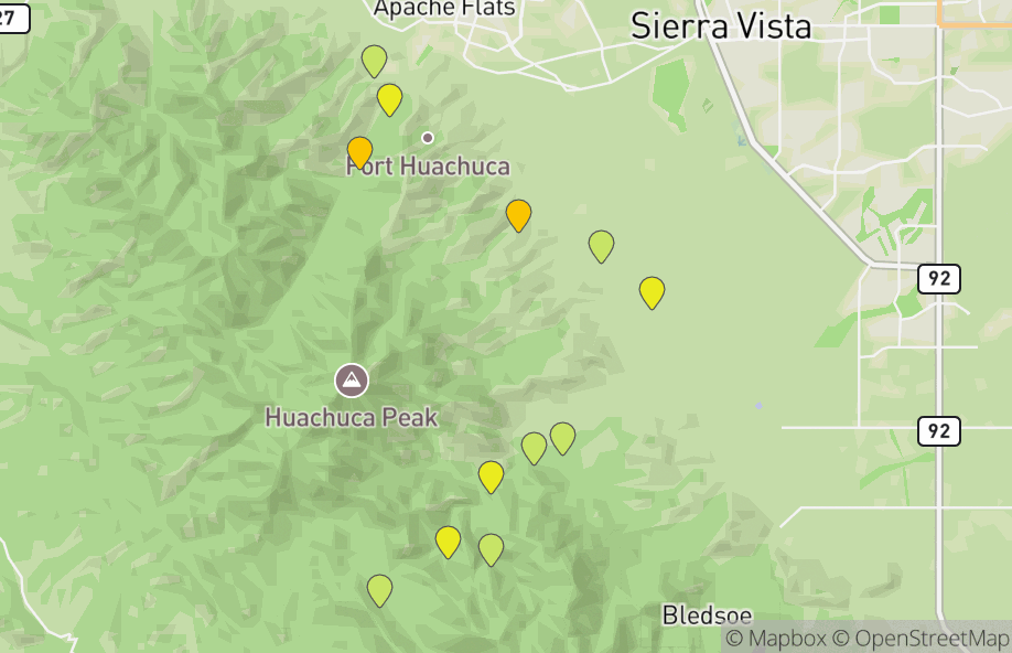
Fort Huachuca and Garden Canyon
12 hotspots
Carr Canyon
9 hotspots
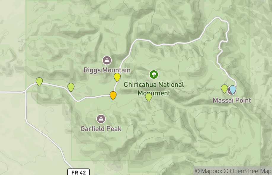
Chiricahua National Monument
7 hotspots
Contribute
Are you familiar with some of the hotspots in Cochise?
Contribute tips, descriptions, and images to help birders in your area.
Notable Sightings
Birds reported to eBird in the last 7 days
Loading...