Camels Hump State Park
Tips for Birding
Birdwatching in Vermont, p. 102.
About this Location
Camels Hump State Park is an undeveloped, free-entry, state park with no phone or visitor facilities.
Waubanaukee Indians first named it “Tah-wak-be-dee-ee-wadso” or Saddle Mountain. Samuel de Champlain’s explorers in the 1600s called it “lion couchant” or resting lion. The name “Camel’s Rump” was used on a historical map by Ira Allen in 1798, and this became “Camel’s Hump” in 1830.
The park came about as an original gift of 1000 acres including the summit from Colonel Joseph Battell, who originally bought Camel’s Hump to preserve the wooded mountainous view from his home. In 1911, care of the mountain was entrusted to the State Forester who managed intending to keep it in a primitive state according to Battell’s wish.
The State of Vermont eventually adopted a policy of development regulation on all state forest lands to preserve aesthetic values. It fought proposed intrusions by communications towers and ski resorts until the summit’s Natural Area was set aside; then special legislation was passed in 1969 to create a Forest Reserve whose state-owned acres (about 20,000 by 1991) form Camel’s Hump State Park.
There are designated parking areas at trailheads on Camel’s Hump Road on both sides of the mountain. Also, there are parking areas along River Road in Duxbury for the Long Trail.
Notable Trails
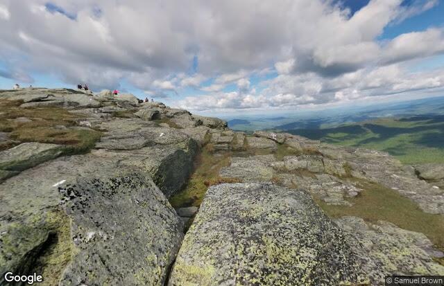
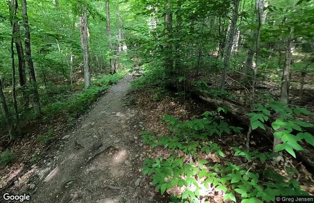
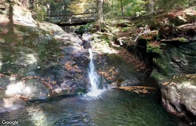
Iconic to the Vermont landscape, Camel's Hump is one of the most popular outdoor destinations in Vermont. Although hikes to the summit are the most in-demand, there are plenty of other hiking, biking, and skiing opportunities in the 21,258-acre state park!
The TrailFinder website has descriptions and maps of hikes at Camels Hump State Park.
Content from Official Website
Last updated December 20, 2023