Mt. Mansfield

Tips for Birding
Birdwatching in Vermont, pp. 99-102.
When submitting data to eBird from hiking Mount Mansfield, do not submit a checklist of a day trip from the base to the top and back. Such a checklist would pass through numerous ecosystems over too long a duration including too long a distance. Instead, start a new checklist as elevation and habitat change. Use hotspots or personal locations that reflect the elevation of the birds seen.
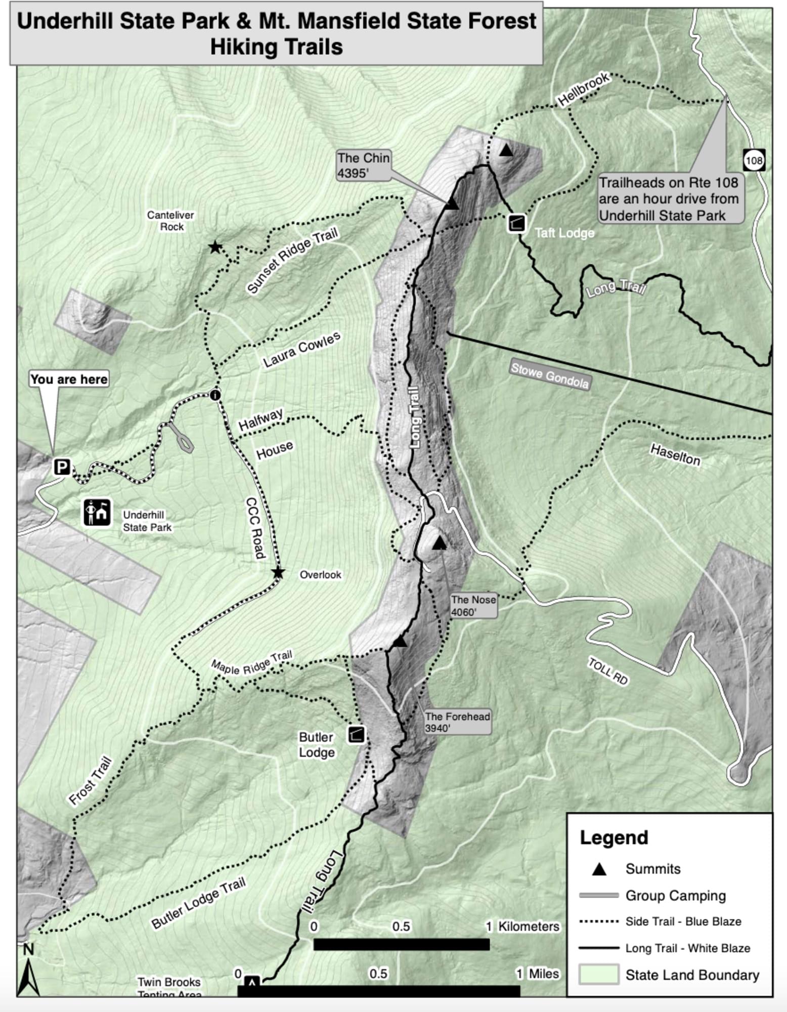
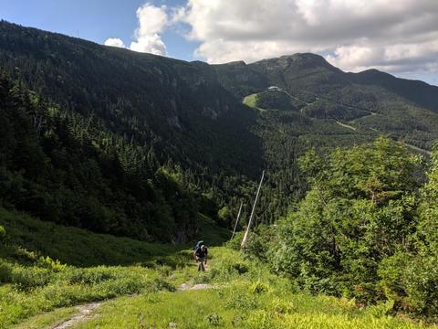
There are many trails up the mountain. Here are a few of the more popular routes. If hiking from the west side of the mountain the most popular place to start is Underhill State Park. The two most popular routes from Underhill are Sunset Ridge Trail and Laura Cowles Trail. If you are hiking from the east side of the mountain the more popular route is the Long Trail. The easiest way up the mountain is via the Toll Road.
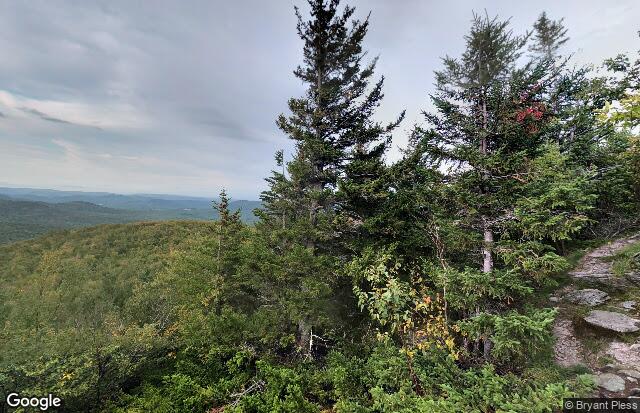
About this Location
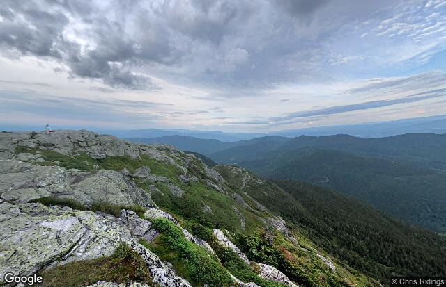
Mount Mansfield is the highest mountain in Vermont with a summit that peaks at 4,395 feet above sea level. The summit is located within the town of Underhill in Chittenden County; the ridgeline, including some secondary peaks, extends into the town of Stowe in Lamoille County, and the mountain’s flanks also reach into the town of Cambridge.
When viewed from the east or west, this mountain has the appearance of a (quite elongated) human profile, with a distinct forehead, nose, lips, chin, and Adam’s apple. These features are most distinct when viewed from the east; unlike most human faces, the chin is the highest point.
Mount Mansfield is one of three spots in Vermont where true alpine tundra survives from the Ice Ages. A few acres exist on Camel’s Hump and Mount Abraham nearby and to the south, but Mount Mansfield’s summit still holds about 200 acres. In 1980, the Mount Mansfield Natural Area was designated as a National Natural Landmark by the National Park Service.
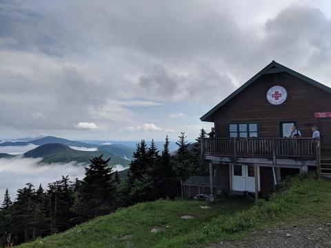
Located in Mount Mansfield State Forest, the mountain is used for various recreational and commercial purposes. “The Nose” is home to transmitter towers for a number of regional radio and TV stations. There are many hiking trails, including the Long Trail which traverses the main ridgeline. In addition, the east flank of the mountain is used by the Stowe Mountain Resort for winter skiing. A popular tourist activity is to take the 4.5-mile toll road (a steep, mostly unpaved road with several hairpin turns) from the Stowe Base Lodge to “The Nose” and then hike along the ridge to “The Chin.”
Content from Official Website, Vermont eBird checklist reviewers, and Wikipedia