Birding the Appalachian Trail in Vermont
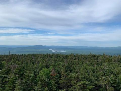
 Stratton Mountain summit fire tower; photo by Noah Henkenius
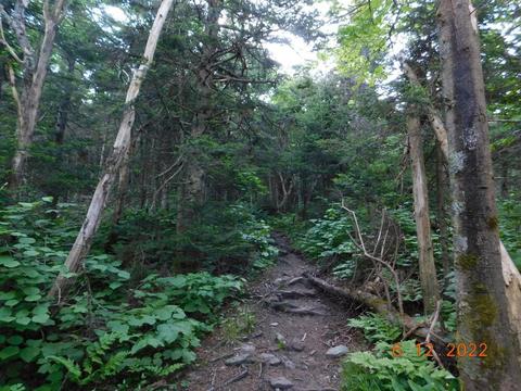
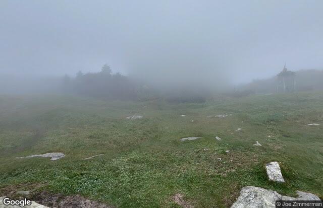
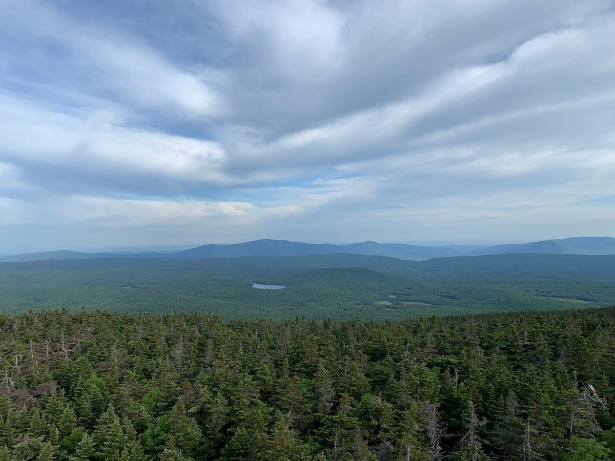
 AT approaching the summit of Stratton Mountain; photo by Noah Henkenius
 Map by Appalachian Trail Conservancy
The Appalachian Trail (AT) spans for approximately 150 miles in Vermont. The trail enters Vermont in the Green Mountain National Forest in Bennington County and continues north through Windham County and Rutland County before turning east towards Windsor County and subsequently entering New Hampshire. The Green Mountain Club webpage and Appalachian Trail Conservancy webpage provide excellent information about hiking the Vermont portion of the trail. The AT in Vermont goes over several mountain peaks with an elevation higher than 3000 feet. Some of the highest peaks include:
- Stratton Mountain (3946 feet)
- Glasterbury Mountain (3745 feet)
- Bromley Mountain (3274 feet)
The Vermont portion of the Appalachian Trail is unique as it's mountains are the southernmost that you can encounter Bicknell's Thrush from the AT. The portion of the AT that runs through the Green Mountain National forest is also a great place to find more northern breeding bird species such as Swainson's Thrush, Yellow-bellied Flycatcher, Blackpoll Warbler, and more.
The follow are a list of eBird Hotspots that intersect the trail in Vermont in order from the Massachusetts border to the New Hampshire border.