Birding in Kern County
 Kern River Photo: Andrew Sorensen (CC BY-NC 2.0)
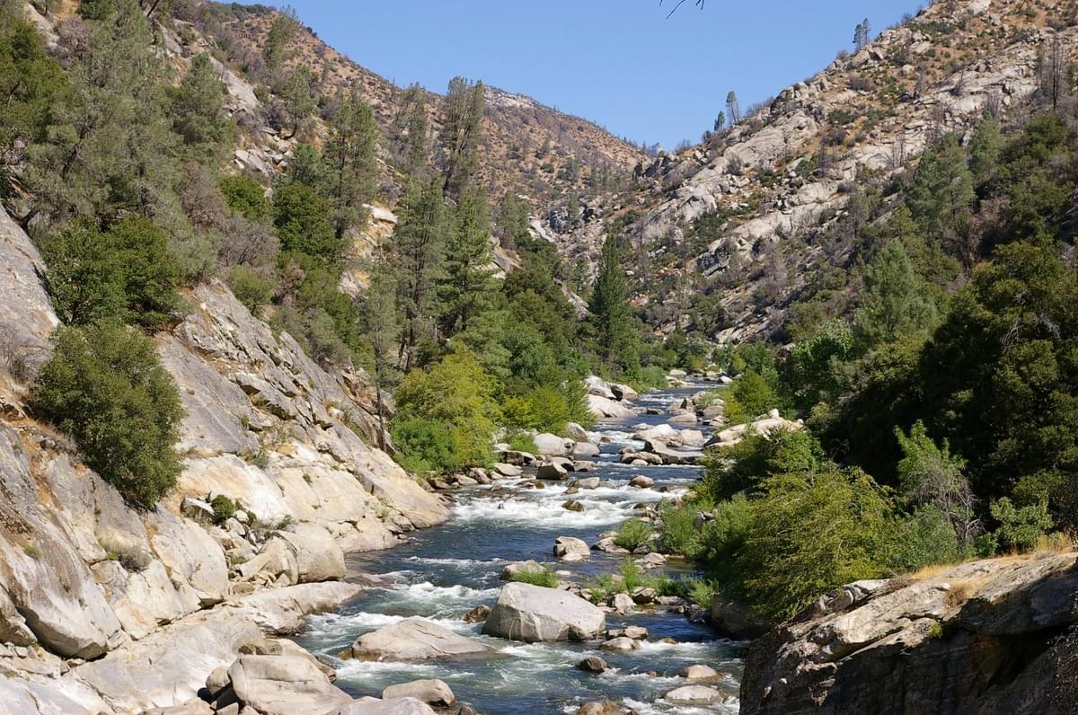
  Kern River Canyon Photo: David Seibold (CC BY-NC 2.0)
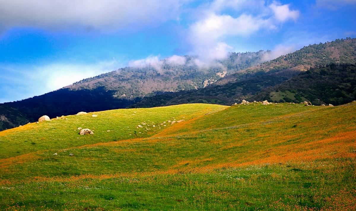 Highway 223 Wildflowers Photo: Alan Antiporda (CC BY 2.0)
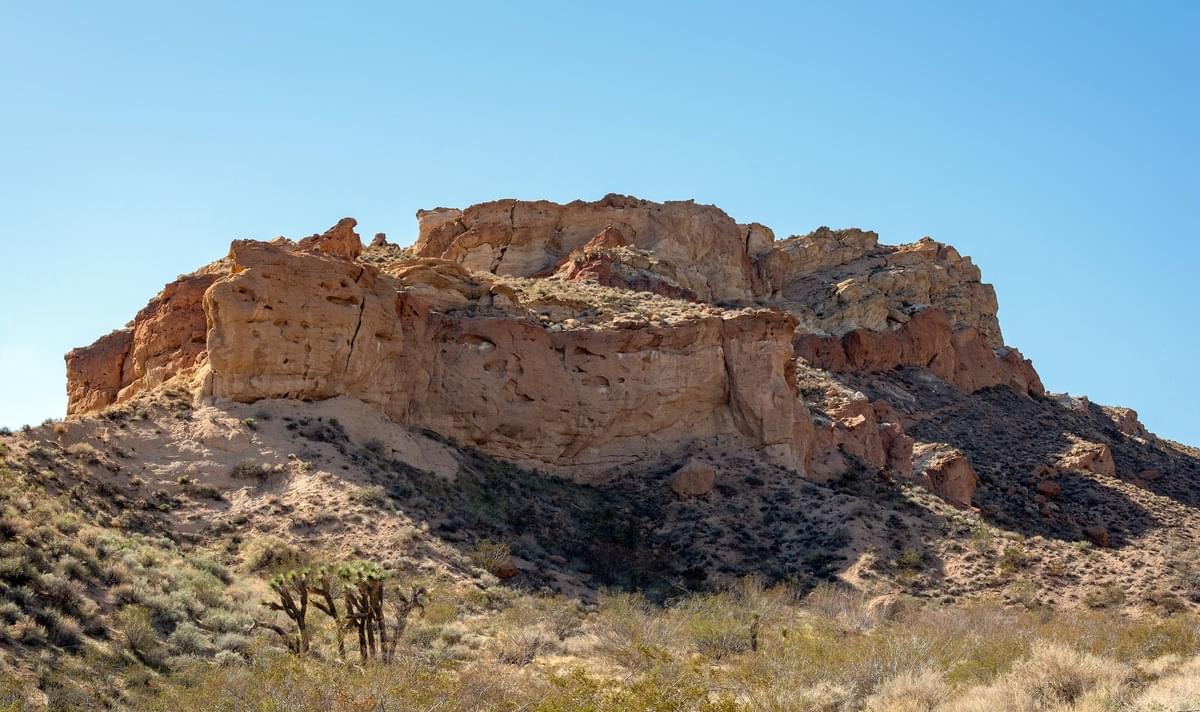 Jawbone Canyon Photo: Matthew Dillon (CC BY 2.0)
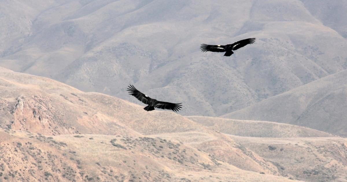 California Condors, Bitter Creek NWR Photo: USFWS Pacific Southwest Region (Public Domain Mark 1.0)
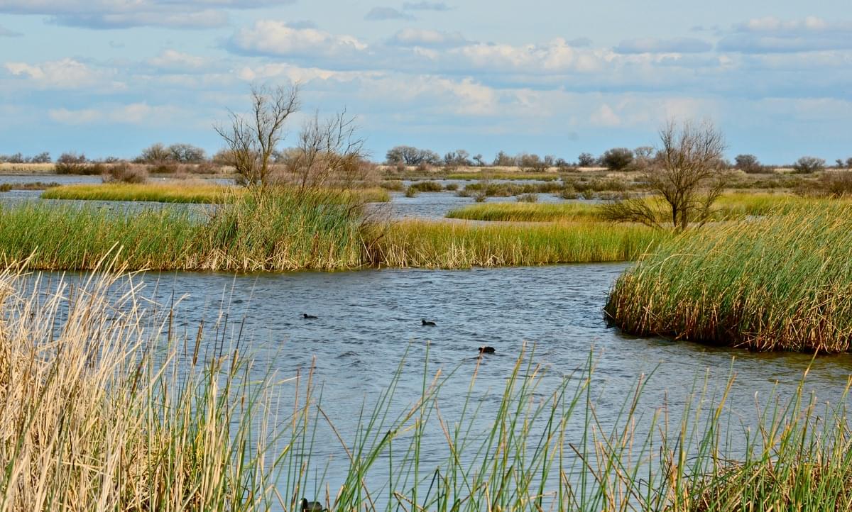 Kern NWR Photo: Linda Tanner (CC BY-NC-ND 2.0)
Kern County spans the southern end of California's Central Valley. Covering 8,161 square miles it ranges west to the southern slope of the Coast Ranges, and east beyond the southern slope of the eastern Sierra Nevada into the Mojave Desert. Its northernmost city is Delano, and its southern reach extends to just beyond Frazier Park, and the northern extremity of the parallel Antelope Valley. It is the third-largest county by area in California, and its area is nearly the size of the state of New Hampshire.
The tallest peak in the county is Sawmill Mountain at an elevation of 8822 ft. and is located on the county line between Kern and Ventura counties in Los Padres National Forest. Conifers in the Sawmill Mountain area (at 8500 ft.) include White Fir, Jeffrey Pine, and Singleleaf Pinyon Pine. The surrounding geography contains oak-covered foothills, prairie, and desert grasslands. Chaparral comprises a considerable portion of the natural area within Kern County. Kern County has a large agricultural base and is a significant producer of oil, natural gas, hydroelectric power, biomass, solar power, and wind power.
Kern County reservoirs and watersheds include Lake Isabella, Buena Vista Lake (Lake Webb and Lake Evans), irrigation canals, and the Kern River. The Kern River is approximately 165 miles long and passes through scenic canyons in the southern Sierra Nevada mountains. It is the southernmost major river system in the Sierra Nevada and is the only major river in the Sierra that drains in a southerly direction. The Kern River formerly emptied into the now dry Buena Vista Lake and Kern Lake via the Kern River Slough. These lakes have been almost entirely diverted for irrigation, recharging aquifers, and the California Aqueduct. Smaller man-made lakes were created in their place for recreational use. Remnant wetlands in Kern County remain an important habitat for migrating and wintering waterfowl and shorebirds.
A few Hotspots in eastern Kern County are known as reliable vagrant traps. Settling ponds and oases in the desert regions of the county have produced a number of rarities in spring and fall. These include Groove-billed Ani, Upland Sandpiper, White-rumped Sandpiper, Buff-breasted Flycatcher, Arctic/Kamchatka Leaf Warbler, Gray-cheeked Thrush, Rustic Bunting, LeConte's Sparrow, Cerulean Warbler.
National Protected Areas within Kern County include Bitter Creek National Wildlife Refuge, Kern National Wildlife Refuge, Carrizo Plain National Monument (part), and Giant Sequoia National Monument.
Other links
Nature Alley (Ali Sheehey's website)