Lake Isabella

About this Location
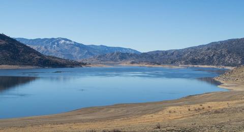
At 11,000 acres Lake Isabella is one of the larger reservoirs in California. Lake Isabella is located about 40 miles northeast of Bakersfield, and is the main water supply for that city. It was formed in 1953 when the U.S. Army Corps of Engineers dammed the Kern River at the junction of its two forks. The area is in the southern end of the Sierra Nevada range and the lake itself is located in low mountains at an elevation of approximately 2,500 ft where summer temperatures reach over 100 °F but low enough to avoid winter snows on the surrounding ridges.
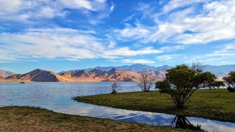
The former towns of Isabella and Kernville were flooded when the reservoir was created. Several recreation areas are located around the lake as a part of the Sequoia National Forest. The U.S. Forest Service oversees the majority of the land that touches the shore including boat ramps, campgrounds, roadways, and leases to private vendors providing services. Lake Isabella can be reached by vehicle from Bakersfield via State Highway 178 and from Delano via Highway 155. See the Kern River Ranger District website for a list of recreational activities and for information on campground reservations.
The Audubon Kern River Preserve riparian nature reserve is located east of Lake Isabella near Weldon. The South Fork Kern River flows through the preserve, and then into Lake Isabella. The preserve is located in one of the largest contiguous riparian forests remaining in the state. The 3,000-acre preserve provides habitat for rare, endangered, and migratory birds.
See all Hotspots at Kern River Preserve
Features
Restrooms on site
Last updated July 22, 2023
 Lake Isabella Area Map
californiasgreatlakes.com