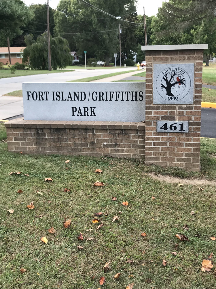
Fort Island and Griffiths Park
Tips for Birding
Parking is available at two lots, but the lot at 461 Trunko Road is closer to the trailhead marker. The trail is paved or boardwalk. Most of it handicapped-accessible but the meadow loop looked narrow may not be wide enough for a wheelchair. The upper island is dirt so not handicapped accessible. The total trail is 1.6 miles.
Typical birds include jays, cardinals, catbirds, and robins. During migration more activity and warblers like Blue-winged. The marsh area and woods are most active during migration.
About this Location
Fort Island and Griffiths Park is a combined multi-use park located along Trunko Road. The park has a shared area of approximately 60 acres with Schocalog Run, a small creek, running through it.
Griffiths Park is home to the Learning Resource Center, along with a soft surface playground, four enclosed tennis courts, and two basketball courts.
Fort Island Park boasts many interesting natural and geologic features. A walk in the early morning will reveal the many bird species that visit the park. Birds like the Belted Kingfisher, Mallard ducks, Green Herons, and Great Blue Herons can be found along the creek. Migratory warblers come through with the common sights of chickadees, woodpeckers, robins, and cardinals. Snapping turtles and painted turtles are happily warming up in the sun.
The park’s boardwalk is elevated paths and paved trails. The elevated trails keep visitors above the wetlands and many water-logged portions of the park. A wetland marsh and wet woods contribute to the wide diversity of geologic features in the park. The soft peat soils are an astonishing forty feet deep in some parts which created the bog forest and aging bog. Peat is a soil found mostly along the line of glaciation- roughly a southwest to northeast line across our state.
Fort Island also contains some glacial land formations. There are kettle and kame (mound) formations. A kettle is a small hole or depression formed when a block of glacial ice melted. These little holes are partially filled in with peat and plant material. A kame is a mound of outwash left at the retreating edge of a glacier. To be clear, this is very different than a Native American Indian mound. Glaciers, not Native Americans made the mound in the park.
The allure of Native American history has led to some local folklore. The area this park is located and Summit County was used regularly by the Native Americans for hunting and dwelling. That information, along with the discovery of an ancient palisade on top of the mound, has led to the common story of an Erie versus Iroquois battle happening here.
The archaeological report found that the remains of the palisade date to 1000-1350 A.D. This is 200 years or later than the “last stand of the Erie” if it happened. The site could not be linked with any Erie cultural material, a group of Indians that could not be placed within 100 miles of Fairlawn at any time period.
Features
Restrooms on site
Wheelchair accessible trail
Entrance fee
Roadside viewing
Content from Michelle Pesho and Fort Island webpage