Serengeti Nantucket
About this Location
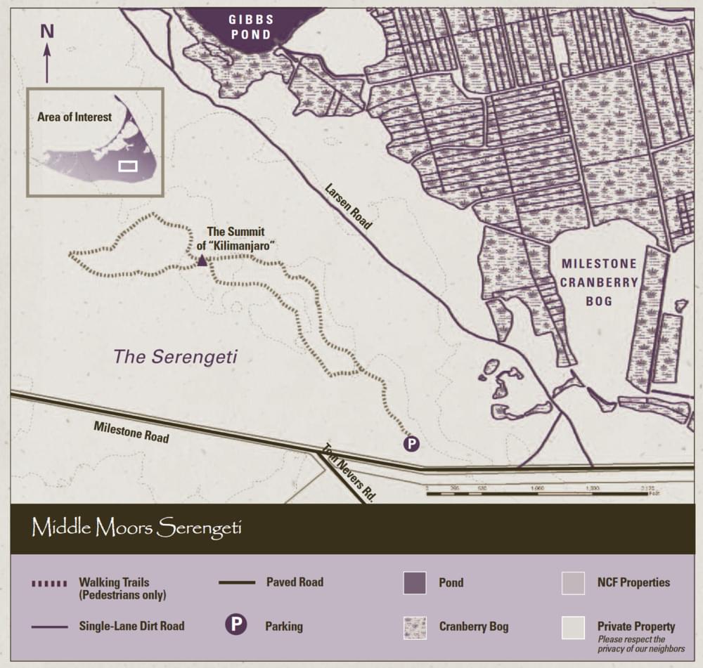
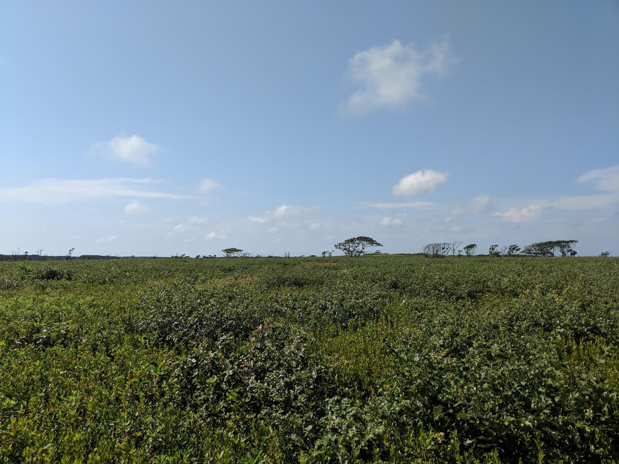
The southern portion of the Middle Moors, bordering the Milestone Road, contains over 400 acres that are locally referred to as Nantucket’s “Serengeti.” The nickname comes from the low-growing vegetation mixed with occasional trees. (the word “Serengeti” is derived from the Maasai language for “endless plain”) Wood cutouts of lions, gazelles, zebras, and the occasional raptor spontaneously appear in this area and can be viewed from Milestone Road.
This unique area represents the largest expanse of undeveloped land on Nantucket. The Nantucket Conservation Foundation owns 31 distinct and contiguous properties in this area, totaling over 3,220 acres of protected open space. Three major areas comprise the Middle Moors: Altar Rock, the Serengeti, and the Pout Ponds.
The unique landscape of the Serengeti is shaped by the Foundation’s ongoing management aimed at restoring sandplain grasslands and heathlands. Historic photos of this site show large expanses of open grasslands created by sheep grazing during the 17 and 1800s. Now that sheep no longer graze in the Middle Moors, brush cutting and prescribed burning are being used to perpetuate habitat for rare species and prevent tall shrubs, scrub oak, and trees from encroaching.
Features
Roadside viewing
Restrooms on site
Wheelchair accessible trail
Entrance fee
Content from Official Website
Last updated March 25, 2024