New England Trail (NET)--Section 3
New England Trail (NET)--Section 3
West Springfield, Massachusetts 01089
New England Trail (NET) Section 3 webpageNew England Trail (NET) Official Website
New England Trail map
About this Location
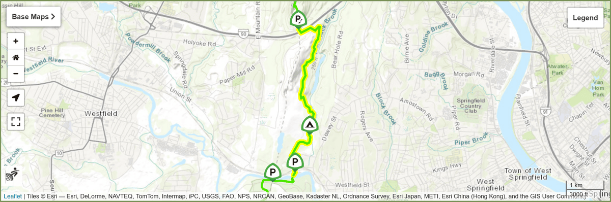
Section 3 begins at the edge of the Westfield River. The Westfield River is often crossable on foot, however, there is a volunteer who is available to drive people when the water is too high. To arrange transport with a few day's notice, please email Heather. The road walk to go around the river is 3 miles.
Meandering below a level, sandy plateau and passing below the Pioneer Valley Sportsman’s Club, this section of trail returns to higher ground when reaching the West Springfield Municipal Watershed land. The bridges in this section are old and will be replaced in the near future.
The Lane Quarry is visible through the trees to the west as the trail heads north on West Springfield’s public water supply land toward the Mass Pike.
About New England Trail (NET)
See all hotspots at New England Trail (NET)
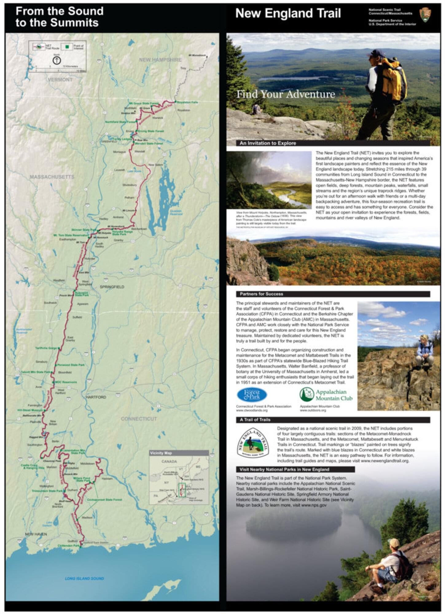
The New England National Scenic Trail (NET) is a 215-mile hiking trail route that has been in existence for over half a century. The NET travels through 41 communities in Connecticut and Massachusetts and is comprised primarily of the historic Mattabesett, Metacomet, and Monadnock (M-M-M) Trail systems.
The NET travels through classic New England landscape and features long-distance vistas with rural towns as a backdrop, agrarian lands, unfragmented forests, and large river valleys. The trail also travels through colonial historical landmarks and highlights a range of diverse ecosystems and natural resources: mountain ridges and summits, forested glades, wetlands, and vernal pools, lakes, streams, and waterfalls.
Features
Restrooms on site
Wheelchair accessible trail
Entrance fee
Content from New England Trail (NET) Official Website
Last updated November 26, 2023