Priest Valley
Tips for Birding
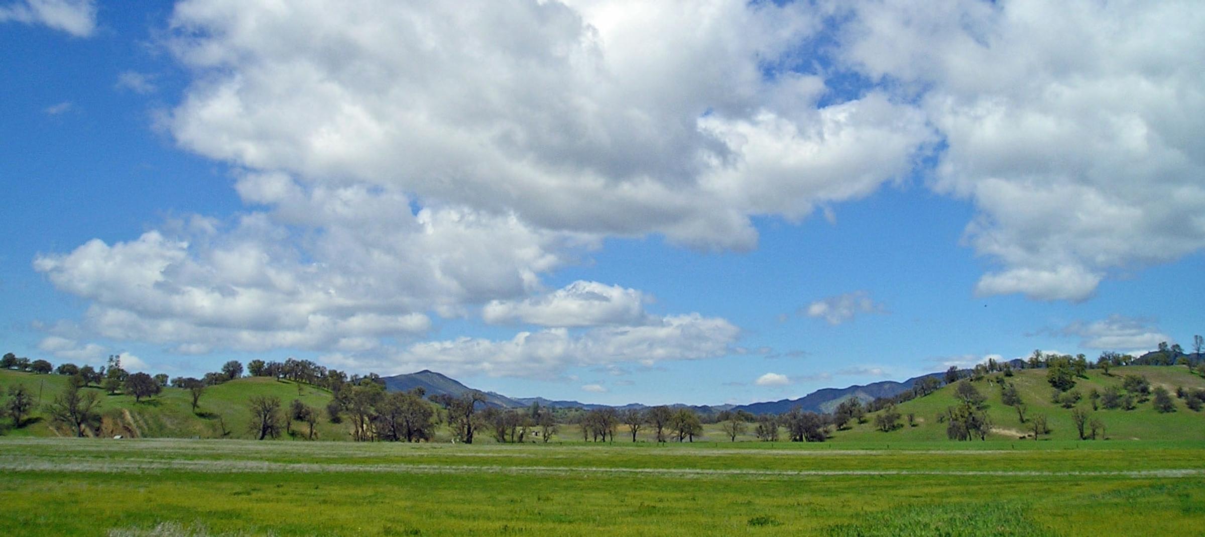
This Hotspot encompasses Priest Valley, a remote locale of mostly ranch land and the tiny town of Priest Valley (population 45). All the birding is along public roads:State Highway 198 and the much narrower North Fork Road and Priest Valley Road, each of which end in about a mile at a county border. These narrow roads wind through grazed oak savanna, with very little traffic, and include riparian corridors at Lewis Creek and the North Fork of Lewis Creek (this latter creek is the county line). In good weather in spring through fall, the oak savanna is idyllic and recalls habitat from an earlier time. One most remember, though, that all the land is private, so birders are restricted to the edges of the public roads.
Birds of Interest
The oak savanna has all the usual birds of this habitat, including Yellow-billed Magpie, Western Bluebird, Lark Sparrow, and Bullock's Oriole (in summer). Western and Cassin's Kingbird have occurred (the latter is rare). North Fork Road is notable for the presence in some years of a small colony of Lewis's Woodpecker, which may even breed here in good years. More recently, a pair of Bald Eagle have been regular here.
Along Highway 198, in chaparral patches, there are local Rock Wren and Rufous-crowned Sparrow sites. One is near Clapton Cemetey at the west end of this Hotspot where Lewis Creek runs through a rocky canyon where there is a pullout on the north side of Highway 198.
About this Location
Priest Valley is a "hanging valley" at 2200' elevation, surrounded by rugged hills, along Highway 198, which runs eastwards from San Lucas in the Salinas Valley to Coalinga in Fresno County. This Hotspot encompasses the Valley, including ~4 miles of Highway 198 along Lewis Creek, from Clayton Cemetery at the west end and the Monterey/Fresno County border at the east end. The Hotspot includes two narrow public roads that branch off to the north: North Fork Road and Priest Valley Road. North Fork Road goes about a mile north before it crosses the North Fork of Lewis Creek, which is the Monterey/San Benito County border. Priest Valley Road runs northeast and then east until gated private land closes the road, quite possibly at the Monterey/Fresno County border. If you look at a map of county borders in California, you'll see there is a little "hook" extending Monterey County eastwards right at the San Benito/Fresno county lines -- that "hook" is Priest Valley.
Features
Roadside viewing
Restrooms on site
Wheelchair accessible trail
Entrance fee
Content from Don Roberson
Last updated March 28, 2023