Randolph Village Floodplain Forest
Randolph Village Floodplain Forest
Randolph, Vermont 05060
Official WebsiteRandolph Floodplain Forest map
About this Location
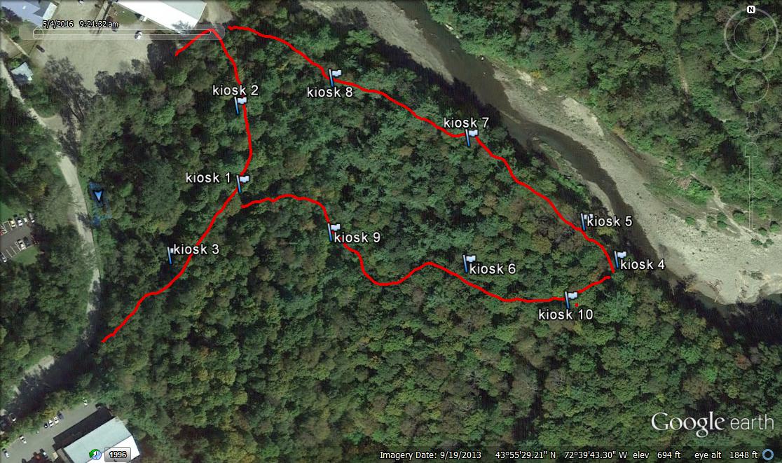
Located in the town of Randolph, between the Third Branch of the White River, Prince Street, Pleasant Street, and Randolph Avenue, the Randolph Floodplain Forest is one of Vermont’s largest remaining Sugar Maple-Ostrich Fern Riverine Flood Plain Forests (one of the rarer floodplain forest types). Floodplains are periodically inundated by heavy rains and spring thaws. Their porous nature allows them to absorb considerable amounts of water before reaching flood stage. They thus act as protective sponges helping to reduce the effects of flood events. It is therefore in the town’s best interest to protect and maintain this rare gem.
Features
Restrooms on site
Wheelchair accessible trail
Entrance fee
Content from Official Website
Last updated October 9, 2023