Garland Ranch Regional Park--Rancho/Lupine Loop
Garland Ranch Regional Park--Rancho/Lupine Loop
Carmel Valley, California 93924
Tips for Birding
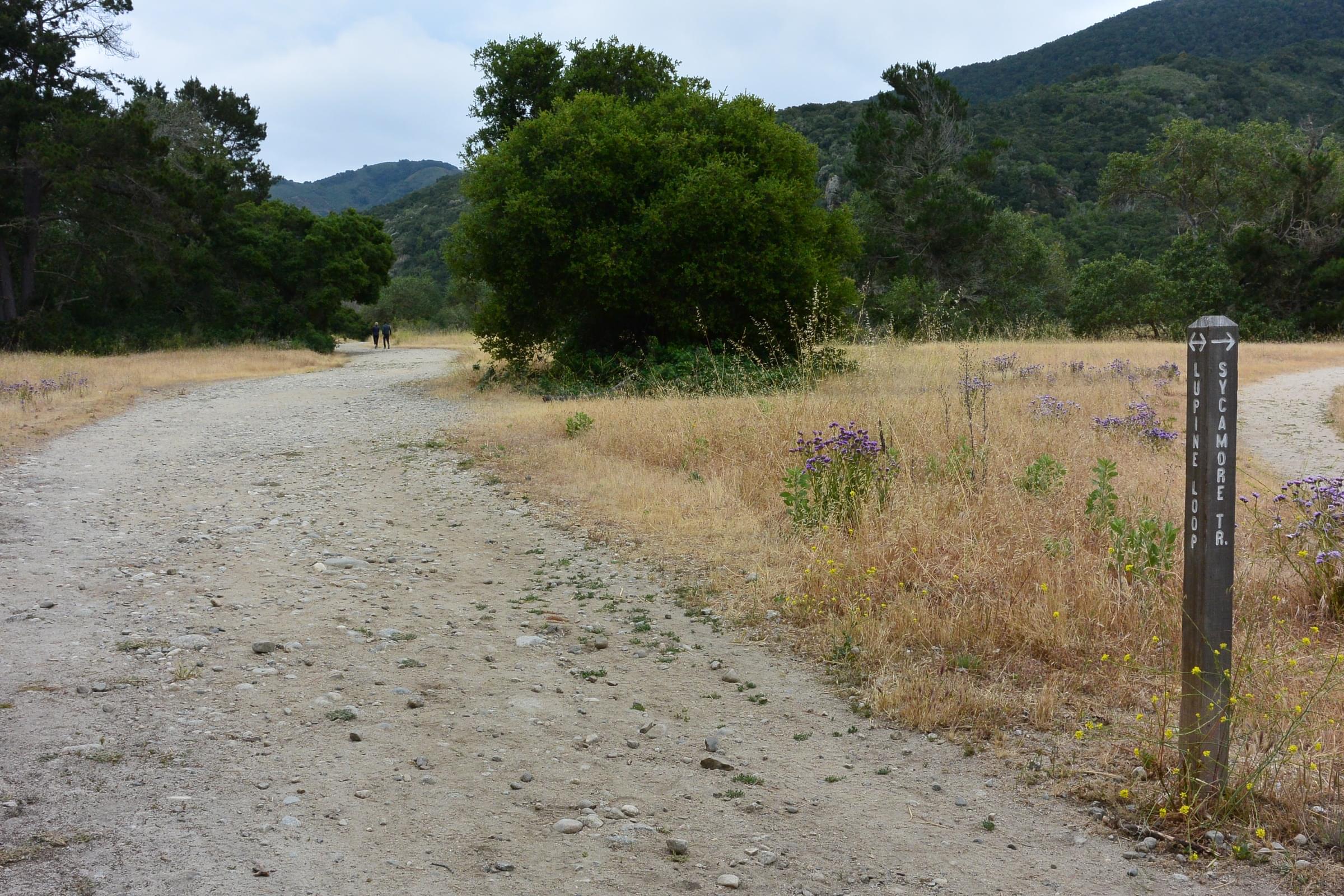
The Lupine Loop is 1.4 miles long and begins at the Visitor Center. It proceeds along the riparian corridor on one side with meadow in the center. The return extends into a mixed woodland of live oak, buckeye, sycamore, and cottonwood.
The Rancho Trail is roughly 1.5 miles in length and begins at the foot of the vehicle bridge. It has meadow and riparian habitat. A small 0.3 mile loop branches into a eucalyptus grove, which may have many nesting birds in the summer. From this grove, a short narrow spur reaches down to the banks of the Carmel River.
Birds of Interest
The wide variety of habitats provides resources for many birds of the forest and meadow. You will find a variety of hawks, woodpeckers, songbirds, and flycatchers.
About this Location
Near the Visitor Center is a native plant garden with picnic benches. The Visitor Center is occasionally staffed with volunteers. Restrooms are adjacent to the Visitor Center.
Birdability: none of the trails are rated ADA. These two trails are wide and mostly level but may be sandy with embedded pebbles and roots.
About Garland Ranch Regional Park
See all hotspots at Garland Ranch Regional Park
Garland Ranch Regional Park contains over 3400 acres that were formerly a ranch. The park is now owned and administered by the Monterey Peninsula Regional Park District. The main entrance at 700 West Carmel Valley Road has a very large parking lot with a walk to a Visitor Center and restroom facilities. A vehicle bridge (for official vehicles only) crosses the Carmel River and is available to pedestrians and cyclists year-round. A small footbridge crosses the river during the summer and fall when the water level is low. The park has a variety of habitats including riparian, meadow, mixed oak woodland, and redwood canyon. The park is multi-use: birders will share the trails with hikers, equestrians, and is dog-friendly (defined as "on leash or within direct voice control;" some park users will stretch this definition). Bicycling is only allowed in a small portion of the park.
The main units of Garland Ranch Regional Park are open dawn to dusk. There are a variety of entrances and various eBird Hotspots, including a "general" Hotspot and a variety of sub-locations that generally feature specific trails. [The is also a stand-alone Hotspot for the newly-acquired, permit-only Kahn Ranch unit.] Elevations with the primary Garland Ranch Regional Park vary from 200 to 2000 feet [60--600m] elevation. The park stretches from the banks of the Carmel River southwards into the Santa Lucia Mountains foothills. Garzas Creek bisects the Park, often flowing through densely wooded habitats.
Notable Trails
Garland Trail map: https://www.mprpd.org/files/2540014cf/GRRP_2010.pdf
The main entrance at 700 West Carmel Valley Road has a very large parking lot with a walk to a Visitor Center and restroom facilities.
Features
Restrooms on site
Wheelchair accessible trail
Entrance fee
Roadside viewing
Content from Carol Greenstreet
Last updated June 13, 2023