Stirrup Brook
About this Location
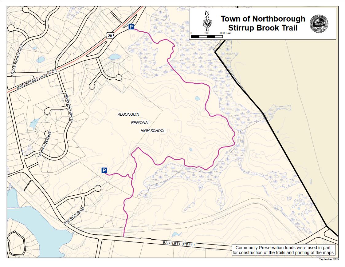
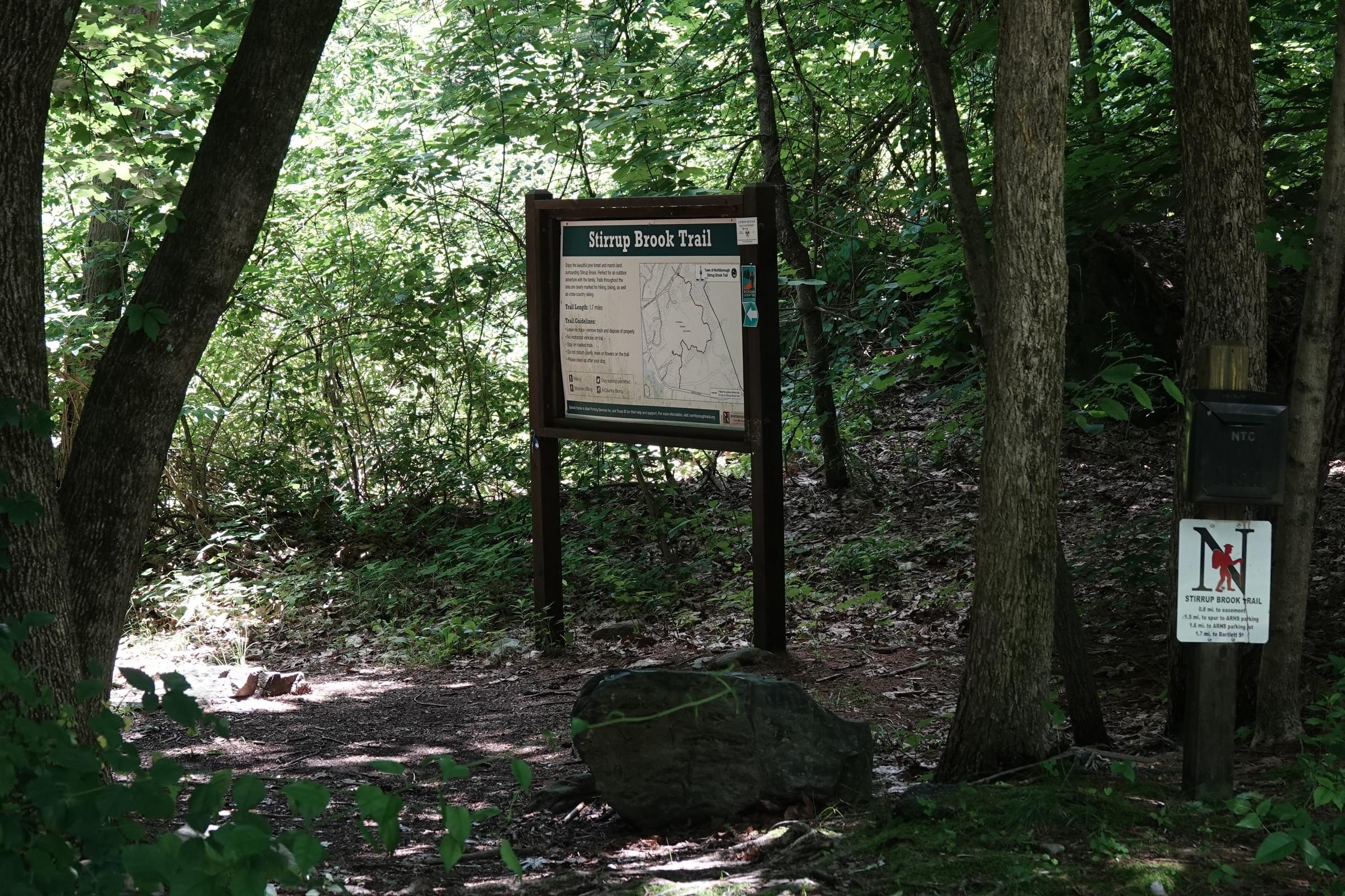
Stirrup Brook Trail is a 3.1-mile out-and-back trail near Northborough. It is an easy hike that takes about an hour to complete. The trail passes through a marshland, a pine forest, and along Stirrup Brook. It also offers views of the Assabet River and the Boston skyline on a clear day. The trail is well-marked and accessible from a pull-off on US-20 and a trailhead behind Algonquin Regional High School.
Start in beautiful marshland and hike on a farm road into a pine forest. A portion meanders along Stirrup Brook.
Notable Trails
The AllTrails website has a description and map of a hike on the Stirrup Brook Trail.
Features
Restrooms on site
Wheelchair accessible trail
Entrance fee
Content from Official Website
Last updated December 18, 2023