Lake Cumberland WMA--Ringgold Road
Lake Cumberland WMA--Ringgold Road
Somerset, Kentucky 42503
Lake Cumberland WMA (Fishing Creek) mapUpper Cumberland Region Public Access webpage
Birds of Interest
Neotropical migrants and waterbirds.
About Lake Cumberland WMA (Fishing Creek)
See all hotspots at Lake Cumberland WMA (Fishing Creek)
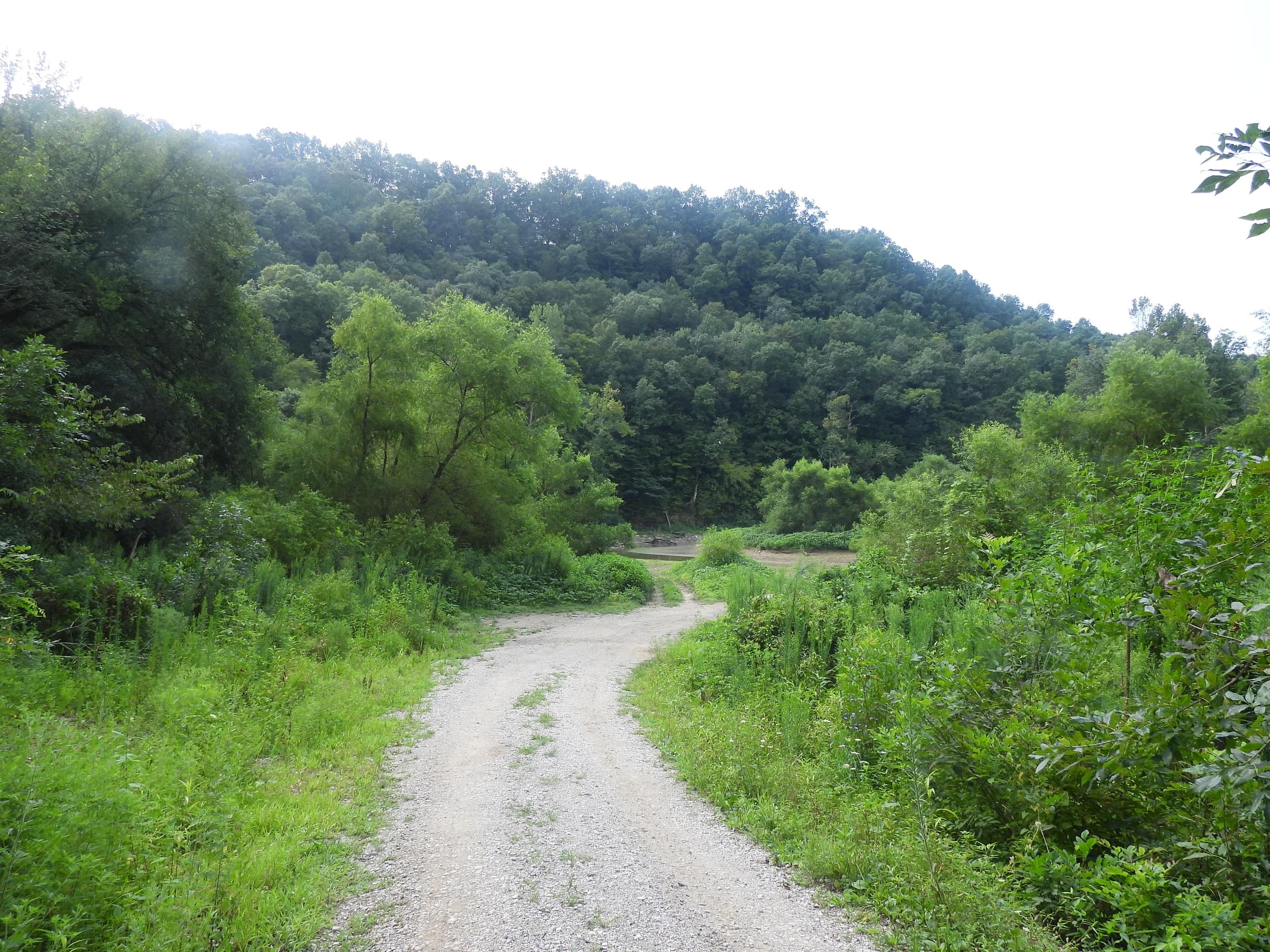
This section of the Wildlife Management Area consists of shoreline surrounding Fishing Creek. A number of birding sites on the shores of Lake Cumberland are collectively known as the Lake Cumberland Wildlife Management Area, owned by the Corps of Engineers but managed by the Kentucky Department of Fish and Wildlife Resources. It is composed of bottomland that is flooded during heavy rains. It contains woodland, strip mowed fields, corn and soybean fields, and ponds.
Features
Roadside viewing
Restrooms on site
Wheelchair accessible trail
Entrance fee
Content from Lake Cumberland WMA (Fishing Creek) map and Upper Cumberland Region Public Access webpage
Last updated October 5, 2023