Wachusett Reservoir--Sawyer Bluff
Wachusett Reservoir--Sawyer Bluff
Boylston, Massachusetts 01505
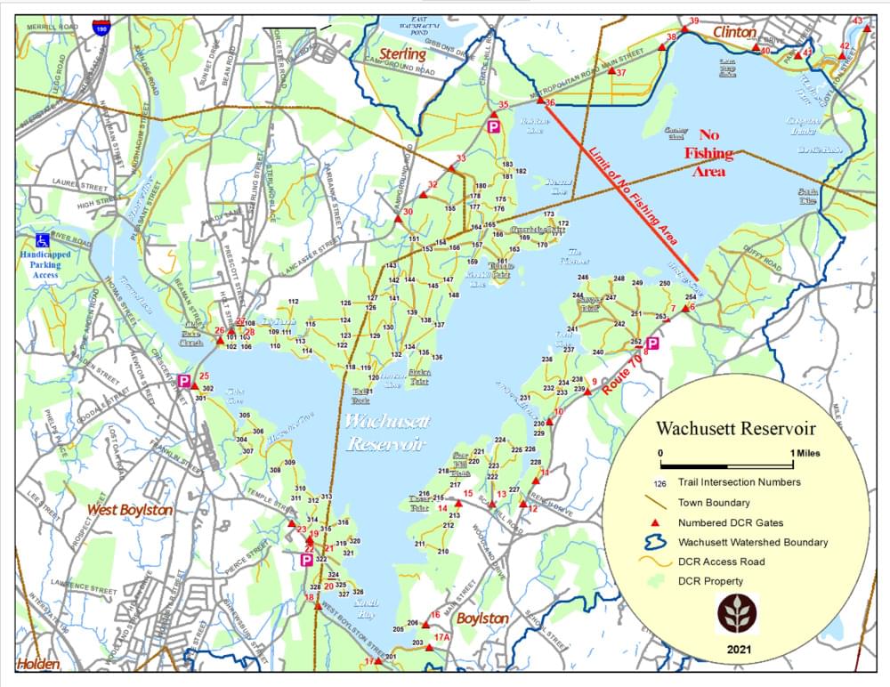
Wachusett Reservoir Official WebsiteWachusett Reservoir map
About this Location
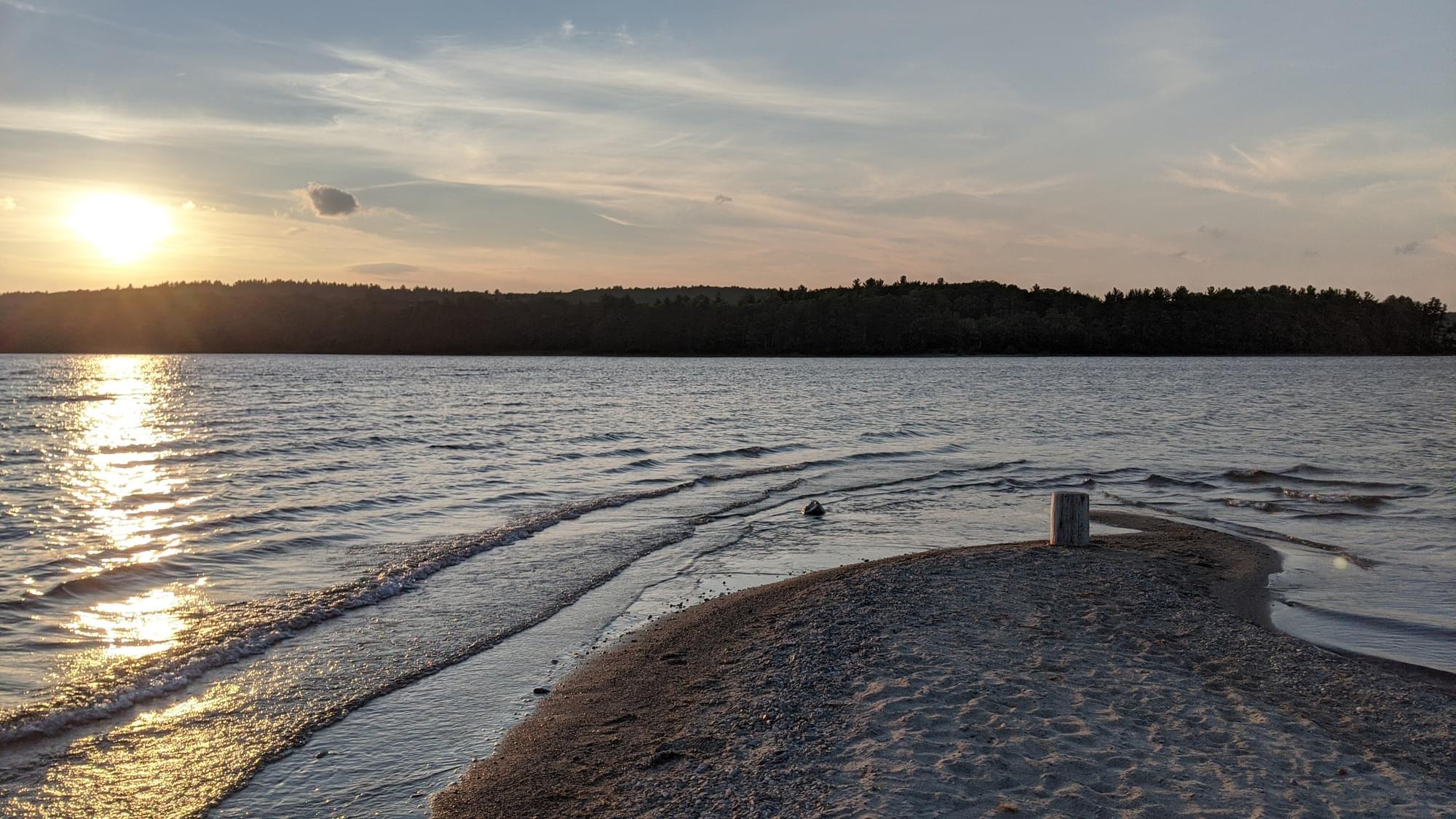
Sawyer Bluff to Wachusett Reservoir is a popular hiking trail that is about 1.7 miles long and has an elevation gain of about 289 feet. The trail offers scenic views of the reservoir. The trail follows the shoreline of the reservoir, where there are rocky outcrops and wooded areas.
About Wachusett Reservoir
See all hotspots at Wachusett Reservoir
Wachusett Reservoir, along with the Quabbin Reservoir and Ware River, is an unfiltered source of high-quality water for the Massachusetts Water Resources Authority water supply system. The 65-billion-gallon reservoir covers 108 square miles with 37 miles of shoreline. Recreational activities are regulated and limited to protect 3 million people’s drinking water.
Notable Trails
The AllTrails website has a description and map of a hike at Sawyer Bluff.
Features
Restrooms on site
Wheelchair accessible trail
Entrance fee
Content from Wachusett Reservoir Official Website
Last updated December 19, 2023