Mt. Lemmon--Summerhaven
Mt. Lemmon--Summerhaven
Coronado National Forest Mount Lemmon, Arizona 85619
Official WebsiteMount Lemmon Attraction Guide
Things to Do on Mount Lemmon
About this Location
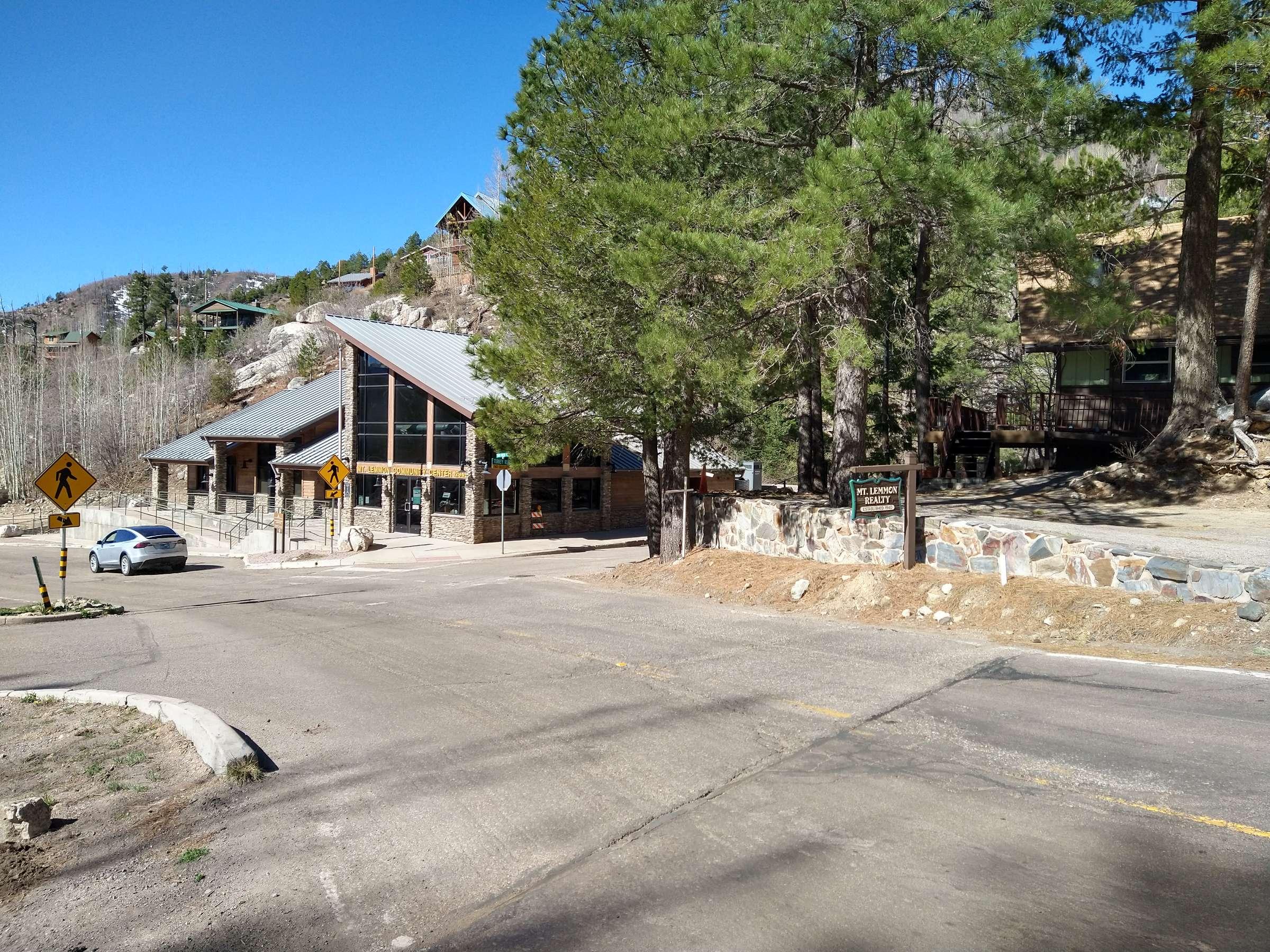
The Summerhaven subdivision of Mount Lemmon, Arizona is a community approximately 29 miles north of Tucson in the center of the Santa Catalina Mountains at an elevation of 8000’. The whole Santa Catalina mountain range is mistakenly called Mount Lemmon. The peak of Mt. Lemmon (9,157’) is actually more of a knoll, located adjacent to the University of Arizona Stewart Observatories. The average temperature on Mount Lemmon is approximately 30 degrees cooler than that of Tucson which makes Mount Lemmon quite popular during the summer months. Additionally, the top of the mountain is 9,157’ and is the location of the southernmost ski area in the United States. Mount Lemmon Ski Valley normally provides skiing and snowboarding from late December into March or April. The El Nino of 1997-98 brought 30-plus feet of snow to the mountain, one of the best years for skiing and snowboarding in recent memory. Ski Valley is also the home of the Iron Door Restaurant. In addition, there are a number of recreational amenities offered on the mountain, including hiking, camping, fishing, birding, sledding, snowshoeing, and rock climbing, making the area an attractive recreation and getaway location less than one hour from Tucson.
There are approximately 450 acres of privately owned land on Mount Lemmon, completely surrounded by the Coronado National Forest. Summerhaven, the largest subdivision, was subdivided in the 1920s. The lots in this subdivision are small, typically averaging between 5,000 and 6,500 square feet. The subdivision of Loma Sabino Pines was created by a land swap with the US Forest Service back in the 1980s. The lots in this subdivision average 16,000 square feet, giving the area a more open feeling.
About Mt. Lemmon
See all hotspots at Mt. Lemmon
Approximately an hour's drive from Tucson's city center, Mount Lemmon is a favorite day trip and camping spot for Tucsonans. It's a beautiful outdoor escape, ideal for hiking, biking, rock climbing, picnicking, sunset watching, sledding, and skiing.
Mount Lemmon is usually 20-30 degrees cooler than Tucson, so you can find cooler temperatures there in the summer and a beautiful layer of snow in the winter, along with vibrantly colored leaves in autumn.
With a summit of 9,159 feet, Mount Lemmon is the highest point in the Santa Catalina Mountains. The mountain was named for botanist Sara Plummer Lemmon, who trekked to the top of the mountain by horse and foot in 1881.
Mount Lemmon is a peak in the Catalina mountain range, surrounded by Coronado National Forest.
To reach Mount Lemmon from Tucson, turn off Tanque Verde Road onto Catalina Highway. Take Catalina Highway as far up the mountain as you desire to go!
On your way up the mountain, you may want to stop at Windy Point Vista (Mile Marker 14). This popular lookout point has bathrooms and is a terrific spot for photos.
Note that the road up the mountain is curvy with very few straight sections. If you or anyone in your car is prone to motion sickness, plan ahead by bringing bags, mints, cold water, snacks, or stomach-settling medications. It also helps to not drive on an empty stomach.
Take Catalina Highway northeast from Tanque Verde Road. For desert and mountain species, stop at picnic and campgrounds (Molina Basin, Bear Canyon, Rose Canyon Lake, and others) as you drive the narrow, winding road to high elevations.
Content from Official Website, Mount Lemmon Attraction Guide, and Tucson Audubon Society
Last updated April 23, 2024