Chittenden Reservoir - Chittenden (702 acres)
Chittenden Reservoir - Chittenden (702 acres)
Green Mountain National Forest Chittenden, Vermont 05737
Official WebsiteTips for Birding
Birdwatching in Vermont, p, 78,
About this Location
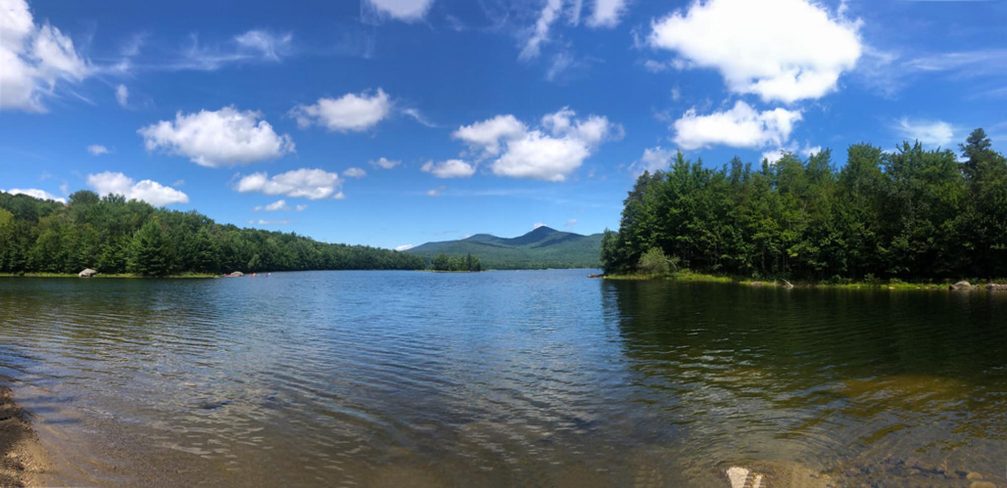
Chittenden is a 721-acre reservoir with an elevation of about 1495 feet with some spots up to 25-30 feet deep. The water elevation fluctuates depending on the season and power generation needs. On the southern end of Chittenden Reservoir is Lefferts Pond, which is a 49-acre impoundment with a large wetland area. Lefferts Pond is a shallow pond of only 10-12 feet.
To access the Chittenden Reservoir, take the Dam Road out of the Village of Chittenden. Follow the road about 2 miles until you see a sign and road for the boat ramp on the right side, at this point you will be at the foot of the concrete spillway. Turn right up the boat launch road to the parking area at the dam. The access ramp and parking area are on lands owned by Central Vermont Public Service Corporation, so please respect and rules they have developed for use of the launch and parking area. Remote access for non-motorized craft only is also available to the south end of Chittenden Reservoir and Lefferts Pond. From the Village of Chittenden, take Dam Road about 1.4 miles to the junction with Wildcat Road. Turn left onto Wildcat Road and travel easterly about 0.9 miles to the junction with a gravel road on the left. Turn right onto the road and pass through the open gate and travel about .7 miles to a parking area located between Chittenden Reservoir and Lefferts Pond.
Chittenden Reservoir (702 acres) is a site for the Vermont LoonWatch annual survey. Birders are encouraged to volunteer as often and whenever they are able. See Join LoonWatch for details.
Features
Restrooms on site
Wheelchair accessible trail
Entrance fee
Content from Official Website
Last updated October 6, 2023