Lake Cumberland WMA--High Rock
Lake Cumberland WMA--High Rock
Pointer, Kentucky 42544
Lake Cumberland WMA (Fishing Creek) mapUpper Cumberland Region Public Access webpage
About this Location
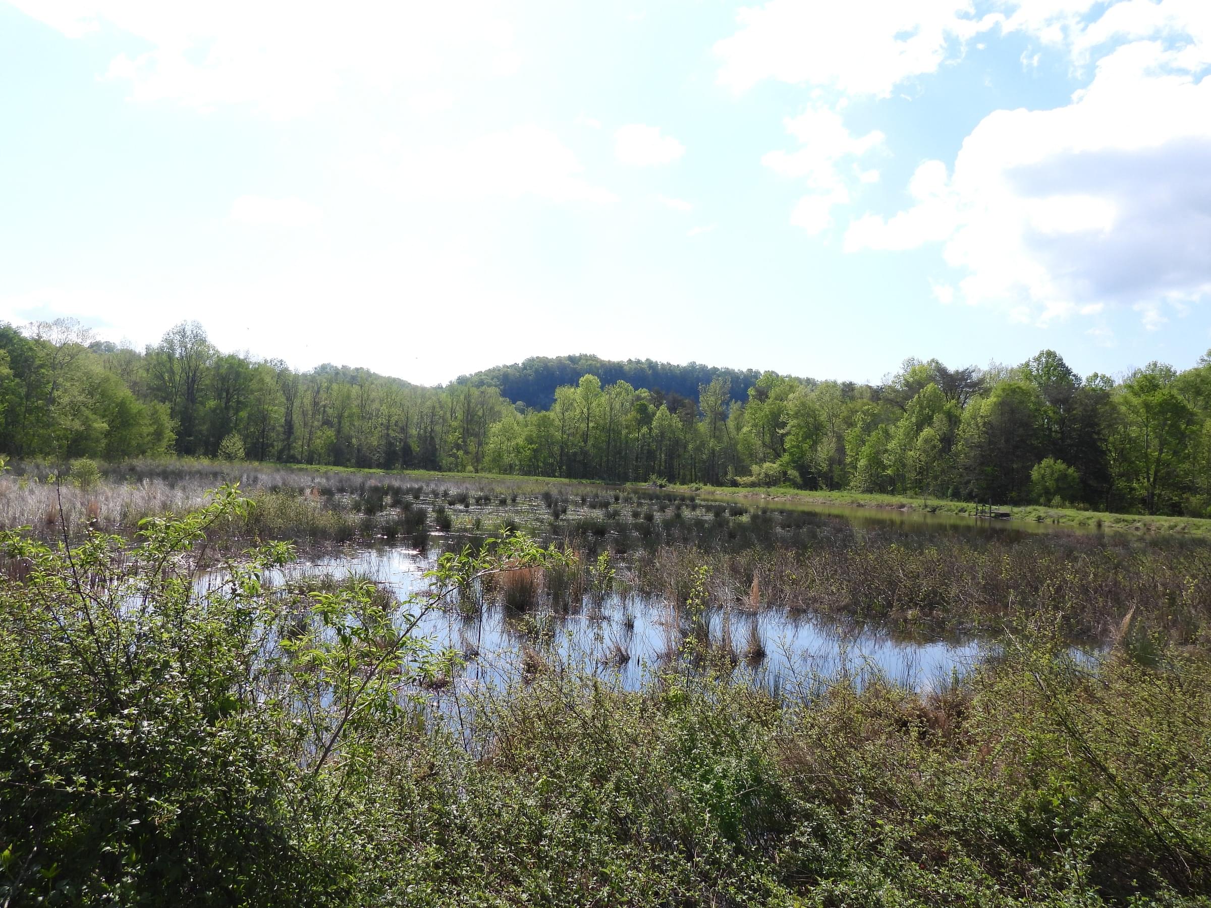
Follow Wesley East Road to the bottom of the hill. Straight ahead there is a gated road, leading to a seasonal pond on the left, strip mowed fields, and trees bordering Fishing Creek. The ponds in this area are closed October 15–March 15 each year.
About Lake Cumberland WMA (Fishing Creek)
See all hotspots at Lake Cumberland WMA (Fishing Creek)
This section of the Wildlife Management Area consists of shoreline surrounding Fishing Creek. A number of birding sites on the shores of Lake Cumberland are collectively known as the Lake Cumberland Wildlife Management Area, owned by the Corps of Engineers but managed by the Kentucky Department of Fish and Wildlife Resources. It is composed of bottomland that is flooded during heavy rains. It contains woodland, strip mowed fields, corn and soybean fields, and ponds.
Features
Restrooms on site
Wheelchair accessible trail
Entrance fee
Roadside viewing
Content from Lake Cumberland WMA (Fishing Creek) map and Upper Cumberland Region Public Access webpage
Last updated February 26, 2024