Joe's Rock Conservation Area
Joe's Rock Conservation Area
Wrentham, Massachusetts 02093
Town of Wrentham Guide to Open Spaces and Conservation LandAbout this Location
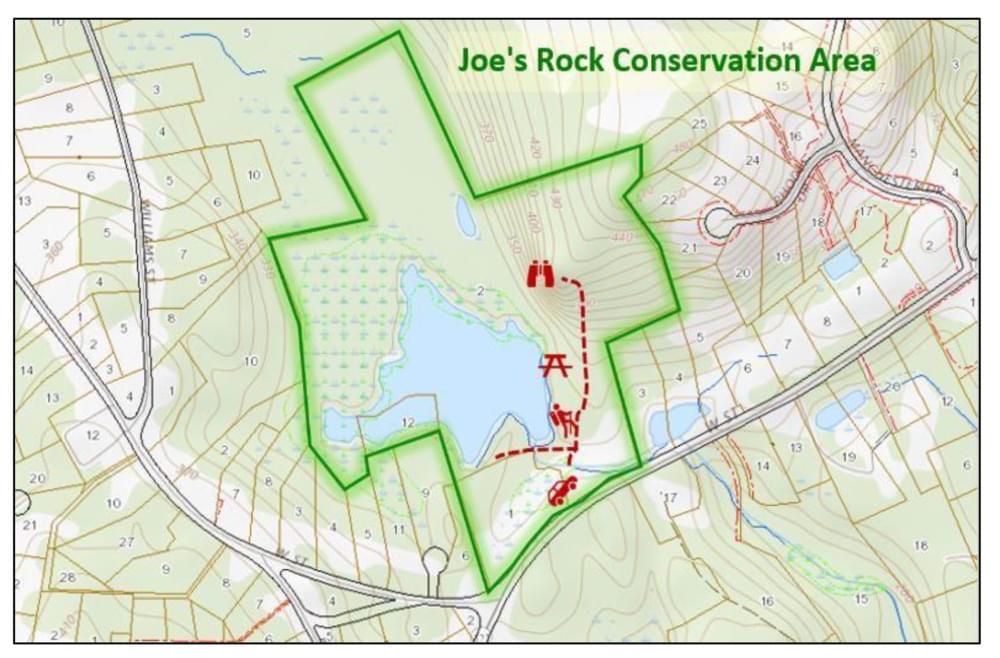
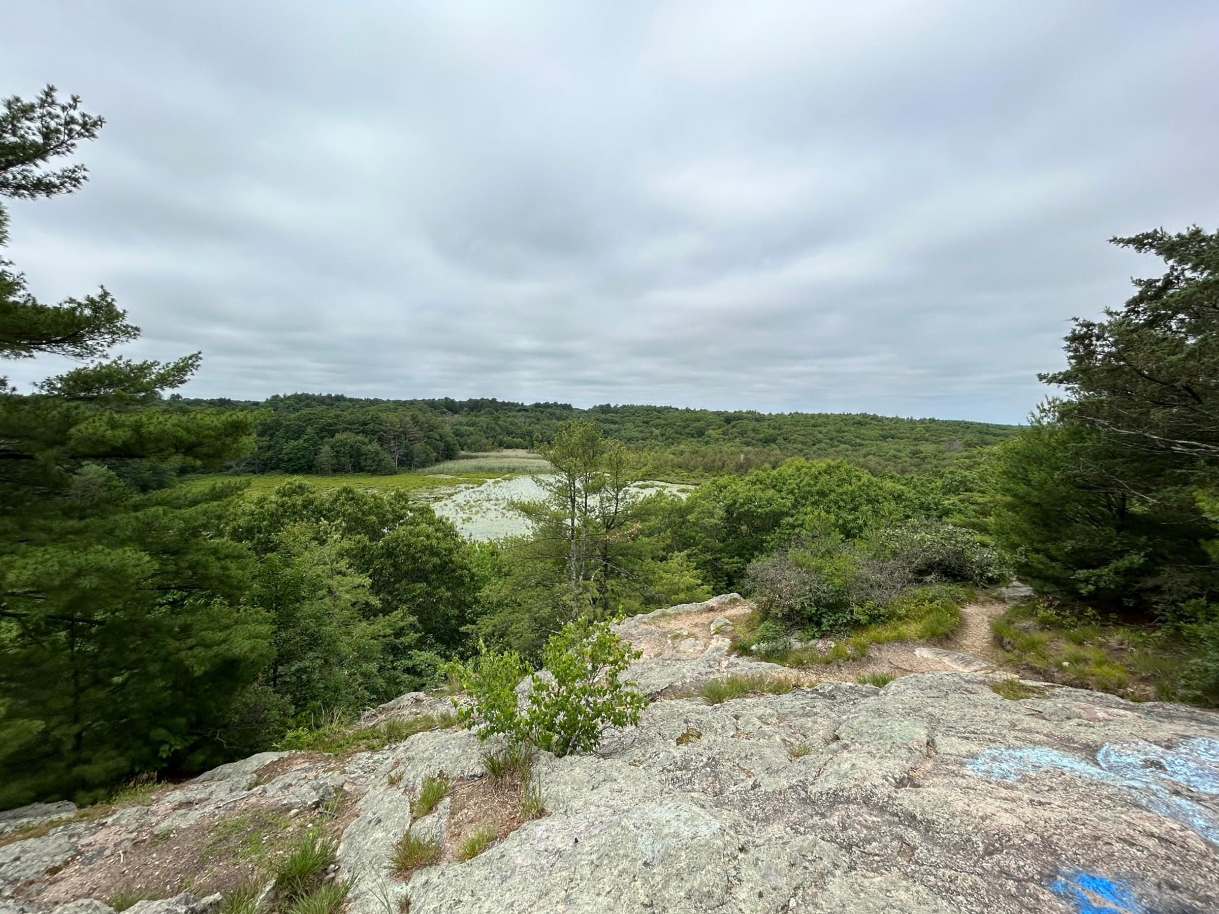
Joe's Rock Conservation Area, 60.25 acres, combines the tranquility of a 5-acre bog pond with striking views of the countryside to the southwest. These views are visible from the dramatic cliffs that rise 150 feet from the pond. The rock's 490-foot elevation is the highest in Wrentham, yet is just a short, but steep, walk from the parking lot. A trail leads from the small parking lot, past a beaver dam, to a fork, the left fork takes you to the bog pond. The pond, once a cranberry bog, is quite shallow and frequently dries up. Water overflows from the pond, southward to the Pawtucket Reservoir.
In the warmer months, one can enjoy the area’s abundant wildlife and wetlands flora. In the winter, the pond affords ice skating. The right fork in the trail passes through woods and rises through a 35-acre hillside to the top of the massive rock outcropping that gives the area its name. Joe’s Rock is said to come from a Native American legend dating back to the days of King Philip Sachem's encounters with the English settlers in the 1670s. The trail splits twice. The first, left split goes to the base of the Rock while the right fork leads to the top of the Rock. This trail splits again with the right trail winding gradually to the east while the left trail is a shorter, steeper route.
In 1992, Ms. Massie sold a 5-acre adjoining parcel to the Town. That purchase was made using funds donated by the Simeone Charitable Foundation, the Sweatt Fund, and several private citizens.
A prominent sign marks the off-street parking on the north side of West Street. The parking area is paved and can take several cars.
Features
Restrooms on site
Wheelchair accessible trail
Entrance fee
Content from Town of Wrentham Guide to Open Spaces and Conservation Land
Last updated February 8, 2024