Del Monte Forest--SFB Morse Botanical Reserve
Del Monte Forest--SFB Morse Botanical Reserve
Tips for Birding
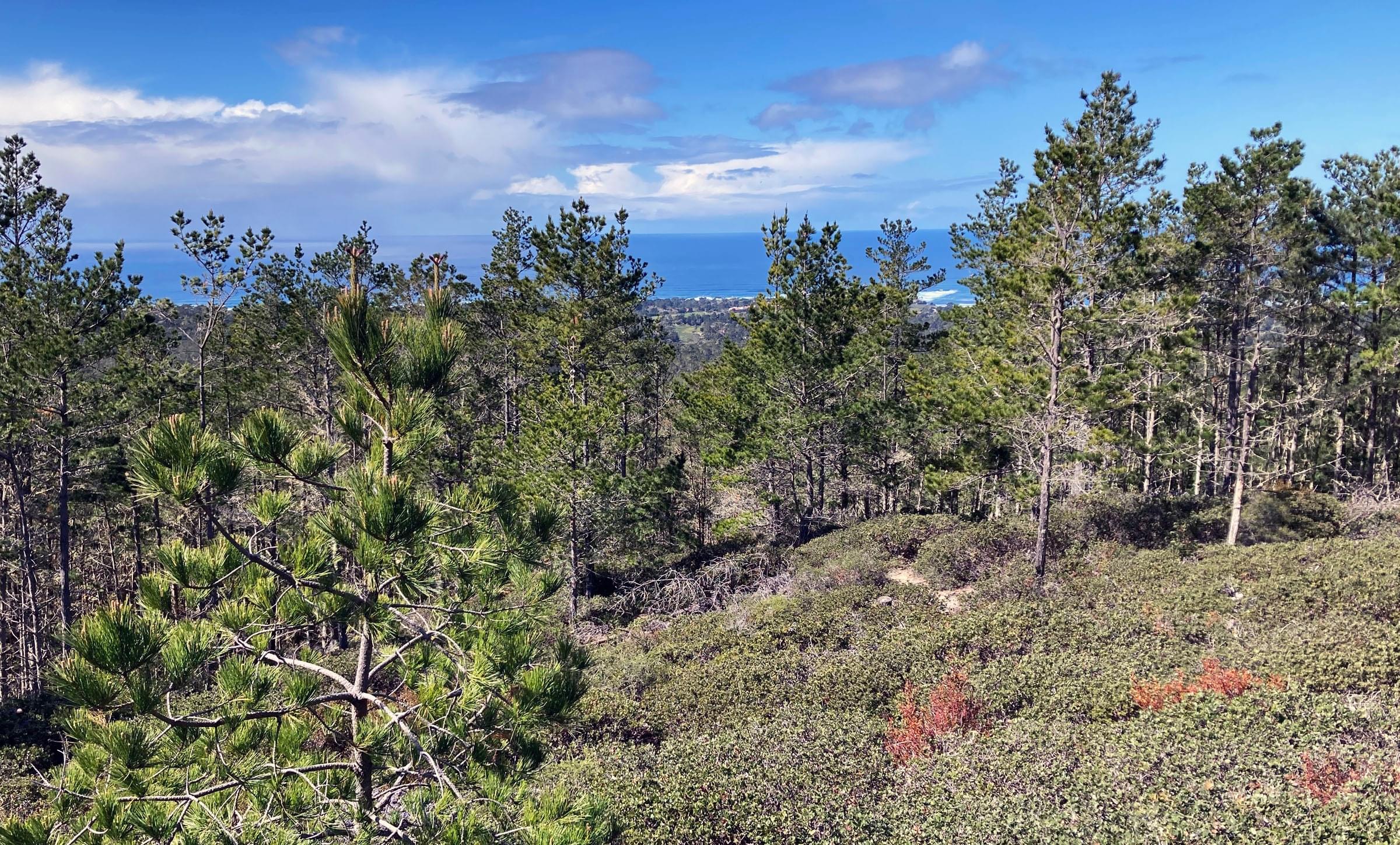
The Hotspot is for an approximately 500 acre Monterey and Bishop Pine forest bounded by Highway 68 on the northeast and residential neighborhoods along the other sides. The area slopes down to the northwest and is criss-crossed with trails and fire roads. The dirt fire roads generally follow the contours of the hillside in a southwest-northeast direction whereas the trails trend up and down the hillside in a southeast-northwest direction. The dense grid of trails and fire roads allows for a multitude of loops to walk through the forest.
The easiest entry is at the SFB Morse Botanical Reserve parking area along highway 68 (see map). Multiple other entryways into the area exist where the trails and fire roads intersect neighborhood streets, but most involve paid entry into the community of Pebble Beach/Del Monte Forest. Within the forest, there is no one area that is better (or worse) for birding. Birds occur all over the forest
Birds of Interest
This hotspot is one of the best places on the Monterey Peninsula to find forest birds. Red-shouldered Hawk, Hairy Woodpecker, Northern Flicker, Brown Creeper, Steller’s Jay, and Pygmy Nuthatch reliably occur year round. In the summer, birds like Purple Finch, Wilson’s Warbler, and Olive-sided Flycatcher, Pacific-slope Flycatcher fill the forest with sound. In winter, Ruby-crowned Kinglet, Townsend’s Warbler and Fox Sparrow take over. In irruption years the toy horn of Red-breasted Nuthatch is heard throughout the forest. Although scarce, the area is one of the best on the Monterey Peninsula to find Golden-crowned Kinglet (in winter; some winters better than others).
About this Location
The area is popular with local residents to walk, run, and dog walk. Although specifically prohibited, some local mountain bikers cannot resist the trails and dirt roads of the area. Off-leash dogs are not uncommon. The dirt roads and trails of the forest are part of a larger network of trails scattered throughout the Pebble Beach area. Trails and roads are signed at each intersection with a system of colors and numbers that must be deciphered using a map published by Pebble Beach Resorts.
As shown on both maps, a "Huckleberry Hill viewpoint," on Ronda Road in Pebble Beach/Del Monte Forest, overlooks the the forest, and provides access to multiple trails upslope in the Reserve. This "Huckleberry Hill" should not be confused with Huckleberry Hill Nature Preserve at the top of the Presidio of Monterey, on the northeast side of Highway 68.
About Del Monte Forest
See all hotspots at Del Monte Forest
Del Monte Forest (Del Monte, Spanish for "of the mountain") is a habitat area, dominated by Monterey pine, with Monterey cypress, live oaks, and an understory that includes poison oak. It contains a variety of rare and endangered plants; the SFB Morse Botanical Reserve was created within the forest to preserve these endangered "white sand" species. The original forest was occupied considerably more area before urban development in the 20th century.
Del Monte Forest is also a census-designated place (CDP) in Monterey County, California. As of the 2020 census, the CDP had a total population of 4,204,[5] down from 4,514 at the 2010 census. The census area includes the separate well-known community of Pebble Beach. Pebble Beach is now the name most people associate with the entire Pebble Beach/Del Monte Forest area, which can be accessed only through five 24-hour gates with a substantial entrance fee for visitors. Residents, workers, staff, and some other locals hold entrance permits.
For purposes of eBird, Del Monte Forest means the area dominated by Monterey pine forest, mostly upslope and west of the the more urbanized lowlands in the south and along the coast. The famed 17-Mile Drive winds through parts of Del Monte Forest, as well as along the coast where there a series of birding Hot Spots. Public restrooms are at the Bird & Seal Rocks Hotspot parking lot.
Notable Trails
The Haul Road is a wide, flat, dirt road that starts at the Highway 68 parking area. After about a half mile, the Haul Road opens into the Del Monte Forest Corporation Yard, a large open area used to store mulch, logs, and other landscaping materials, and which has its own sub-hotspot. From the Haul Road, take any of the trails or roads that lead downhill to the right from the Haul Road, and follow them as far as energy and interest allow. Turn right or left to walk on any of the fire roads that contour the hillside, and then head back up the hill by turning on any of the many roads or trails that lead back up the hillside.
Features
Restrooms on site
Wheelchair accessible trail
Entrance fee
Roadside viewing
Content from Fred Hochstaedter and Wikipedia
Last updated May 22, 2023
 Borders of Hot Spot in red; click on map to enlarge
Don Roberson