Rillito River--Swan Road to Alvernon Way
Rillito River--Swan Road to Alvernon Way
Tucson, Arizona 85718
Rillito River Park Official WebsiteRillito River Trail (Rails to Trails) webpage
Rillito River Park map
Tips for Birding
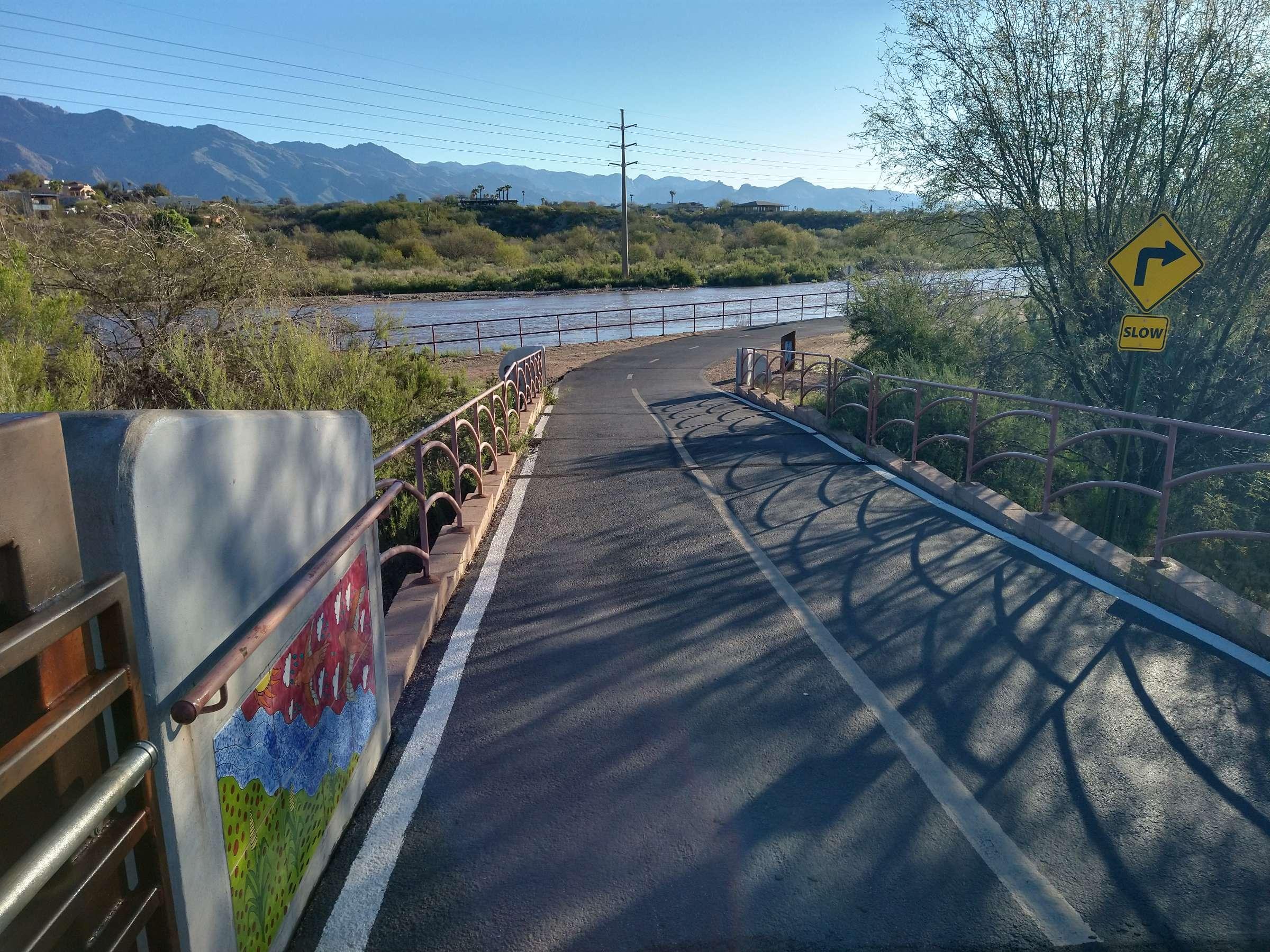
The paved multi-use path known as The Loop runs along the north and south banks of the usually dry Rillito River here. Public parking access is available near the southeast and northwest corners of the Swan Rd bridge, at the Columbus Weed Patch, at George Mehl Foothills Park and Brandi Fenton Park (each of which has its own hotspot for localized birding). The path on each bank is about 1.5 miles long. You can bird from the path or enter the river bed when it's dry.
About this Location
The Loop is very popular with speedy bike riders, runners, and walkers. Restrooms at the parks and the NW corner of the Swan Rd bridge.
About Rillito River Park
See all hotspots at Rillito River Park
The Rillito River Park Trail runs for 12 miles along the course of the Rillito River, from Craycroft Road to under I-10 and linking with the Santa Cruz River Park Trail. The trail is fully paved in asphalt and is open from dawn to dusk.
Two trails follow the banks of the Rillito River and lots of shops are conveniently located on either side for quick pulls offs. The western endpoint connects with the Santa Cruz River Park Trail, taking you down near the Tucson International Airport.
Features
Restrooms on site
Entrance fee
Roadside viewing
Content from Rillito River Trail (Rails to Trails) webpage and Mark Stevenson
Last updated April 3, 2024