Tuckernuck Island (restricted access)
Birds of Interest
The largest concentration of long-tailed duck (Clangula hyemalis) in the western Atlantic occurs nearby (counts of over 150,000 have been recorded), along with thousands of common eiders (Somateria mollissima) and three species of scoter (Melanitta spp.). In late summer a thousand or more roseate terns (Sterna dougallii), a U.S. endangered species, feed near here in preparation for their southward migration. Extensive sandspits on Tuckernuck are favored haul-out points for large numbers of harbor and gray seals (Phoca vitulina and Halichoerus grypus, respectively). The island also supports many other state and federally rare species, including Nantucket shadbush (Amelanchier nantucketensis), a candidate species for listing under the Endangered Species Act; several pairs of short-eared owl (Asio flammeus); piping plover (Charadrius melodus), a U.S. threatened species; least tern (Sterna antillarum); northern harrier (Circus cyaneus) and common tern (Sterna hirundo).
About this Location
Access to Tuckernuck Island is restricted to residents and guests.
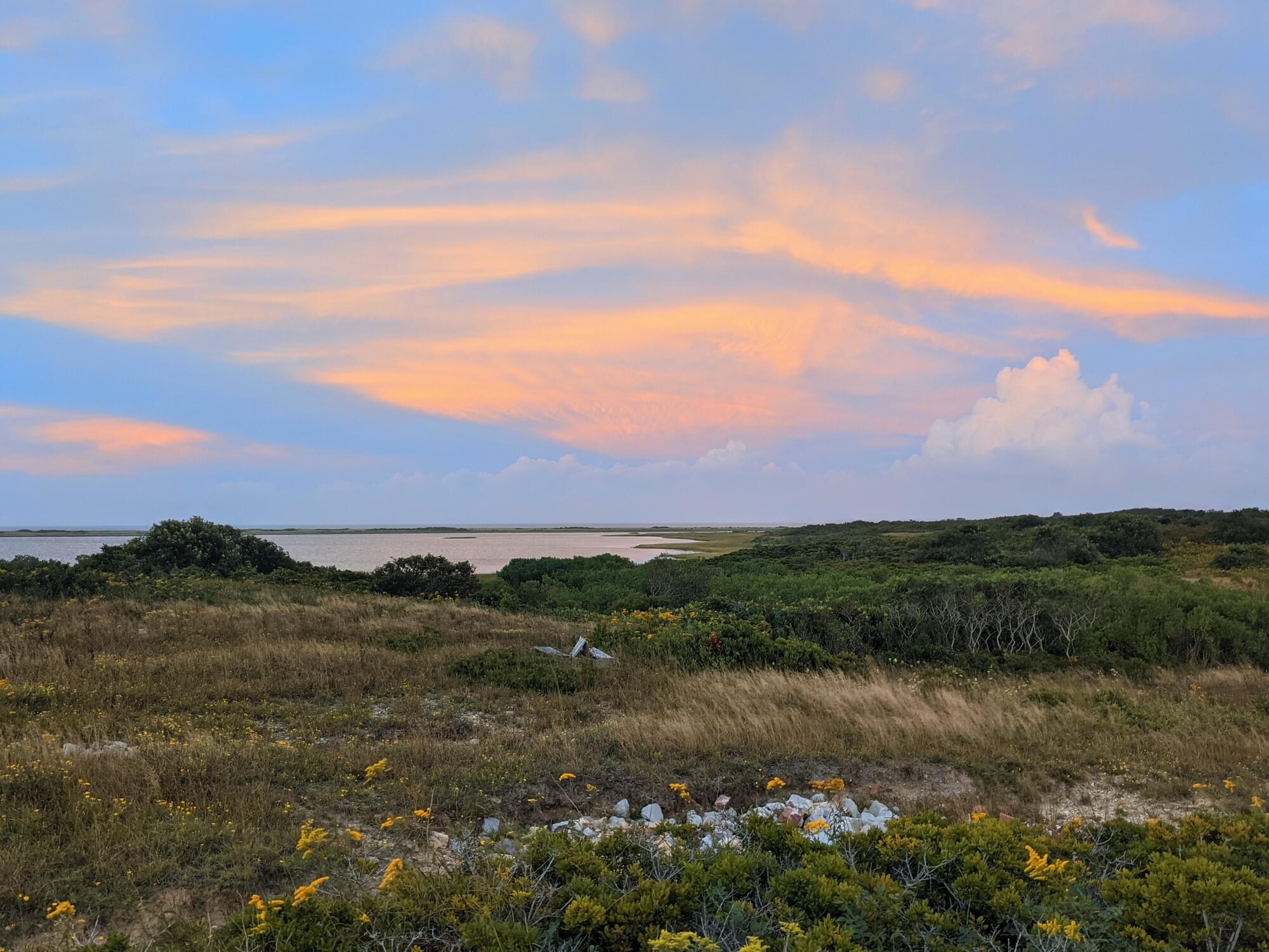
Tuckernuck is an island in the town and former whaling port of Nantucket, Massachusetts, west of Nantucket Island and east of Muskeget. Its name allegedly means “a loaf of bread”. The island has an area of about 900 acres. The highest point is about 50 feet.
The island is privately owned by its summer residents. Approximately 35 houses have been built on Tuckernuck; the oldest home on the island was built in the mid-18th century. The island has no paved roads or public utilities. Electricity is generated by gas-powered generators and solar panels. Water comes from several wells on the island and water heaters are generally gas-powered, as are the stoves. The island has some cars, but most of the motorized transportation is provided by golf carts.
Tuckernuck was originally formed by the terminal moraine of the last glacial episode (Wisconsin glaciation). It still retains remnants of the moraine as low hills, but the southern half of the island consists of outwash plains characterized by coastal heathland, a globally restricted and endangered plant community.
About Massachusetts Pelagic Birding
See all hotspots at Massachusetts Pelagic Birding
There are several different birding boat tours, whale watches, and pelagic trips that leave from Massachuestts ports. For pelagic trips, familiarize yourself with eBird's pelagic protocol and use the appropriate personal locations or eBird hotspots
The eBird pelagic protocol applies to checklists that are made farther than two miles offshore on oceans, seas, or large lakes. Choose the Pelagic Protocol option from the ‘Other’ menu of Observation Types. Please note that we still have much to learn about seabird distribution, so we encourage you to add photos and notes to document your sightings on your checklists!
If you’re moving: Count for up to 60 minutes on each checklist; stopping at the 1-hour mark. Record the distance traveled (ideally with eBird Mobile Tracks), adjust the distance estimate for backtracking as you would a traveling checklist, and choose a location on the map for where you started that checklist period. Repeat this process throughout the trip until you return to within two miles of shore.
If you’re anchored: Keep a checklist for as long as you’re anchored, and then follow the above instructions once you start to move again.
Content from Wikipedia
Last updated December 21, 2023