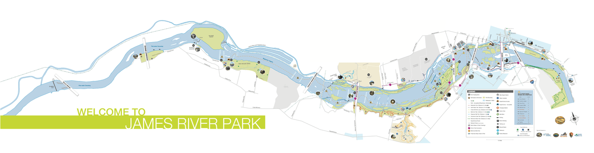
James River Park--Floodwall Section

James River Park--Floodwall Section
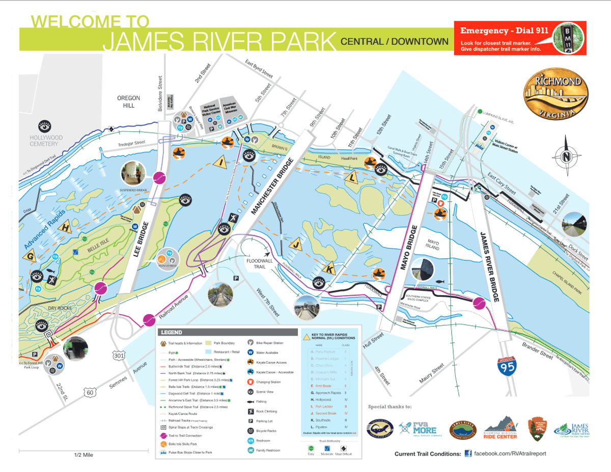
(approximate) 111 Hull Street Richmond, Virginia 23224 The central place to park for this hot spot is Floodwall Park. There is a small parking lot at the south end of the 14th Street (aka Hull Street) bridge. To begin at the western end of the Floodwall walk, there is parking on 6th Street and 7th Street, near Legend Brewing, at the following address: 321 West 7th Street Richmond, Virginia 23224
James River Park System Official WebsiteJames River Park System map
Friends of James River Park
About this Location
This is a walking path along the floodwall on the south bank of the James River. The 0.7-mile western section connects the T. Tyler Potterfield Memorial Bridge to the central Floodwall Park. The eastern (aka "Southern") section, 0.4 mile long, leads east from the park to Maury Street (at I-95).
Most of the path is elevated, atop the floodwall. The eastern end is closer to river level, and in some places there are two paths (one atop, one closer to the river).
There are no restrooms at the west end. There may be restrooms at Floodwall Park (TBD).
About James River Park System
See all hotspots at James River Park System
The James River Park System includes parks, trails, and many eBird Hot Spots along the river through metropolitan Richmond City. Birding here provides year-round opportunities in a variety of habitats: river, wetlands, riparian woods, river islands, and more.
Features
Wheelchair accessible trail
Entrance fee
Roadside viewing
Last updated February 3, 2024