Otonabee Gravel Pit CA
Otonabee Gravel Pit CA
Crowley Line, Otonabee-South Monaghan Township, Ontario
Birds of Interest
Waterbirds are the primary attraction at this site. A variety of waterfowl utilize the gravel pit ponds, overfly the area or can be viewed along the river from a spur trail south of the loop trail. Thirteen species of shorebirds (including American Woodcock) have been recorded at this site. Numbers and species diversity are dependent on water levels in the ponds, which fluctuate both annually and seasonally. Killdeer, Wilson’s Snipe, Spotted and Solitary sandpipers and both yellowlegs species are regularly observed. Other waterbird species that have been observed at least occasionally include Sandhill Crane, Virginia Rail and Sora, Great Blue and Green herons. Both Broad-winged and Red-shouldered hawks breed locally, as do Eastern Screech-Owl and Barred Owl. A wide variety of passerine species has been observed at the site. During migration, the forest edge along the north side of the loop trail can be productive, particularly for warblers.
About this Location
The Otonabee Gravel Pit Conservation Area is a property owned by Otonabee Conservation. The site was purchased by the conservation authority in 1977 and was under an aggregate licence with active extraction until the late 1990s. The abandoned pits have gradually revegetated, and the gravel pit ponds have become a productive place for waterbirds and other species.
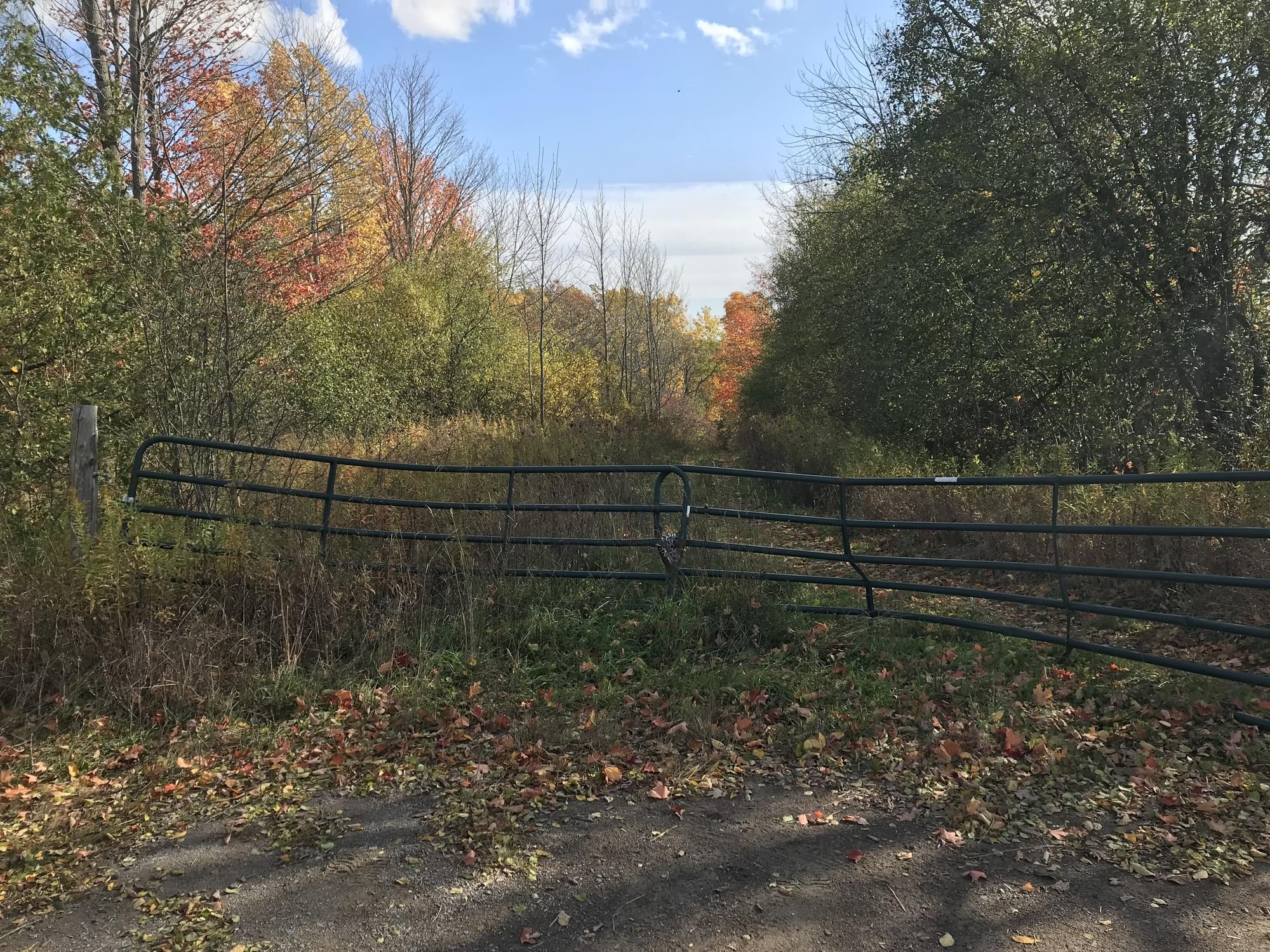
The entrance to the area is accessed from the south end of Crowley Line, where it meets Rosa Landing Road. There is room at the entrance gate to park two or at most four vehicles, just be sure to pull off the road as much as possible so as not to impede local traffic.
The old access road leads down the slope from the locked gate around 250 m to another gate on the east (left) side of the trail. There is pedestrian access around the gate and the trail follows the old access road along the north side of the water-filled pits. Directly south from this gate is the beginning of the longer loop trail.
Notable Trails
In addition to the trail to the north side of the gravel pit ponds, there is a loop trail that leads south from gate, around the west, south and east sides of the former extraction area ultimately returning west along the north side of the pits and back to the start. This loop trail is just short of 3 km in length and requires a minimum of 45 minutes to walk. The trail is not marked with blazes and is not currently maintained, but there has been sufficient pedestrian traffic over the years that the trail is somewhat compacted and easily followed. Roughly midway along the south side of this trail there is a short spur trail that leads down to the Otonabee River.
Features
Restrooms on site
Wheelchair accessible trail
Entrance fee
Roadside viewing
Content from Patrick M Kramer and Donald A Sutherland
Last updated March 25, 2024
 Map of Otonabee Gravel Pit showing the trails
Patrick M Kramer