Lick Creek & Lick Creek Falls Trails
About this Location
At Whitley City take KY 478 west to KY 1651. Turn left (south) and follow 1651 for 1 mile before reaching Forest Service Road 622 on your right (the first paved road past the school bus garage). The trailhead is 100 feet up Forest Service Road 622 on your left at the gate.
Parking is available at the trailhead on Forest Service Road 622.
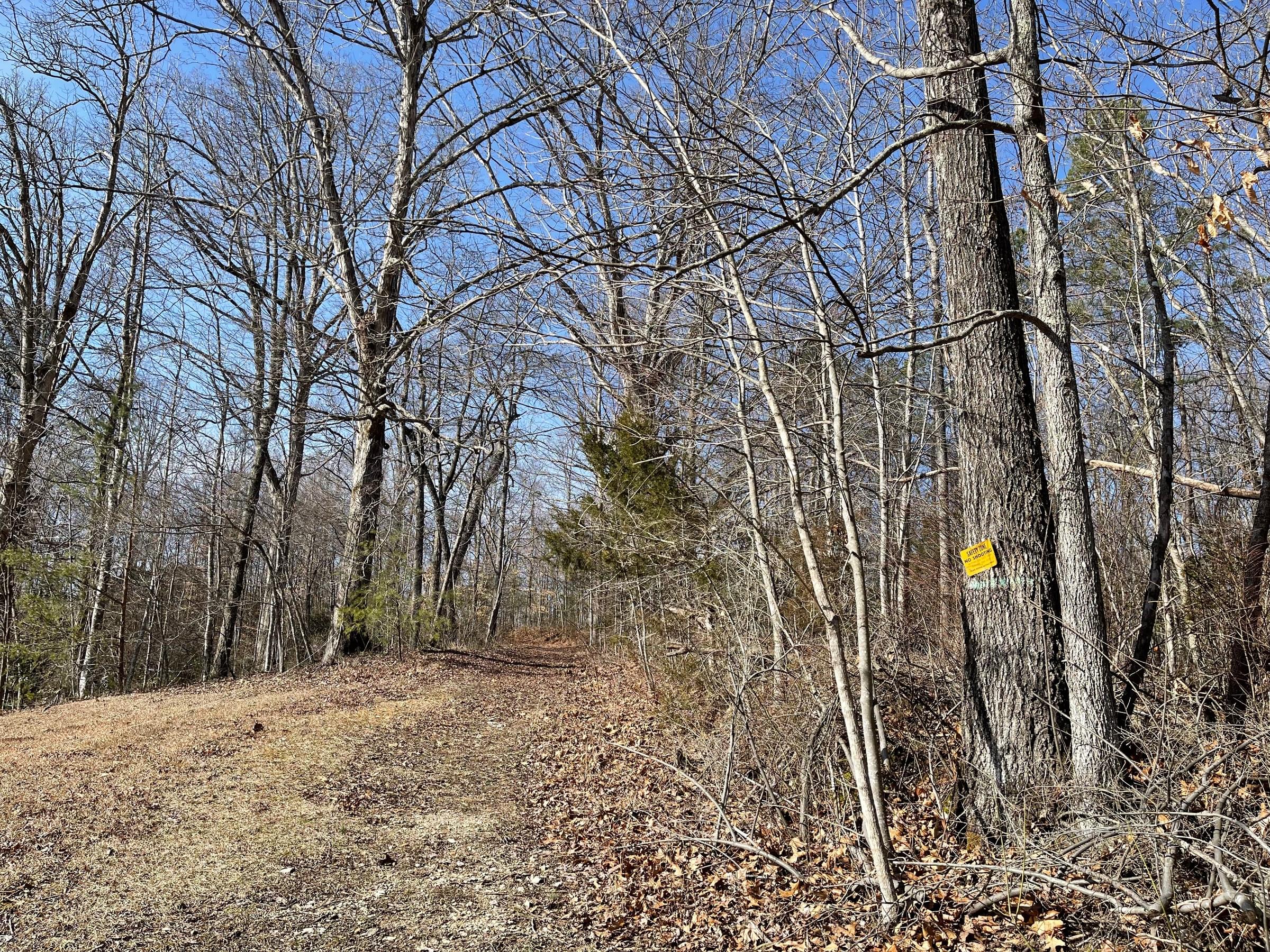
Lick Creek Trail #631 follows an old roadbed along a ridge for one mile before changing to a footpath. During the next 0.5-mile, the trail descends more than 300 feet in elevation. Several sets of metal stairs will be encountered. You will walk behind rock overhangs and shelters, and even cross beneath a wet season waterfall before reaching the creek after two miles along the trail.
At 2.25 miles, Lick Creek Falls Trail takes off to the left. This is a 1/2-mile trail to Lick Creek Falls. If continuing on the Lick Creek Trail, be sure to watch for white diamond blazes that mark the way.
It will be necessary to cross Lick Creek several times, so be prepared for the possibility of getting your feet wet. Although the creek isn’t too deep, it is wide in places.
At 3.35 miles along the trail, you will reach Princess Falls. The trail ends at 3.45 miles when it connects with the Sheltowee Trace.
The Sheltowee Trace National Recreation Trail runs north and south along the Big South Fork River here. By following the Sheltowee southward, Yamacraw Bridge and KY 92 will be reached within 1.2 miles.
Features
Restrooms on site
Wheelchair accessible trail
Entrance fee
Roadside viewing
Content from Official Website