Surry Mountain Lake, Surry
About this Location
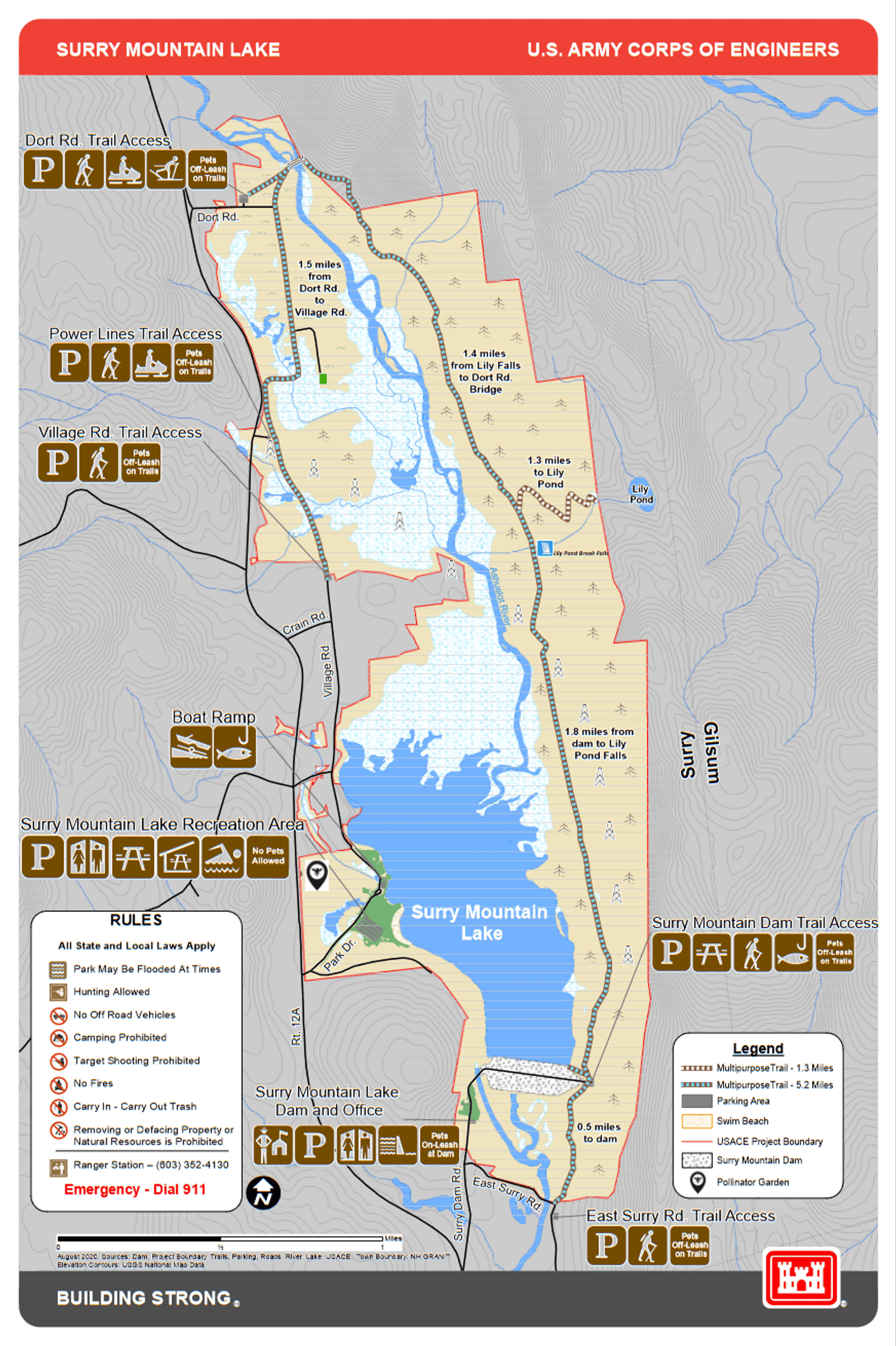
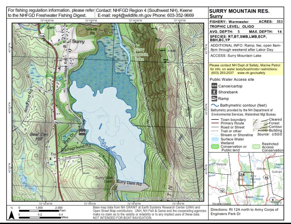
Surry Mountain Lake is a reservoir created by the United States Army Corps of Engineers in 1941 to prevent flooding of the Ashuelot River downstream. The lake covers 353 acres and is surrounded by over 1,600 acres of managed land that offer recreational activities.
The recreation area at Surry Mountain Lake offers activities year-round including swimming, sunbathing, picnicking, canoeing, horseshoes, and volleyball. The park boasts a 600-foot-long sandy beach, a boat ramp, and picnic tables with grills. Winter visitors enjoy X-country skiing, ice fishing, snowshoeing, and snowmobiling. Hunting and fishing are permitted.
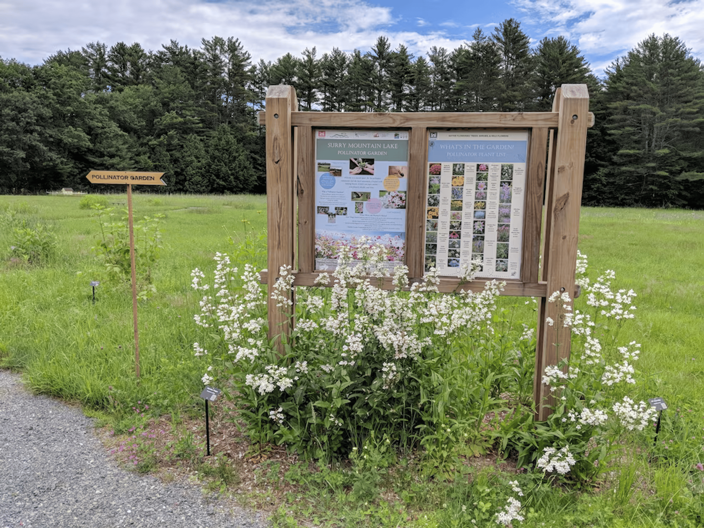
In season, park rangers offer special interpretive programs on natural resources, water safety, and flood control and gatehouse tours are also available.
Notable Trails
Surry Mountain Lake has over 6 miles of multipurpose trails that are available for hiking, walking, running, and biking, as well as snowmobiling, snowshoeing, and cross-country skiing in the winter. Pets must be leashed on the dam road but may be off-leash on the trails, as long as they are in the owners' control. The trails offer access to the Dort Road Natural Area, Lily Pond Falls, and the Lily Pond Trail up Surry Mountain, which extends off of the US Army Corps of Engineers property. The trail also provides many opportunities for wildlife sightings with access to the lake shoreline, wetlands, grasslands, and wooded areas with stream crossings.
Features
Restrooms on site
Wheelchair accessible trail
Entrance fee
Last updated November 23, 2023