Mount Pollux Conservation Area
Mount Pollux Conservation Area
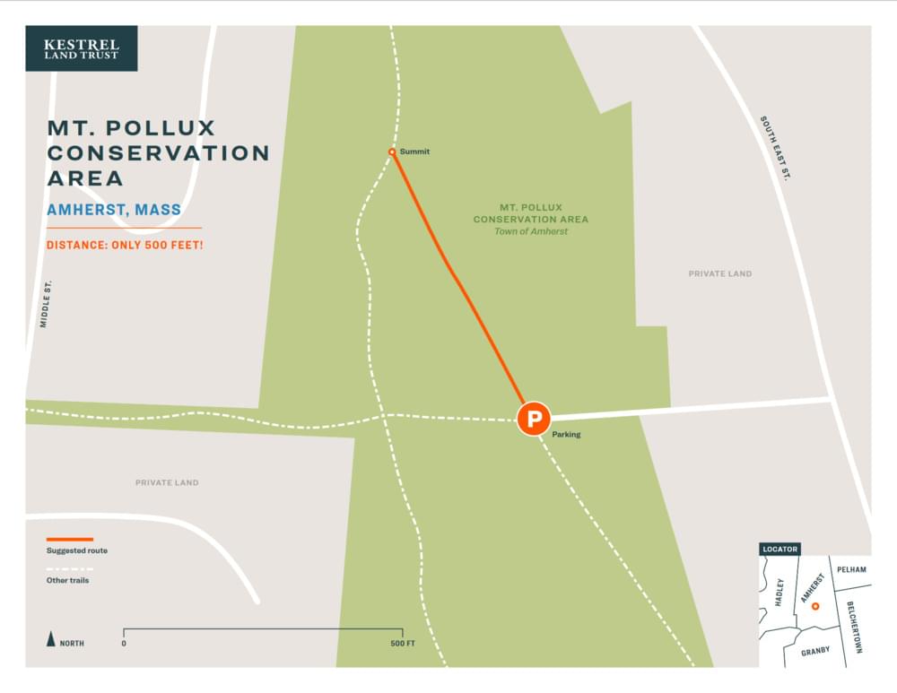
Amherst, Massachusetts 01002
Official WebsiteMount Pollux Conservation Area map
Tips for Birding
Mount Pollux Conservation Area has the best view in the Valley for the shortest walk. It is a place to enjoy 360-degree views of the Mount Holyoke Range to the south, the Berkshires to the west, and Mount Toby and Brushy Mountain to the north.
About this Location
Mount Pollux Conservation Area is a 66-acre open space property that has scenic views of the Holyoke Range and the Connecticut River Valley, and opportunities for hiking, birdwatching, and picnicking. The property was acquired by the town of Amherst in 1999 with the help of the Kestrel Land Trust and the Massachusetts Department of Environmental Management. The conservation area is named after Mount Pollux, a prominent hill that rises to 413 feet above sea level. The hill was formed by glacial deposits during the last ice age and is composed of sand and gravel. The conservation area also features a former apple orchard, a wetland, and a mixed hardwood forest. Mount Pollux Conservation Area is open to the public year-round from dawn to dusk. Visitors are asked to respect the natural resources and wildlife, and to follow the rules and regulations posted at the entrance. Dogs are allowed on leash, but bicycles, motorized vehicles, hunting, and camping are prohibited.
Notable Trails
The AllTrails website has a description and map of a hike at Mount Pollux Conservation Area.
Features
Restrooms on site
Wheelchair accessible trail
Entrance fee
Content from Official Website
Last updated January 6, 2024