Race Point
Race Point
Official WebsiteCape Cod National Seashore website
Cape Cod National Seashore map
Guidelines for viewing nesting shorebirds at Cape Cod National Seashore
Cape Cod National Seashore Trails webpage
Tips for Birding
Race Point is one of the premier seawatching locations in the United States. The hotspot can be accessed from the Park Ranger Station (expect a parking fee from May until September), or there is limited parking available at the Hatches Harbor Fire Road Trail which will bring you to the beach via an approximately 1.5 mile walk. A spotting scope is especially helpful for this site in order to maximize what you will be able to see when seawatching, although one could still have a reasonably good time scanning the shoreline with just binoculars. Depending on the wind direction, you might find lee in the dunes, or next to the Ranger Station.
Birds of Interest
Since Race Point is almost entirely surrounded by the Atlantic Ocean at the tip of a 60+ mile peninsula, it is one of the best spots to find pelagic birds from land in Massachusetts. Given it's geographic position, the possibilities of what birds you can expect to find are endless. It takes time to fully appreciate this hotspot, many factors such as wind direction and speed, weather conditions, tidal stages, and more will dictate what birds are present. Some of the most commonly sought after birds at this hotspot include: Dovekies, Common Murre & Thick-billed Murre, Parasitic Jaeger, Pomarine Jaeger, Long-tailed Jaeger (on rare occasions), Pacific Loons, Black-legged Kittiwake, 4 species of Shearwaters (Cory's, Manx, Sooty, and Great), Wilson's Storm Petrels, Bonaparte's Gull, Iceland Gull, and many more. Be sure to check recent sightings and bar charts on eBird to know when to expect each species.
About this Location
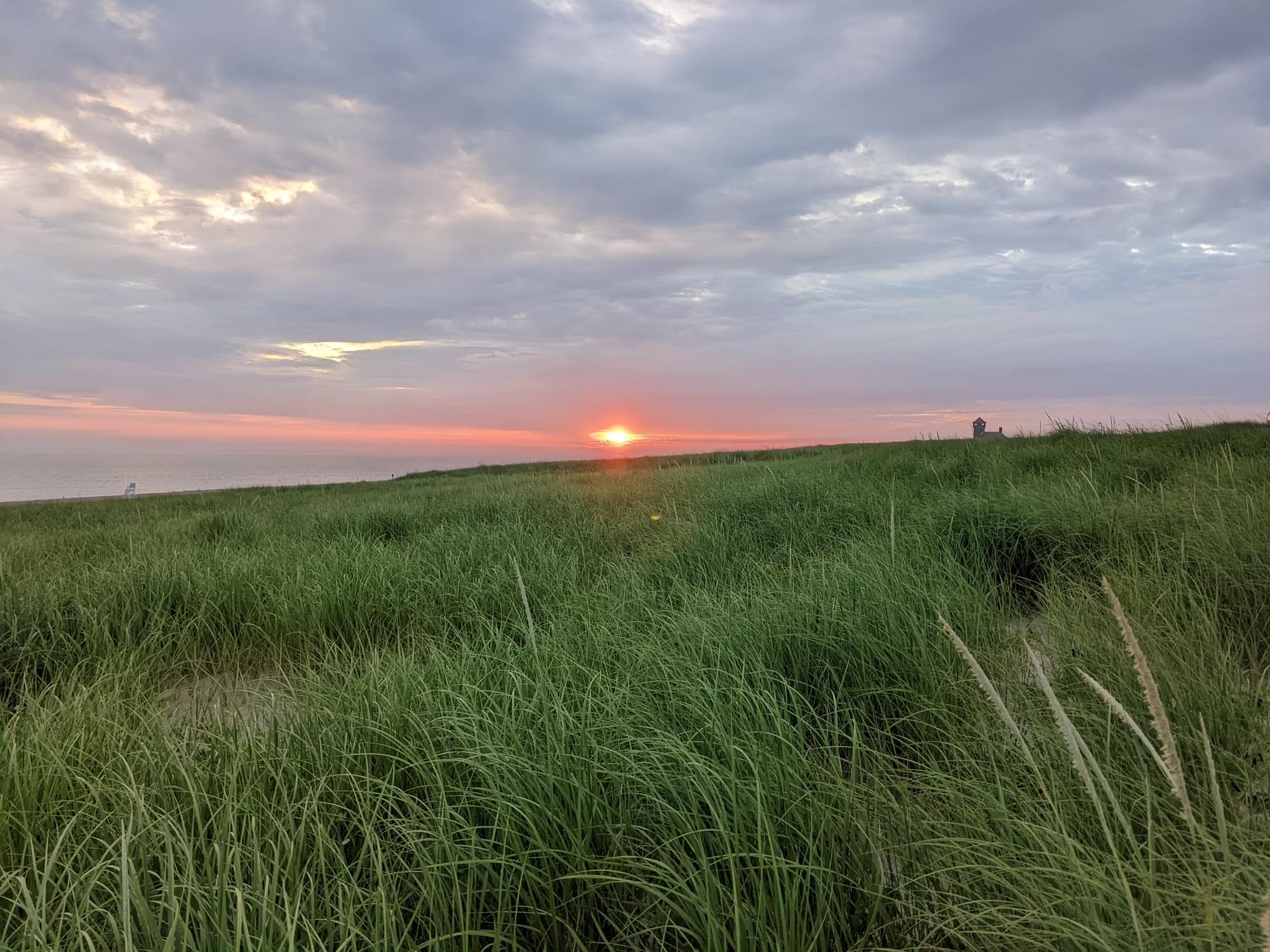
Race Point Beach is located at the end of Race Point Road, off of US-6 in Provincetown. The beach has seasonal restrooms, showers, and changing rooms, as well as the Old Harbor Life-Saving Station Museum, which showcases the history of the US Lifesaving Service. Race Point Beach is known for its deep water, strong currents, and abundant wildlife. Visitors can often see whales, seals, and sharks from the shore. The beach is popular for oversand driving, hiking, and watching sunsets.
Protected shorebirds typically nest and stage on this beach from late spring to fall. Note and follow any posted pedestrian or pet closures.
Use caution on bike trails, watch out for ticks and poison ivy, use caution when walking and do not damage beach grass.
About Cape Cod National Seashore
See all hotspots at Cape Cod National Seashore
Cape Cod is a large peninsula extending 60 miles into the Atlantic Ocean from the coast of Massachusetts. Located on the outer portion of the Cape, Cape Cod National Seashore’s 44,600 acres encompass a rich mosaic of marine, estuarine, freshwater, and terrestrial ecosystems. These systems and their associated habitats reflect the Cape’s glacial origin, dynamic natural processes, and at least 9,000 years of human activity. Geomorphic shoreline change, groundwater fluctuations, tidal dynamics including rising sea level, and atmospheric deposition are among the many physical processes that continue to shape the Seashore’s ecosystems. Marine and estuarine systems include beaches, sand spits, tidal flats, salt marshes, and soft-bottom benthos. Freshwater ecosystems include kettle ponds, vernal pools, sphagnum bogs, and swamps. Terrestrial systems include pitch pine and scrub oak forests, heathlands, dunes, and sandplain grasslands. Many of these habitats are globally uncommon and the species that occupy them are correspondingly rare.
Notable Trails
The AllTrails website has a description and map of a hike at Race Point.
Features
Restrooms on site
Entrance fee
Wheelchair accessible trail
Content from Official Website, Cape Cod National Seashore website, and Linus Blomqvist
Last updated December 21, 2023