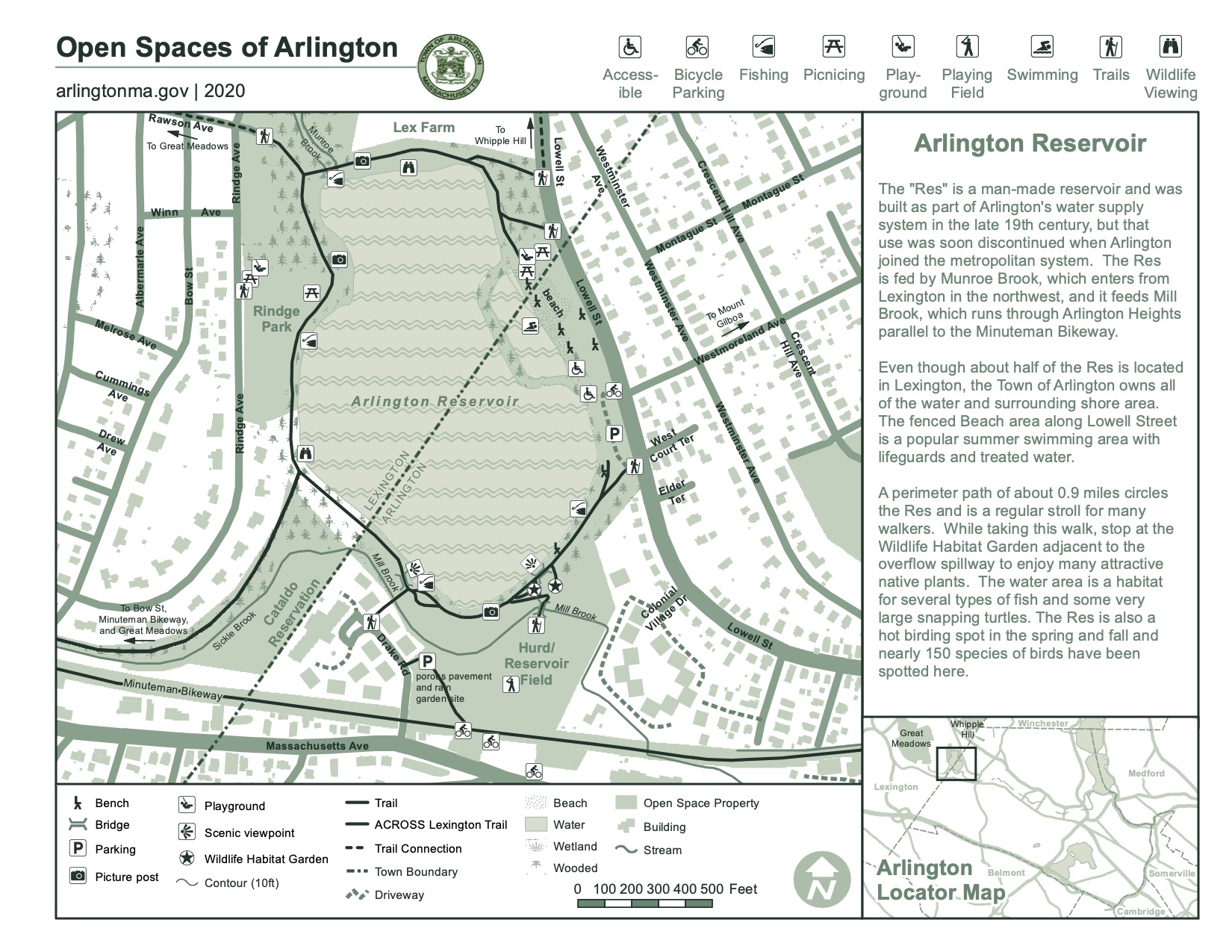
Arlington Reservoir
About this Location
The Arlington Reservoir was built in the 1870s as part of a municipal water supply system, but has served since the 1890s as a recreational area for walking, swimming, fishing, and boating. A perimeter path of almost a mile is enjoyed by walkers, joggers, and bird watchers throughout the year.
The total area of the Res and its shoreline is about 65 acres. Although all of the reservoir and adjacent land is owned by the Town of Arlington, about half of it is located in Lexington. The reservoir is part of the extensive watershed that connects Arlington’s Great Meadows in East Lexington to the Mystic Lakes and Mystic River via Mill Brook.
There is a fee for the use of the beach.
Features
Wheelchair accessible trail
Roadside viewing
Restrooms on site
Entrance fee
Content from Official Website
Last updated December 21, 2023