Picacho Peak SP
Tips for Birding
There is a small fee for entrance to the park.
Birds of Interest
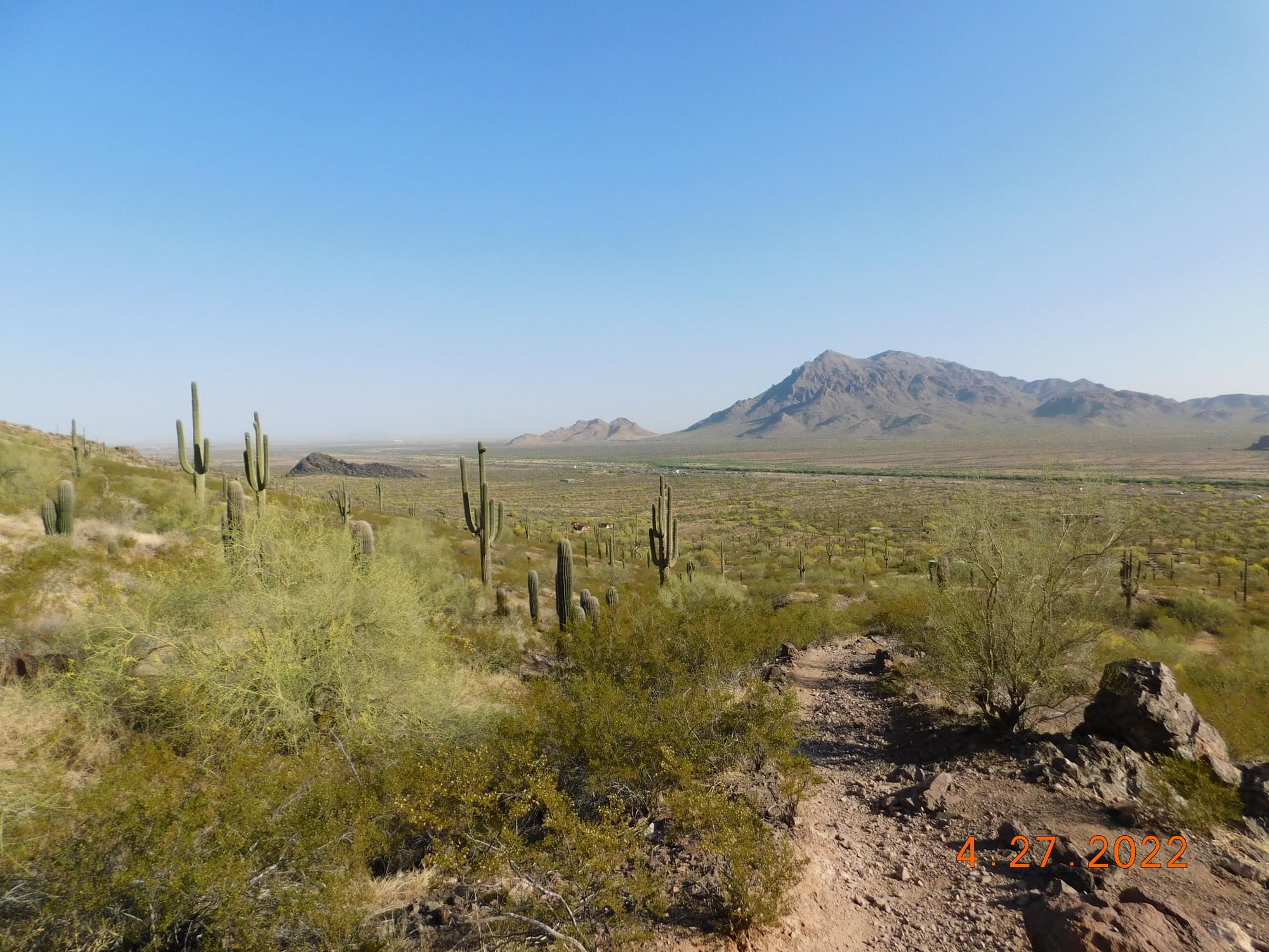
Picacho Peak State Park is home to a large variety of resident and migratory bird species. Abundant varieties include vultures, hawks, doves, owls, hummingbirds, woodpeckers, flycatchers, jays, wrens, sparrows, finches, warblers, and many more. Some of the most commonly seen species include Turkey Vulture, Red-tailed Hawk, Peregrine Falcon, Gambel's Quail, Mourning Dove, Gila Woodpecker, Gilded Flicker, Curve-billed Thrasher, Canyon Towhee, White-throated Swift, House Finch, Common Raven, Cactus Wren, and Costa’s Hummingbird.
About this Location
The unique shape of the 1,500-foot Picacho Peak has been used as a landmark by travelers since prehistoric times. One of the first recordings was in the 1700s by the Anza Expedition as it passed through the area.
In 1846, the Mormon Battalion constructed a wagon road through Picacho Pass. The forty-niners on their way to California used this road. In the late 1850s, the Butterfield Overland Stage was carrying passengers through this area. Picacho Peak’s most noted historic event occurred on April 15, 1862, when Confederate and Union scouting parties met in the Battle of Picacho Pass during the Civil War. This was the largest Civil War clash to take place in Arizona.
Picacho Peak is not a volcanic cone but is part of a volcanic flow that has been partially eroded away. It has long been known for its spring display of wildflowers. If rains come at the right times in the winter, the spring will bring an explosion of gold to the bajadas of the mountain that appear as a tapestry of color. The wildflowers are predominantly Mexican Gold Poppies.
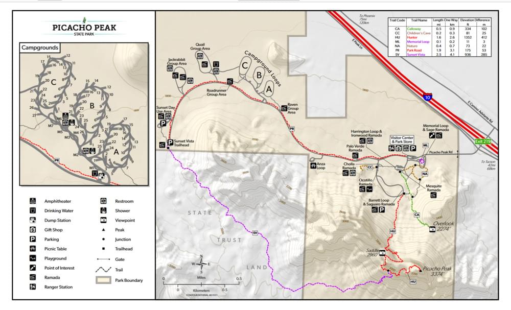
Notable Trails
Nature Trail
0.5 miles; easy; includes interpretive signs.
Children's Cave Trail
0.2 miles; easy; includes interpretive signs.
Calloway Trail
0.7 miles; moderate; leads to an overlook.
Sunset Vista Trail
3.1 miles; moderate first 2 miles, becoming difficult.
Travels on the south side from the westernmost parking area and goes to the top of the peak. The first 2 miles are moderate, then the route becomes difficult, steep, and twisting, with steel cables (gloves are recommended) anchored into the rock in places where the surface is bare. This trail is not recommended during hot weather seasons.
Hunter Trail
2.0 miles; difficult.
Begins on the north side from Barrett Loop and goes to the top of the peak. The trail climbs a resistant path typical of the Sonoran desert. The route is steep and twisting, with steel cables (gloves are recommended) anchored into the rock in places where the surface is bare.
The AllTrails website has descriptions and maps of hikes at Picacho Peak State Park.
Features
Restrooms on site
Entrance fee
Wheelchair accessible trail
Content from Official Website and Noah Henkenius
Last updated February 12, 2024