Honey Creek CA
About this Location
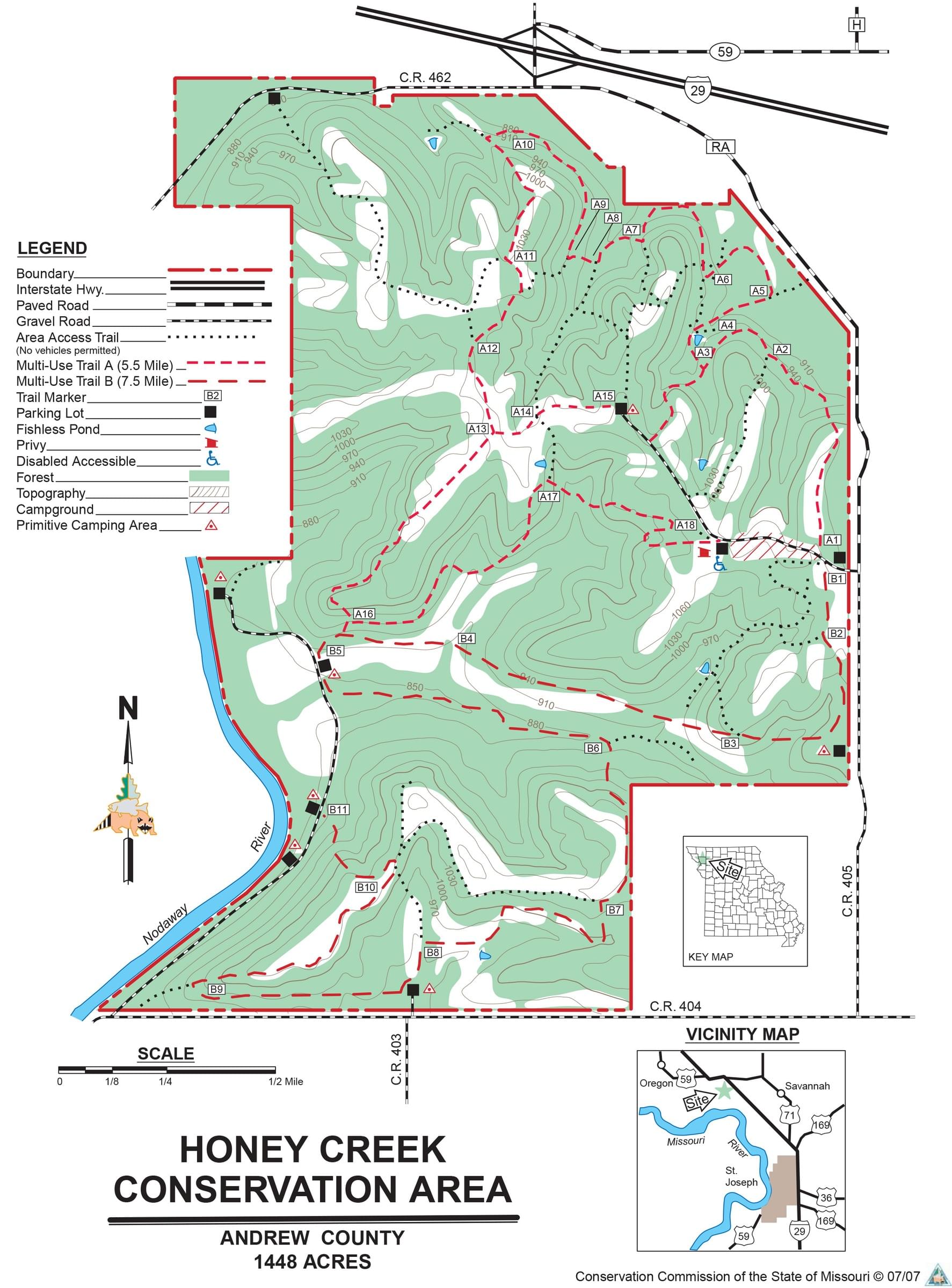
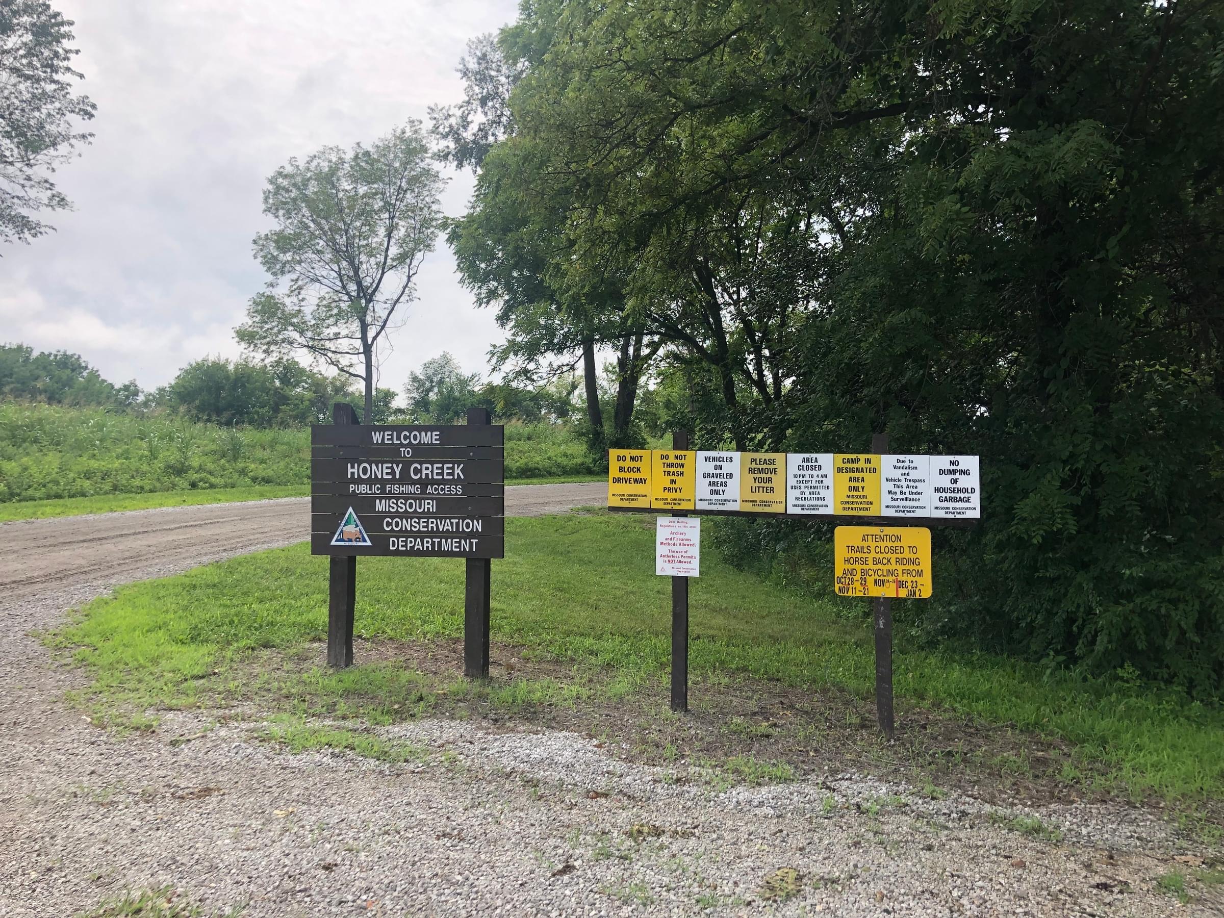
Honey Creek Conservation Area is a 1,448-acre Missouri Department of Conservation property in the Rolling Loess Prairies ecoregion. It borders the Nodaway River on the west and Honey Creek on the north. The loess hills rise as high as 200 feet above the river and are forested. Along the ridges and in the stream valleys are agricultural areas providing open lands. The east entrance road to the area at the end of State Route RA (N39o57'6" W94o57'53") provides access to open lands along a ridge, trails, and campsites. The south entrance road on County Road 404 (N39o56'19" W94o59'44") provides access to campsites and open lands along the Nodaway River. Other entrances are on County Road 462 (old US Route 59, N39o58'3" W94o59'17") on the north side of the area and at the junction of County Roads 403 and 404 (N39o56'18" W94o59'0") on the south side.
Notable Trails
Two marked multi-use trails (Trails A and B) provide loops off the east entrance road, south entrance road, and the entrance at the junction of County Routes 403 and 404. Trail A is 5.5 miles and Trail B is 7.5 miles. Other access trails provide connections to these trails and allow shorter loops.
Features
Restrooms on site
Roadside viewing
Wheelchair accessible trail
Entrance fee
Content from Harold Draper
Last updated August 19, 2023