Cone Peak
Tips for Birding
Cone Peak Road and trails currently (2023) closed from fire and storm damage.
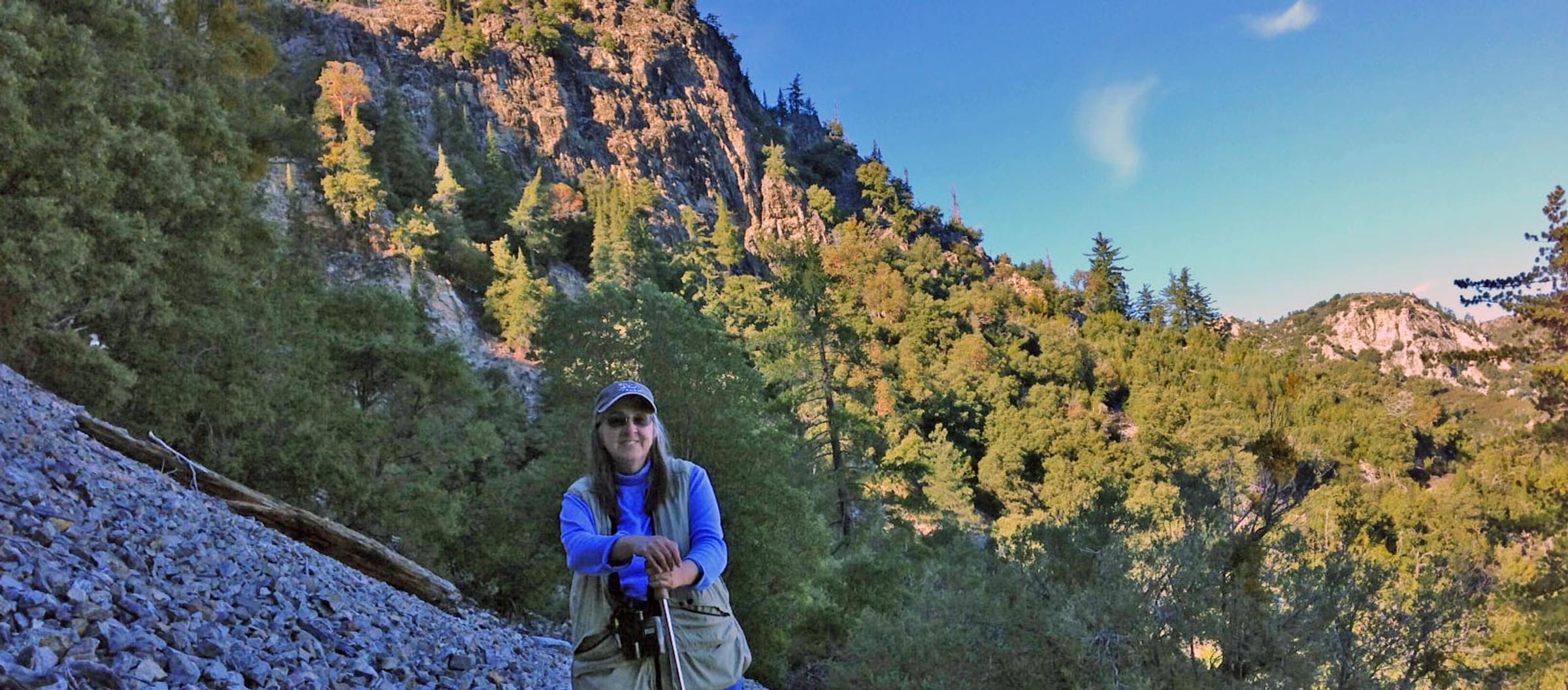
Destructive fires have long been part of the Ventana Wilderness and Cone Peak vicinity. In 1977, the Marble Cone fire burned ~178,000 acres from Chews Ridge to Cone Peak. Birders began visiting Cone Peak and the North Coast Ridge Trail north to about Cook Camp, where there was a stand of Sugar Pines, in the 1980s. A Breeding Bird Atlaser discovered a small group of Mountain Chickadees likely breeding in those Sugar Pines in summer 1991. In the 1990s and into the 21st century, a few Mountain Chickadees were found to be resident from about the North Coast Ridge Trail trailhead north to the ridge about Cook Camp. [Cook Camp is at 4400' elevation at 36.07760, -121.49133. The Sugar Pines are higher on the ridge, at about 4800' elevation, estimated from maps at about 36.0751, -121.4949]. Mountain Chickadees were recorded above Cook Camp until 2003, but another was found along the Gamboa Trail a couple miles away in 2015. In summer 2008, the Dolan Fire burned ~125,000 acres, over much of the same area as the Marble Cone Fire, but that fire did not affect the ridge north of Cone Peak. However, the larger Basin-Indians Fire in summer 2020 burned ~240,000 acres and the entire Los Padres National Forest in this area has been closed. Storms thereafter caused further damage by mudslides. Since then, the whole vicinity and Cone Peak Road has been closed. No birders have been near Cone Peak since 2020, and there is no word when anything will reopen. In the interim, many of the trails may have grown over as well, perhaps limiting access for years in the future.
Features
Restrooms on site
Wheelchair accessible trail
Entrance fee
Roadside viewing
Content from Don Roberson
Last updated March 31, 2023