Roosevelt Lake--Schoolhouse CG
Roosevelt Lake--Schoolhouse CG
Tonto National Forest Tonto Basin, Arizona 85553
Official WebsiteSchoolhouse Point map
Roosevelt Lake Official Website
Roosevelt Lake map
About this Location
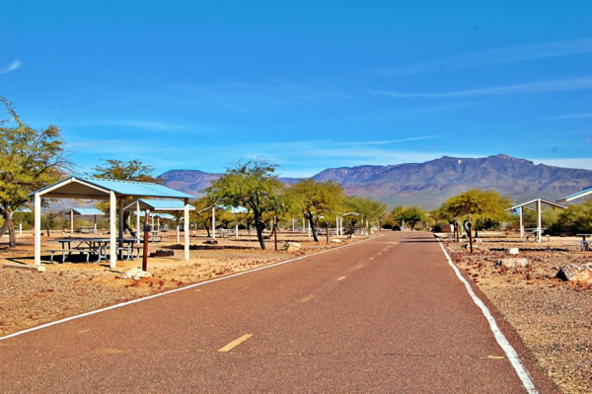
Located on central Arizona’s largest lake. This site is also a river access point (RAP) on the Upper Salt River. There are 211 camp units w/ shade ramadas, fire rings with grills, picnic tables, amphitheater, and water hydrants.
This site is located 11 miles south of the historic Roosevelt Dam. From Mesa: Take the AZ-87 (Beeline Highway) north for about 60 miles to the junction with AZ-88. Continue on AZ-88 south for 8 miles to Forest Road (FR) 447 (Schoolhouse Recreation Site). Turn left and continue for 4 miles to the site.
From Globe: area: Take AZ-188 north for 20 miles to its junction with Forest Road (FR) 447 (Schoolhouse Recreation Site), turn right, and continue for 4 miles to the site.
About Roosevelt Lake
See all hotspots at Roosevelt Lake
Migratory waterfowl (including Canada geese) and raptors (including bald eagles and osprey) use the lake during the fall and winter. Small isolated islands and coves offer outstanding opportunities for camping and relaxing in the unique Sonoran Desert.
From Mesa: Take AZ-87 (Beeline Highway) north for about 60 miles to the junction of AZ-188. Turn right and follow AZ-188 for 26 miles to the lake. The entire route is paved.
From Globe area: Take AZ-188 northwest 27 miles to the lake. The entire route is paved.
Content from Official Website and Roosevelt Lake Official Website
