Blackford Oaks WMA
Tips for Birding
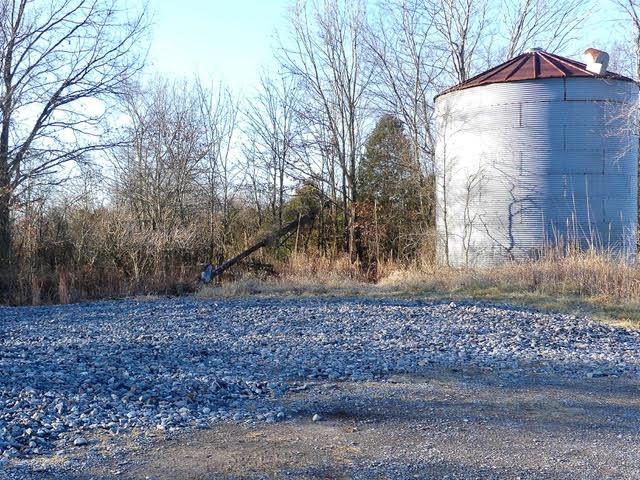
Little is known at this early point in the WMA's existence. There is a two-track road that goes into the property, and one hopes that as it's explored and mapped, more can be said here. It's a young, mixed oak forest that are starting to produce acorns. The press release mentions winter flooding along the Tradewater River will increase waterfowl habitat.
Birds of Interest
TBD
About this Location
The property has two parking areas but does not have boat ramps or interior roads. Parking is at the north end of the property, which extends to the south where it reached the Tradewater River.
For boat-in access, there is one ramp two miles downstream of the WMA, off KY 132 (Fishtrap Bridge), and a second ramp located 2.6 miles upstream of the WMA, off KY 120 (Montezuma Bridge). Boundaries of the new WMA are marked by yellow paint.
Notable Trails
The two-track road is accessed via the western parking area off Brantley Lane. This road is yet to be explored and mapped fully.
Features
Restrooms on site
Wheelchair accessible trail
Entrance fee
Roadside viewing
Content from Blackford Oaks WMA map
Last updated January 16, 2024
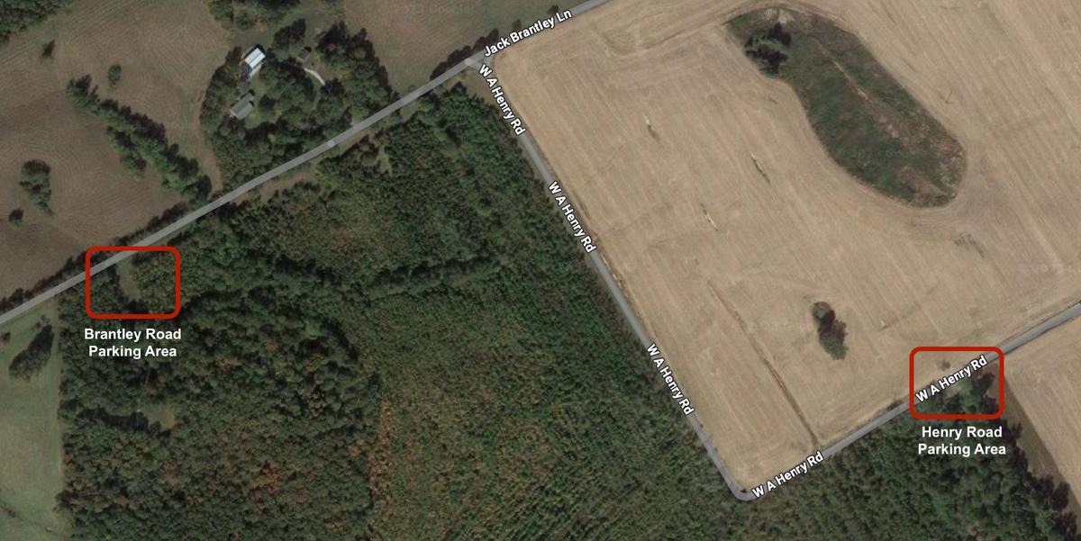 Parking Areas
James Wheat