Stafford Hill WMA
Stafford Hill WMA
Cheshire, Massachusetts 01225
Official WebsiteStafford Hill Wildlife Management Area map
Tips for Birding
This hotspot can either be birded via roadside or by parking and walking on the unofficial trails. If attempting to bird from roadside, just be cautious of where you stop as Stafford Hill Road is narrow and cars need to be able to get by.
About this Location
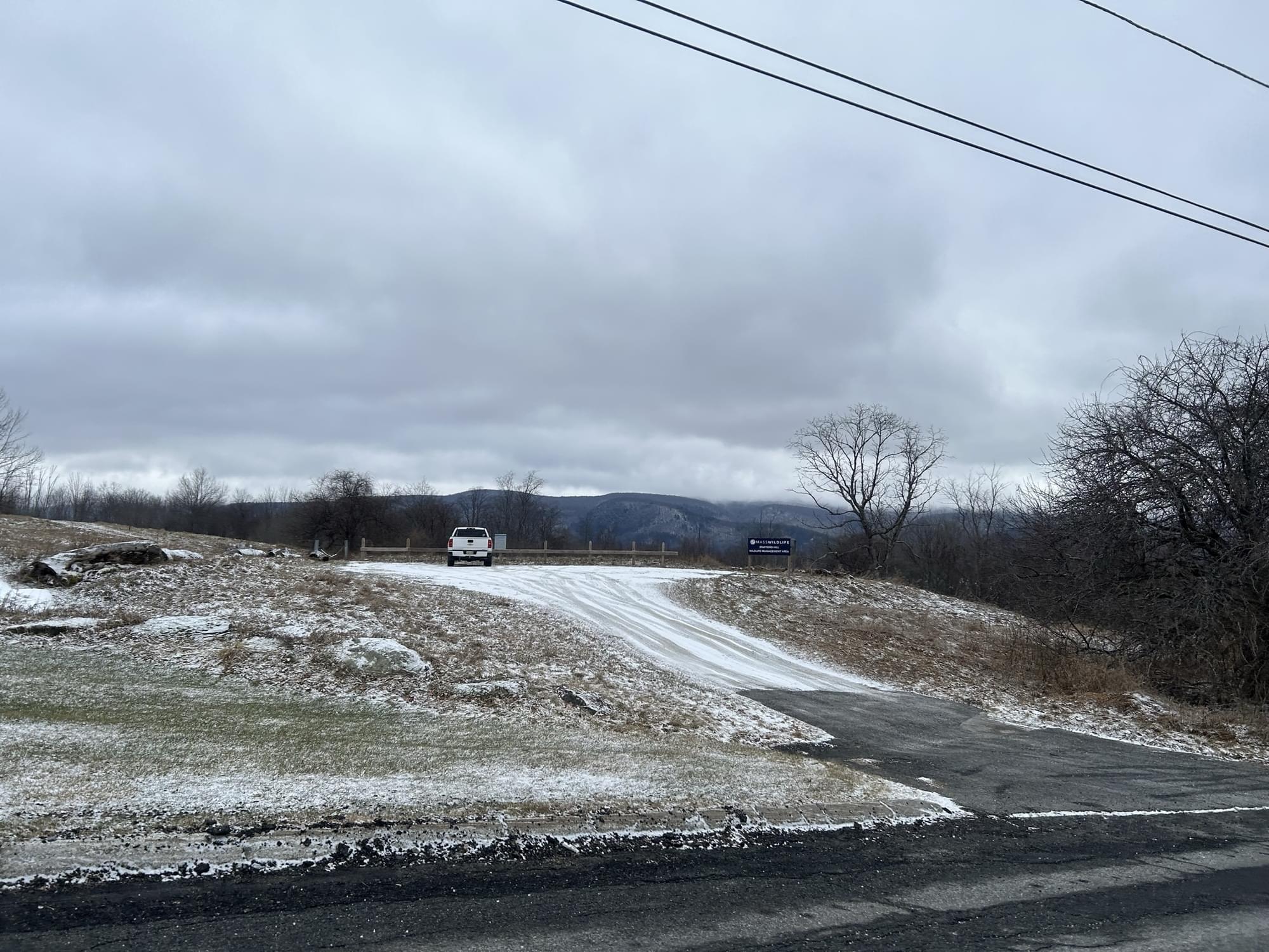
Stafford Hill Wildlife Management Area consists predominantly of old pastureland with transitional hardwood forest. Historically, the area was an old farm and still contains numerous apple trees throughout as well as agricultural fields that are currently being farmed on Jenks Road. The mixed northern hardwood and softwood forests cover the majority of the upland areas, but there are some steeply sloping fields. Slopes vary from gentle to steep, but there are some nearly flat hilltop areas, as well as a parcel of river bottomland on the South Branch of the Hoosac River accessed from North State Road in Cheshire. The Ashuwillticook Rail Trail runs through the western parcel of the WMA. Elevation ranges from 950 to 1,930 feet.
There are three parking areas on Stafford Hill Road in Cheshire: one on the northern parcel and two on the southern parcel. There is a town pull-off on Wells Road on the western parcel.
Features
Roadside viewing
Restrooms on site
Wheelchair accessible trail
Entrance fee
Content from Official Website and Noah Henkenius
Last updated March 14, 2023