Bog Road, Enfield--Cole Pond Trailhead
About this Location
Bog Road runs from Washburn Corner and McDaniels Marsh in Springfield north to Enfield Center, and a large, wooden Fish and Game Department sign marks the trailhead to the pond.
About Bog Road, Enfield
See all hotspots at Bog Road, Enfield
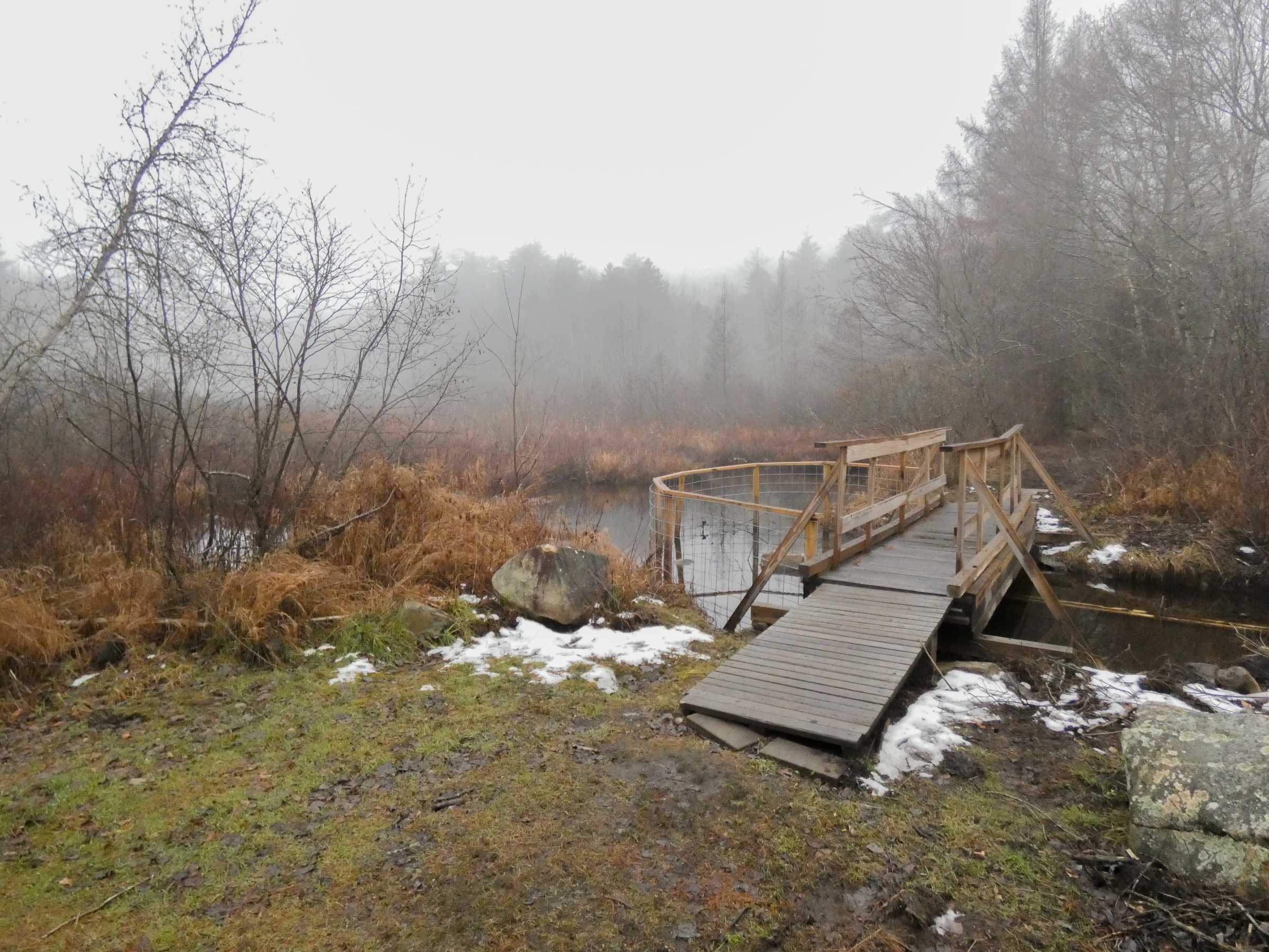
Bog Road is several miles long, much of it bordered by marsh and shrubs, with some woodlands. A few houses in the middle and gravel pit operations are posted for no trespassing. A high ridge along much of the western border. Cole Pond Trail, about 1 mile long and located about a mile south of George Pond, and Bear Road for a short distance from its junction with Bog Road, .6 mile south of Cole Pond, are both worth birding as well.
At the end of Bog Road, you come to McDaniel’s Marsh Wildlife Management Area, which is in Springfield. You can only see a small portion, so a canoe or kayak opens up lots of possibilities.
From I-89 exit 17 east of Lebanon, and go east on US-4 for about 1.75 miles. Turn right on NH-4A and go along the south shore of Mascoma Lake for about 4 miles and through the village of Enfield Center to Bog Road on the right, just before a George Pond, only a small portion of which is visible at the Bog Road intersection.
Features
Restrooms on site
Wheelchair accessible trail
Entrance fee
Content from Official Website
Last updated November 8, 2023