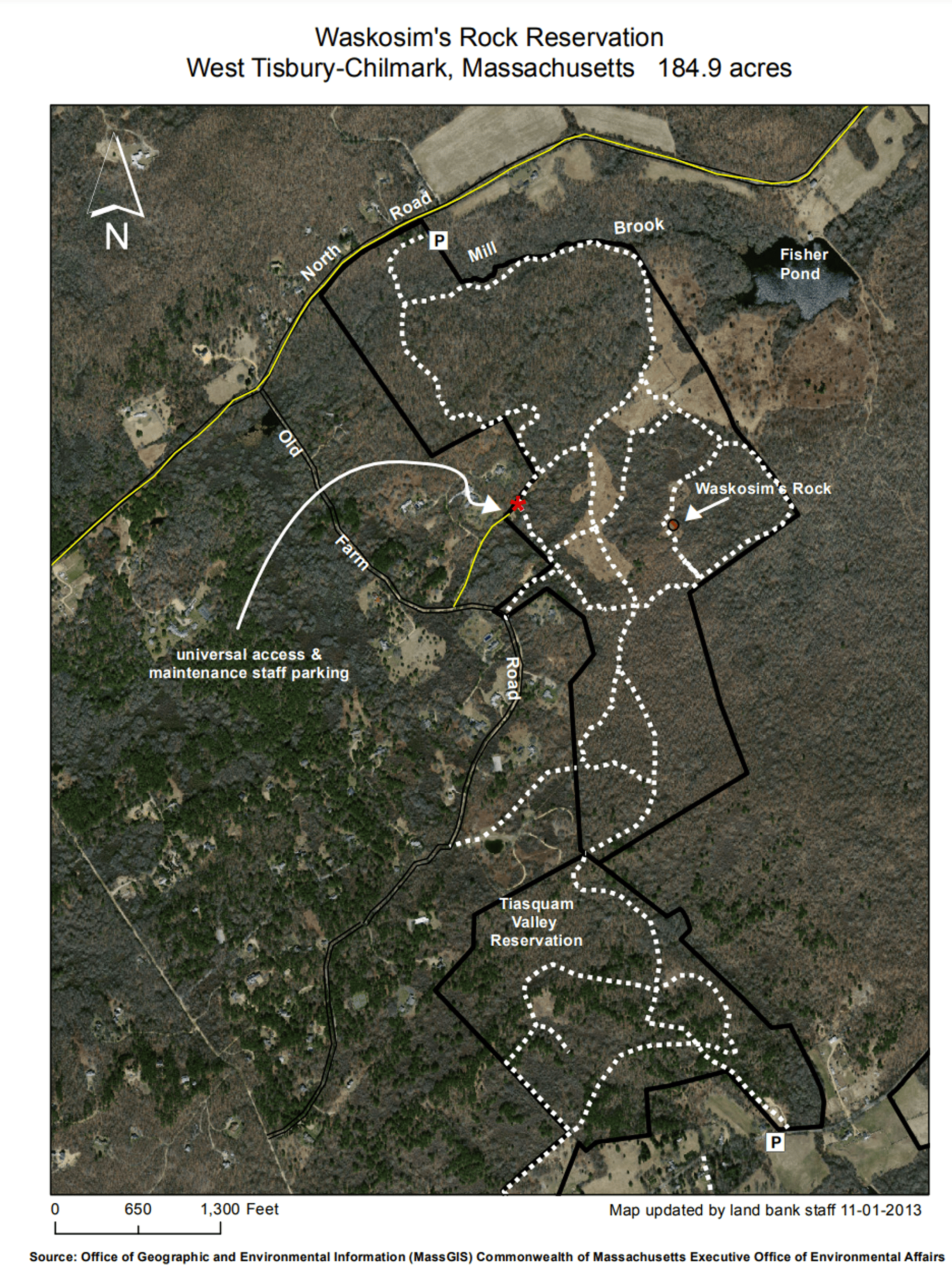
Waskosim's Rock Reservation
About this Location
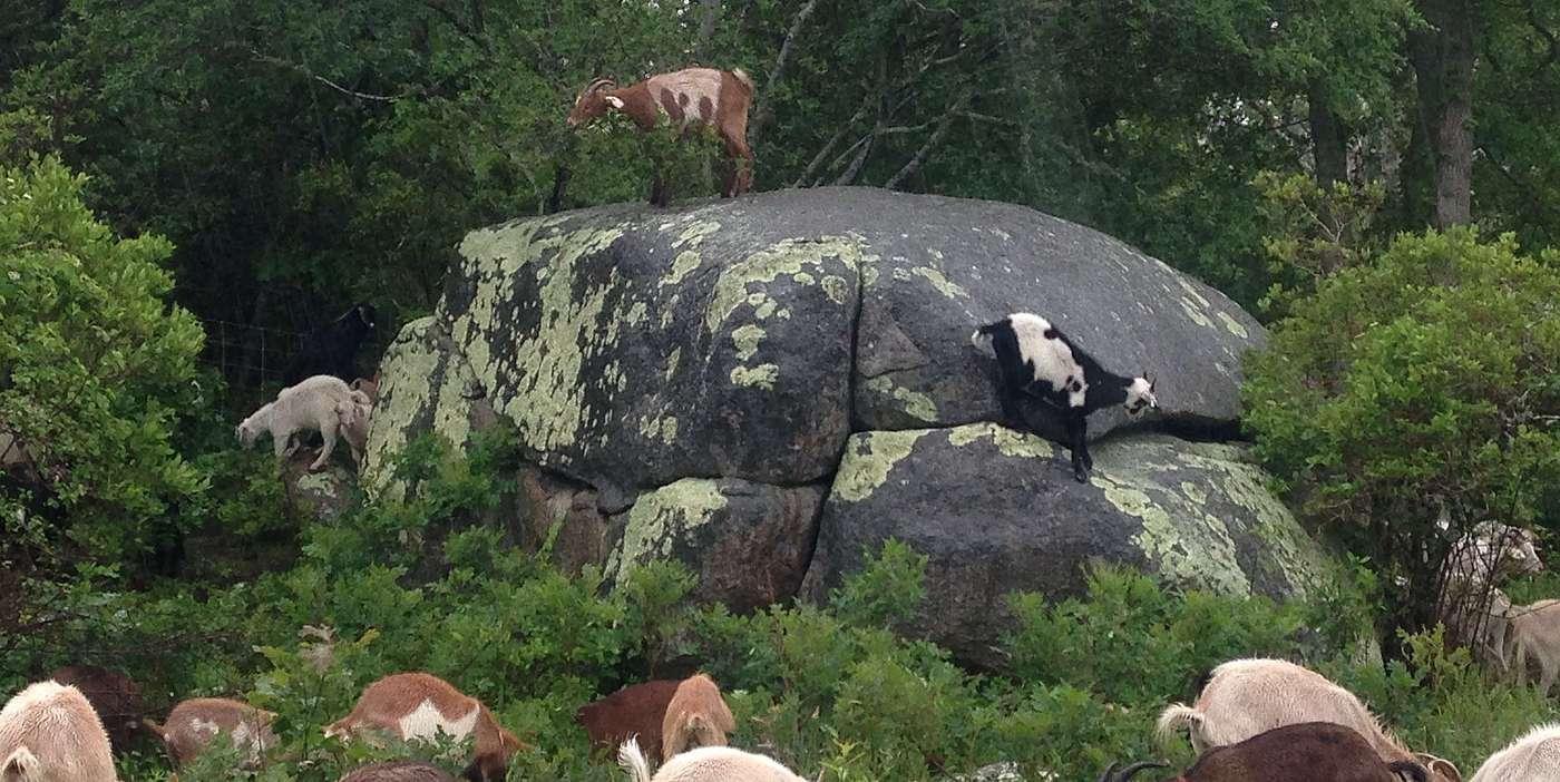
There is much variety at Waskosim’s Rock Reservation: woodlands in the reservation’s southerly end segue into open fields, some high and some low, in the middle tier, and these, finally, segue into deeply shaded wetlands along the Mill Brook at the northerly end. Remnants of the 17th-century homestead of James Allen, the first patentee of Tisbury, are found in the fields: a capstone over an abandoned well, a cellar hole, stone stairs, and a paddock, all in various states of desuetude. Eerily perched atop one of the ridges is the Waskosim’s Rock itself, a boulder whose shape and location have long figured in Wampanoag and more recent island history. The rock marked the beginning of the “Middle Line,” a stone wall boundary running to the Menemsha Pond to separate English and Wampanoag lands in the mid-1600s.
Waskosim's Rock Reservation consists of fields and forested wetlands. Access and parking for the reservation is available off of North Road.
Features
Restrooms on site
Wheelchair accessible trail
Entrance fee
Content from Official Website
Last updated March 24, 2024
 Martha's Vineyard Land Bank