Monkey Mountain Park Reserve
Monkey Mountain Park Reserve
Tips for Birding
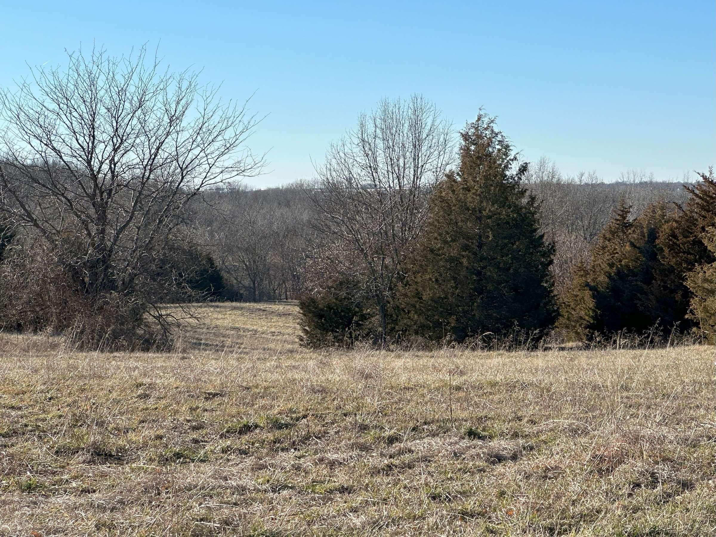
Bird along Sni-A-Bar Creek look for small wetland areas. Hike the old growth woodlands. Approach the prairies from the northeast.
Birds of Interest
Piliated woodpecker, other species-- large variety possible especially during migration, good for warblers and flycatchers.
About this Location
Located east of Oak Grove, Missouri between East Old US 40 Highway on the north and East R.D. Mize Road on the south. Sni-A-Bar Creek runs down the west side of the area. Used often for cross-country running, with one of the most challenging courses in the area. Two of the highest points in Jackson County are in the reserve, Monkey Mountain and Sni-A-Bar Hill both at 289 m. (948 ft) second only to Rattlesnake Hill at at 306 m. (1004 ft.) 5 miles south, all natural landscape. The highest point in Jackson County is now Bowers Hill a refuge dump south of Lee's Summit at 330 m.(1083 ft.) growing every day. Two parking areas are available. One on the northeast corner of the area adjacent to Grain Valley's park, "Monkey Mountain Sports Complex", the other on the south side of the area on R.D. Mize Road. While the area doesn't have restrooms, the "Monkey Mountain Sports Complex" on the northeast corner does. The trails, some times challenging, have a large variety of habitat niches with old-growth woodland, prairie, and wetland spots. The area is usually quiet and often you will not see anyone while hiking.
Notable Trails
Trails along Sni-A-Bar Creek and prairie areas.
Features
Restrooms on site
Wheelchair accessible trail
Entrance fee
Roadside viewing
Content from Mike Beck
Last updated February 19, 2024