Rio Grande River Bottom near Calle del Norte
Tips for Birding
This hotspot is generally agreed to cover the section of the Rio Grande between Calle del Norte and the I-10 overpass. Effluent treated water enters the normally dry riverbed immediately north of the overpass and flows south until reaching Melilla Valley Bosque State Park, where it dries up. The La Llorona multi-use path follows the east bank of the river here, providing excellent opportunities to view waterfowl, shorebirds, and waders in the river. It is worth noting that two other hotspots may be used to cover parts of this general area: La Llorona Park, a tiny park along Picacho Ave which offers access to the same walking path from the north, and Laus Cruces--Treatment Water Canal South to I-10 (Rio Grande), which covers the very short stretch of riverbed between I-10 and the spot immediately north where the treated water enters the river.
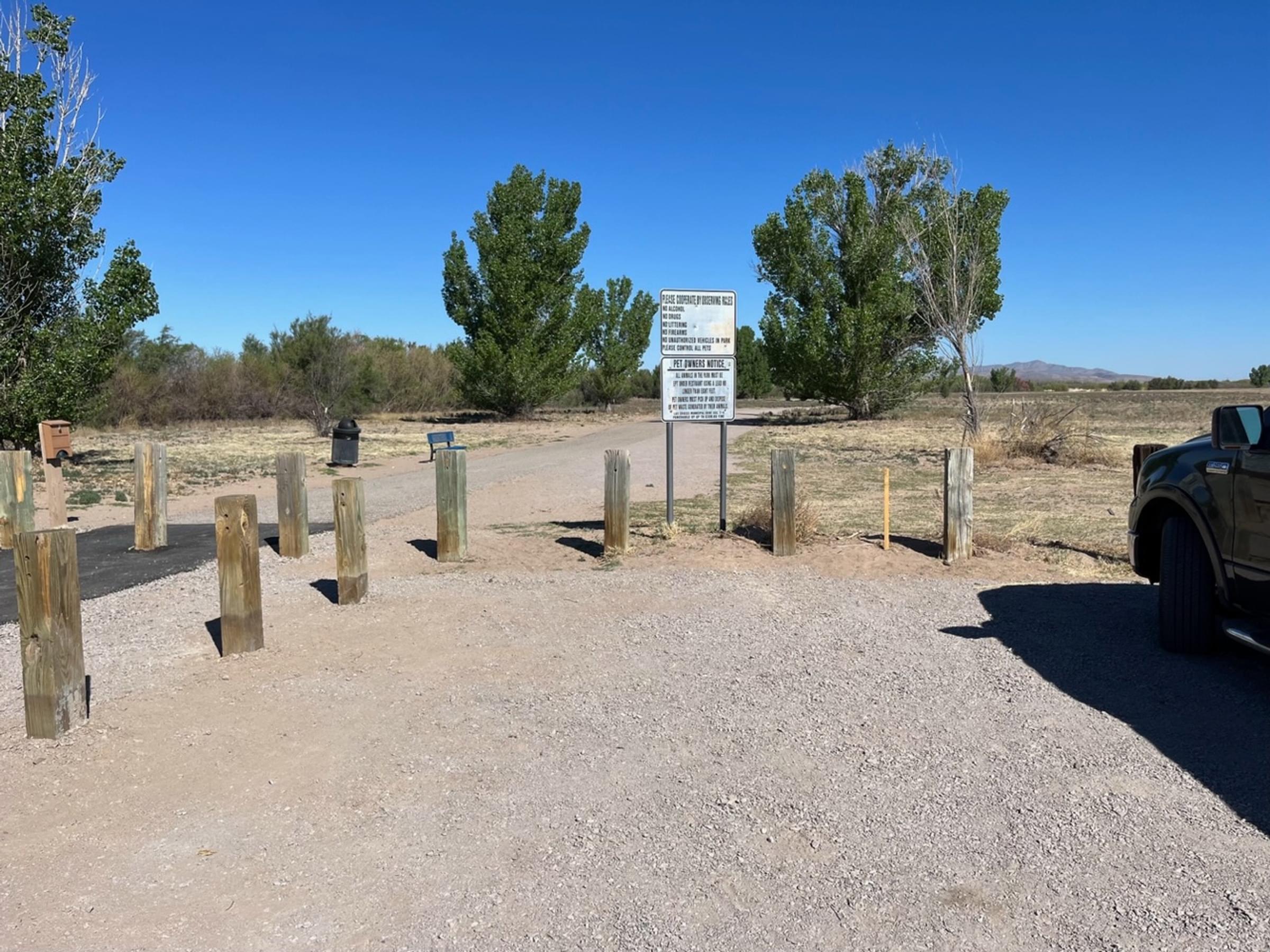
To access the paved path along the river, park in the dirt lot along Calle del Norte across from the entrance to Mesilla Valley Bosque State Park. The path is open from 5:00 am to 11:00 pm every day. No fee is required.
The path offers periodic views into the riverbed, where a small flow of effluent-treated water attracts a variety of birds in the fall and the spring. Huge numbers of waterfowl, mostly dabbling ducks, frequent this area in winter. The best birding is generally in the immediate vicinity of the water outflow near the I-10 overpass, a 1.9-mile walk (one-way) north of the Calle del Norte parking area. Herons and egrets, White-faced Ibis, and a variety of shorebirds may frequent this area in migration. Migrant passerines may be seen in the dense willows bordering the river, or in the cottonwood trees on the east side of the path. The strip of land between the riverside path and the levee to the east is kept open and mowed; it may attract Western Meadowlarks, Loggerhead Shrikes, and a variety of raptors (including Ferruginous Hawks) in winter. Summer provides few birds, as this is when irrigation water is released down the Rio Grande from reservoirs farther north, turning the river into a deep and fast-flowing channel that is of little value to wildlife.
About this Location
Getting down to the hotspot parking area can be a bit confusing, given the International Boundary & Water Commission sign on the north side of NM-359, right before the bridge as you travel west. That sign reads "Motorized Traffic Prohibited", "All Prohibited Uses Are Considered Trespass", and "Enter at Your Own Risk". The IBWC is asking you not drive the hundred yards on the hard-packed, nicely graveled levee road before turning west down slope to the parking area. Strictly, you should instead thread your way between the bollarded bike path and the levee road, heading down the soft, silty road below the levee. The fact that almost all visitors do use the levee road doesn't make it legal, and you should never park on the levee.
Notable Trails
The TrailLink website has a description and map of a hike on the La Llorona Multi-Use Path, for which there is a trailhead off Calle del Norte (NM-539), north of the bridge and east of the river, and which runs north from the hotspot map pin.
Features
Wheelchair accessible trail
Restrooms on site
Entrance fee
Roadside viewing
Content from Joel Gilb and John Montgomery
Last updated April 14, 2023