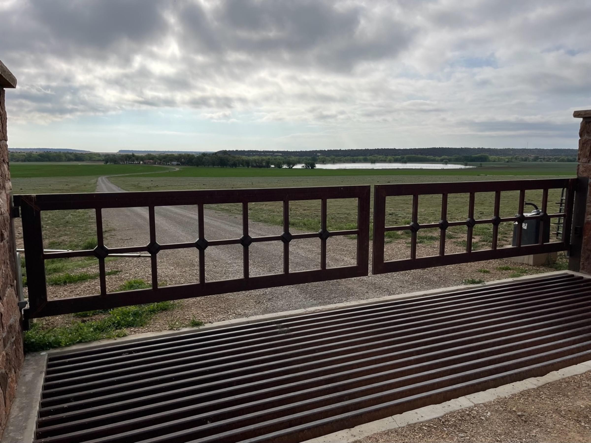
NM-161 along Phoenix Irrigation Lake

About this Location
Phoenix Lake, about 40 acres when full, appears to not have been as severely affected by the ongoing drought as many bodies of water in New Mexico. It stores irrigation water and is part of a private ranch; there is no public access to the lake.
The lake is located east of NM-161 and west of both I-25 and the town of Watrous. The center of the lake is more than half a mile from its nearest point on NM-161, and pull-outs on this road are few, making identification of species on the lake a challenge. Although closer to I-25, viewing the lake is difficult from the Interstate, and the hotspot is named for observing from NM-161, with the hotspot map pin located at the paving-materials operation about 0.75 miles on NM-161 from where it crosses under I-25 View Map.
The hotspot can be thought of as stretching up NM-161 from the west side of I-25 to the Phoenix Ranch entrance, and to where County Road C017 joins NM-161 from the northeast (with Watrous Cemetery on the west), which is where the elevation quickly rises and irrigated pastureland gives way to juniper woodland (a total distance of about 2.3 miles). The hotspot, one of the top ten in the county measured by the number of species recorded, includes the Sapello River crossing on NM-161, which you make almost immediately after passing underneath the Interstate. Birders are encouraged to put in their checklist comments where they birded from and to along the state road.
Features
Roadside viewing
Restrooms on site
Wheelchair accessible trail
Entrance fee
Content from John Montgomery
Last updated June 3, 2023