Superstition Mountains--Peralta Canyon
Superstition Mountains--Peralta Canyon
Tonto National Forest Gold Canyon, Arizona 85118
Tonto National Forest Official WebsiteTonto National Forest maps
About this Location
Drive east on US-60 (approximately 8.5 miles past Apache Junction) to the Peralta Road 77 turnoff. The Trailhead is about 8 miles north on this road.
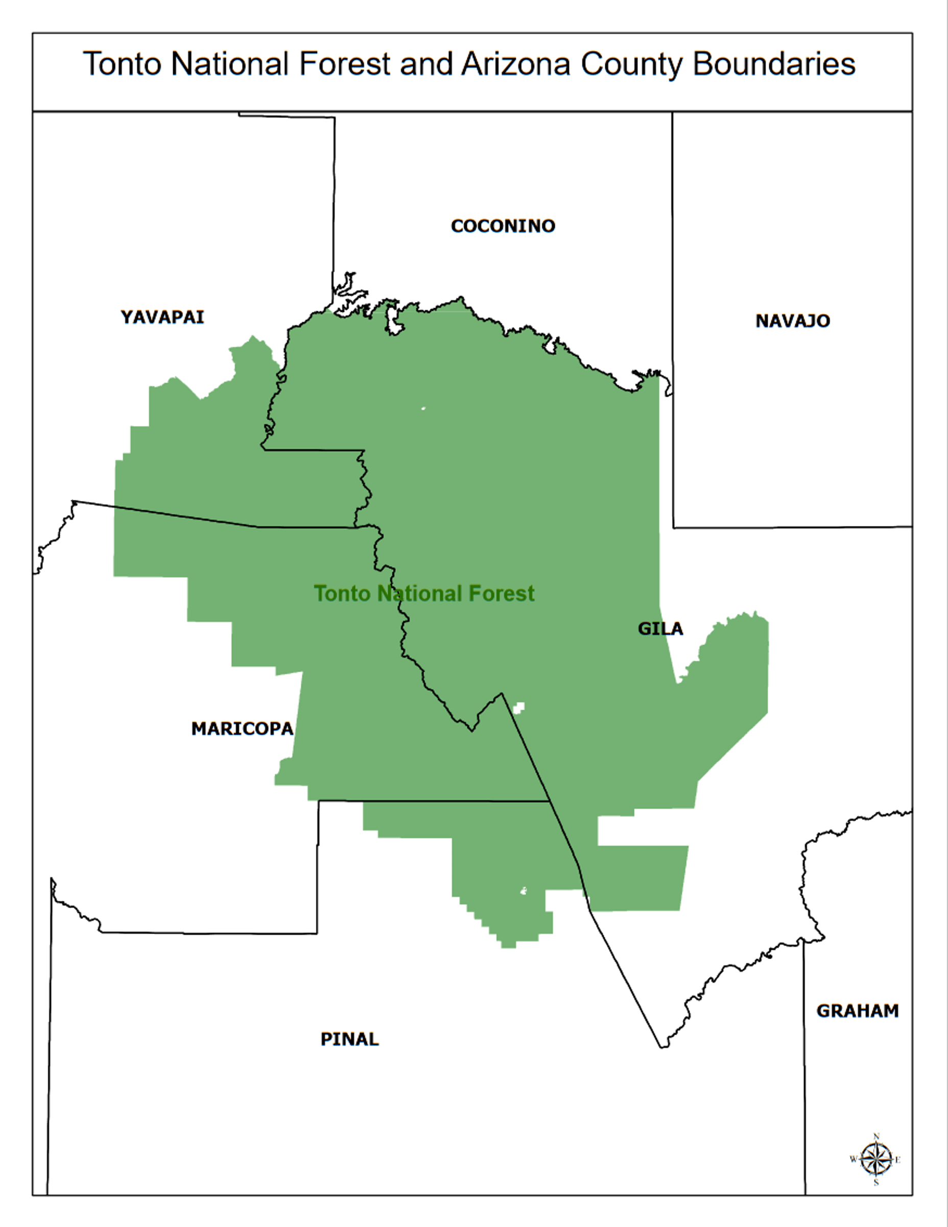
About Tonto National Forest
See all hotspots at Tonto National Forest
The Tonto National Forest features some of the country's most rugged and inherently beautiful lands. With nearly 600,000 acres of wilderness, there's a place for you to escape the rigors of modern society.
Sonoran Desert cacti and flat lands slowly give way to the highlands of the Mogollon Rim. This variety in vegetation and range in altitude, from 1,300 to 7,900 feet, offers outstanding recreational opportunities throughout the year, whether it's lake beaches or cool pine forests.
Eight lush wilderness areas, scenic flowing rivers, the Mogollon Rim's 200 miles of beauty, and some of the best trails in the country.
Notable Trails
The Outdoor Projects website has a description and map of a hike at Peralta Canyon.
The Peralta Canyon Trail is one of the most popular hikes in the Superstition Wilderness outside of Phoenix, and for good reason. This hike is one of the gateways into the 160,000-acre wilderness just an hour's drive from Phoenix and offers spectacular scenery and a moderate difficulty for the day hiker. The parking lot can be pretty full on a weekday in the high season (winter and spring), and you are guaranteed to be part of a large crowd of hikers if you visit on a weekend. This hike is not to be missed for it's scenic value and the satisfaction of reaching "the saddle" for spectacular views of the Weaver's Needle formation and the Superstition Wilderness beyond.
Content from Tonto National Forest Official Website
Last updated July 23, 2023