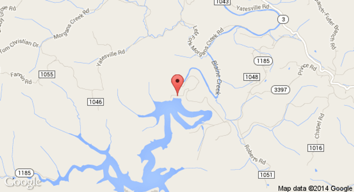
Yatesville Lake WMA--Cherokee/Irish Creek Units
Tips for Birding
Bird the Cherokee-Irish Creek Road and Irish Creek Road within the Wildlife Management Area. Species of interest may be found throughout the year.
About this Location
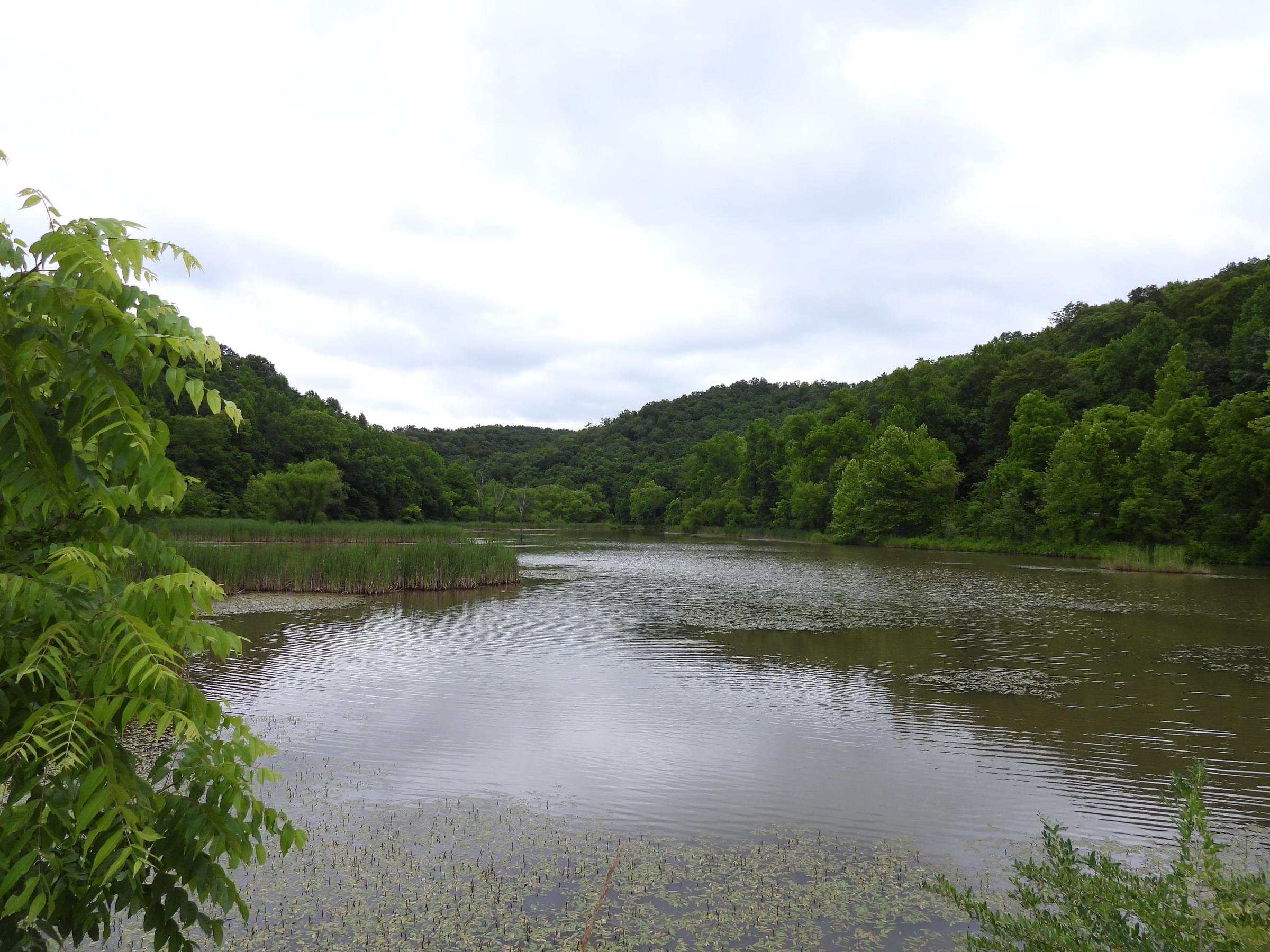
Hilly, wooded terrain with fairly broad bottoms. Primarily hardwood forest with significant wetlands, openings.
About Yatesville Lake
See all hotspots at Yatesville Lake
Yatesville Lake is a reservoir in Lawrence County, Kentucky in the far eastern part of the state, close to the town of Louisa.
The earthen dam was constructed in 1988 by the United States Army Corps of Engineers, with a height of 156 feet, and a length of 855 feet at its crest. It impounds Blaine Creek, a tributary of the Big Sandy River, for flood Control and storm water management. The dam is owned and operated by the Huntington District, Great Lakes and Ohio River Division, Army Corps of Engineers.
The serpentine reservoir it creates, Yatesville Lake, has a normal water surface of 3.5 square miles, a maximum capacity of 83,300 acre-feet, and a normal capacity of 63,000 acre-feet. The maximum depth of the lake is 60 feet with an average mean depth of 17.7 feet. The shoreline measures 93.9 miles at summer pool level. Recreation includes fishing, hiking, and an 18-hole golf course at the Yatesville Lake State Park.
Features
Roadside viewing
Restrooms on site
Wheelchair accessible trail
Entrance fee
Content from Wikipedia
Last updated July 1, 2023