Peterborough--Trent University Total Loss Farm Nature Area
About this Location
Content from Official Website:
Location and Use
The Total Loss Farm Nature Area is located in the northwest corner of Symons Campus, Trent University, west of Highway 29 and north of Woodland Drive, with farm fields (outside of Trent property) bounding the north and west sides of the Nature Area. In addition to that corner of Trent University property, it follows a stream that drains the area down to the highway.
Physical Description
The northern section of this Nature Area extends along the southeast slope of a long ridge, and in the narrow lowland at the slope base. Between the north and south sections is a gently sloping upland, with the southern section occupying a narrow flood plain valley lining the banks of a small, permanent stream, which eventually feeds into the Lock 22 Nature Area.
Ecosystems and Species
There is a wide variety of ecosystems in this Nature Area, from a Red Pine conifer plantation to mixed and deciduous woodlands (mainly sugar maple, ash, birch, and cedar), to swamp.
Environmental Concerns
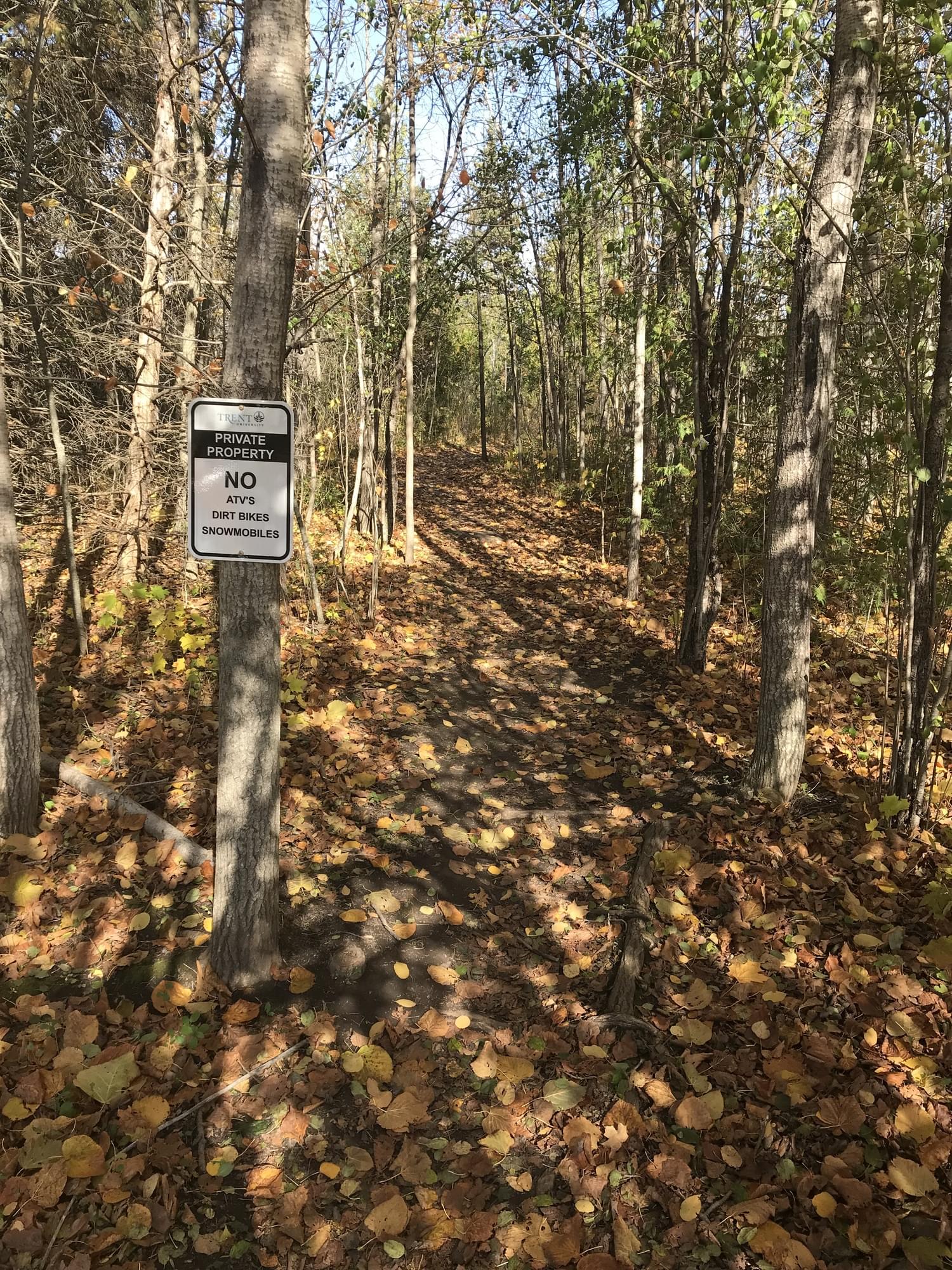
There is some damage to soil and vegetation from motorized vehicle use, as well as some garbage found on site in the past. As well there are several introduced garden plants that have naturalized and may have impacts on the native species present. Finally, poison ivy is present along portions of trails throughout the Nature Area.
There is a new development that will start construction (perhaps in fall 2022) on a new 224-bed long-term health care home on campus, right near to the Total Loss Farm Nature Area, on the northwest corner of Water St. and Woodland Dr. Learn more about this facility on Trent's Lands Plan web page University-Integrated Seniors Village.
Nature Area History
Much of this Nature Area was once a farm, and there are several rail fences and a low stone wall still present. The farmhouse and outbuilding both were removed long ago, although the house foundation is still visible.
Notable Trails
Trails, Access, and Points of Interest
Trails cross the Nature Area at several points. A main point of access is north off of Woodland Drive, a little west of Hetherington Drive. The trail runs north from there (visible on the satellite image).
Features
Restrooms on site
Wheelchair accessible trail
Entrance fee
Roadside viewing
Content from Official Website and Warren I Dunlop
Last updated March 30, 2024
 Trent University Natural Areas map
Trent University