Riverbend Conservation Area
Riverbend Conservation Area
Franklin, Massachusetts 02038
Official WebsiteRiverbend Conservation Area map
About this Location
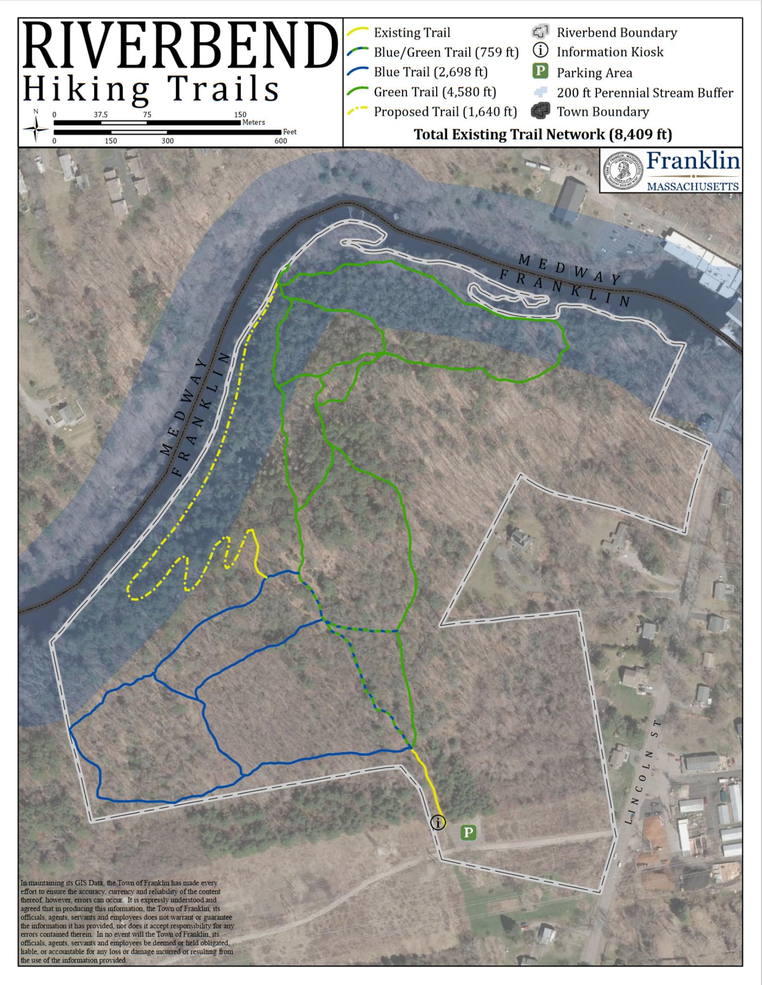
Riverbend Conservation Area covers 104 acres of land along the Charles River and features diverse habitats including wetlands, forests, meadows, and fields. Riverbend Conservation Area offers visitors a variety of recreational opportunities, including hiking, biking, fishing, canoeing, and kayaking. The area has a network of trails that connect to other nearby parks and conservation lands. Riverbend Conservation Area is open to the public from dawn to dusk and is managed by the Franklin Conservation Commission.
The Riverbend Hiking Trails run near and along the Franklin-Medway line. The access point is just off Lincoln Street, heading north towards Medway. There is parking and an information kiosk available.
Features
Restrooms on site
Wheelchair accessible trail
Entrance fee
Content from Official Website
Last updated February 10, 2024