Picacho Reservoir
Picacho Reservoir
Tips for Birding
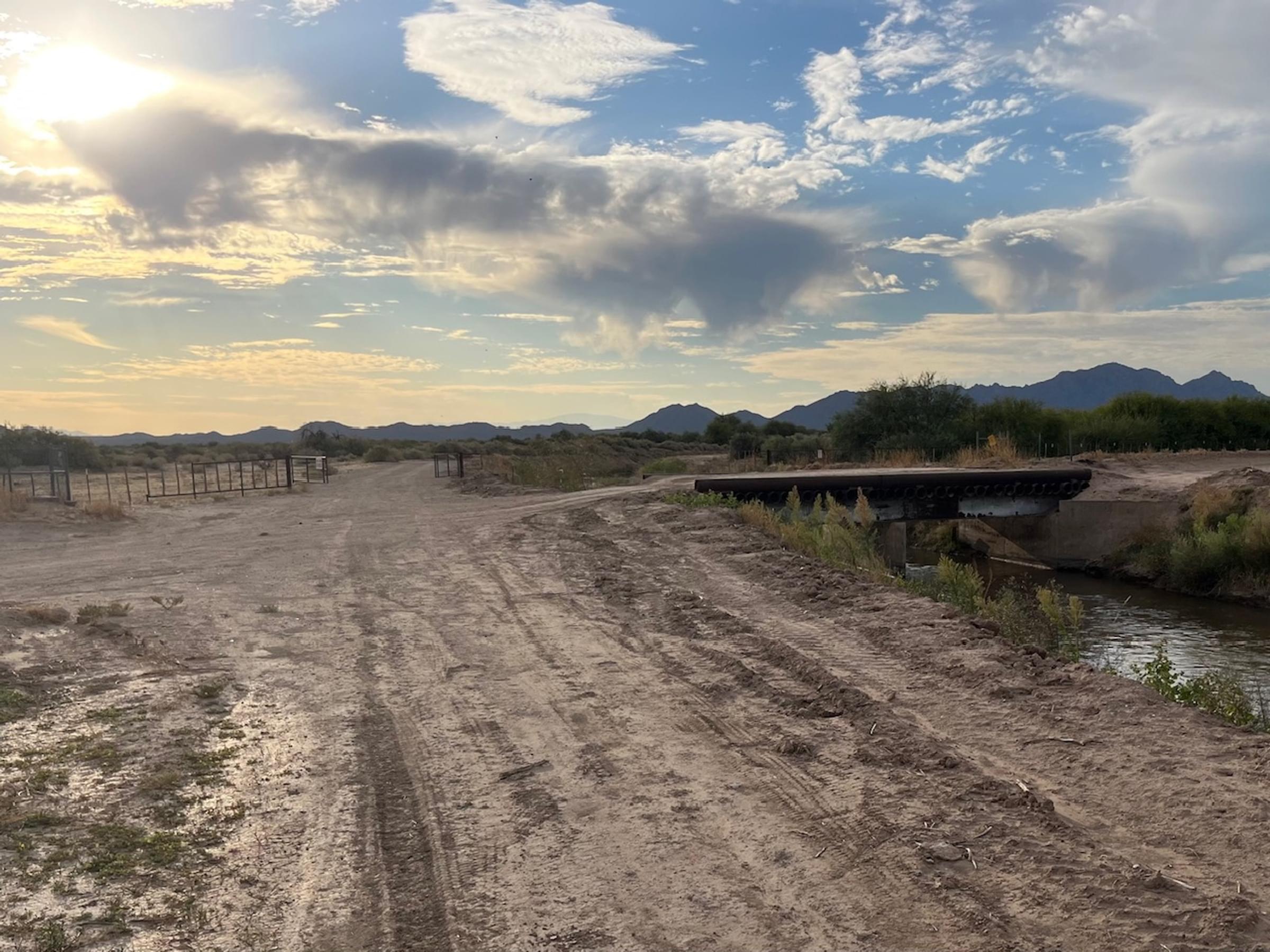
Maricopa Audubon has a guide to Birding Picacho Reservoir available on their website, but conditions have changed since it was written; notably, signage has since been posted that travel on the levee (southwest side of the reservoir) is prohibited. There is a north-south road below (directly west) of the levee, which is soft dirt and is likely to be impassable unless dry. Due to subsidence, extreme vigilance is advised while driving along the Florence-Casa Grande Canal maintenance road to the reservoir.
Birds of Interest
Gila Woodpecker, Verdin, and Curve-billed Thrasher appear on multiple lists. Phainopepla have been reported from February into May. Black Vulture are most commonly reported in May into July but have been listed earlier in the year. Black-tailed Gnatcatcher is more frequently reported than Blue-gray. Swallow species observed include Northern Rough-winged, Barn, and Cliff.
About this Location
The reservoir was built in the 1920s as part of the San Carlos Irrigation Project. The reservoir's original purpose was water storage and flow regulation for the Florence-Casa Grande and Casa Grande Canals. The lake's design capacity was 24,500 acre-feet of water, with a surface area of over 2 square miles.
Over the years, siltation and vegetation reduced reservoir capacity and surface area, such that by the late 1990s much of the area was a shallow marsh with extensive stands of cattails and rushes. Water level is highly variable, and the lake is completely dry in some years. Water is much more likely to be in the Florence-Casa Grande Canal than in the Casa Grande Canal or reservoir itself.
To reach the reservoir from NM-87, turn east onto the Selma Highway (which becomes a dirt road). Continue on the Selma Highway 1 mile east to a T intersection in front of some electrical equipment and an embankment. Turn right (south) onto Vail Road and go 0.3 miles to the maintenance road on the north side of the Florence-Casa Grande Canal. You can park here and walk, or turn left through the gate (be sure to secure it behind you) and follow the canal east about 0.6 miles. The southwest corner of the reservoir levee will then be in front of you; travel on the levee has been prohibited.
Features
Roadside viewing
Restrooms on site
Wheelchair accessible trail
Entrance fee
Content from Maricopa Audubon and John Montgomery
Last updated October 25, 2023