Parkers Mt. Trail 634 & Buffalo Arch Trail DBNF
Parkers Mt. Trail 634 & Buffalo Arch Trail DBNF
Mount Pisgah, Kentucky 42633
Official WebsiteBuffalo Arch Trail webpage
Birds of Interest
Breeding warblers, vireos and tanagers.
About this Location
Parker Mountain Trail #634 follows along the ridge for a mile before descending 600 feet to Rock Creek. Below the cliff you will encounter several coves, caves and small waterfalls. The trail ends on Forest Service Road 137. You can reach the Great Meadows Campground by following this road northeast for three miles. You can access the eastern trailhead by following the signs to Great Meadow campground. Continue 3 miles past the campground and the trailhead will be on your right.
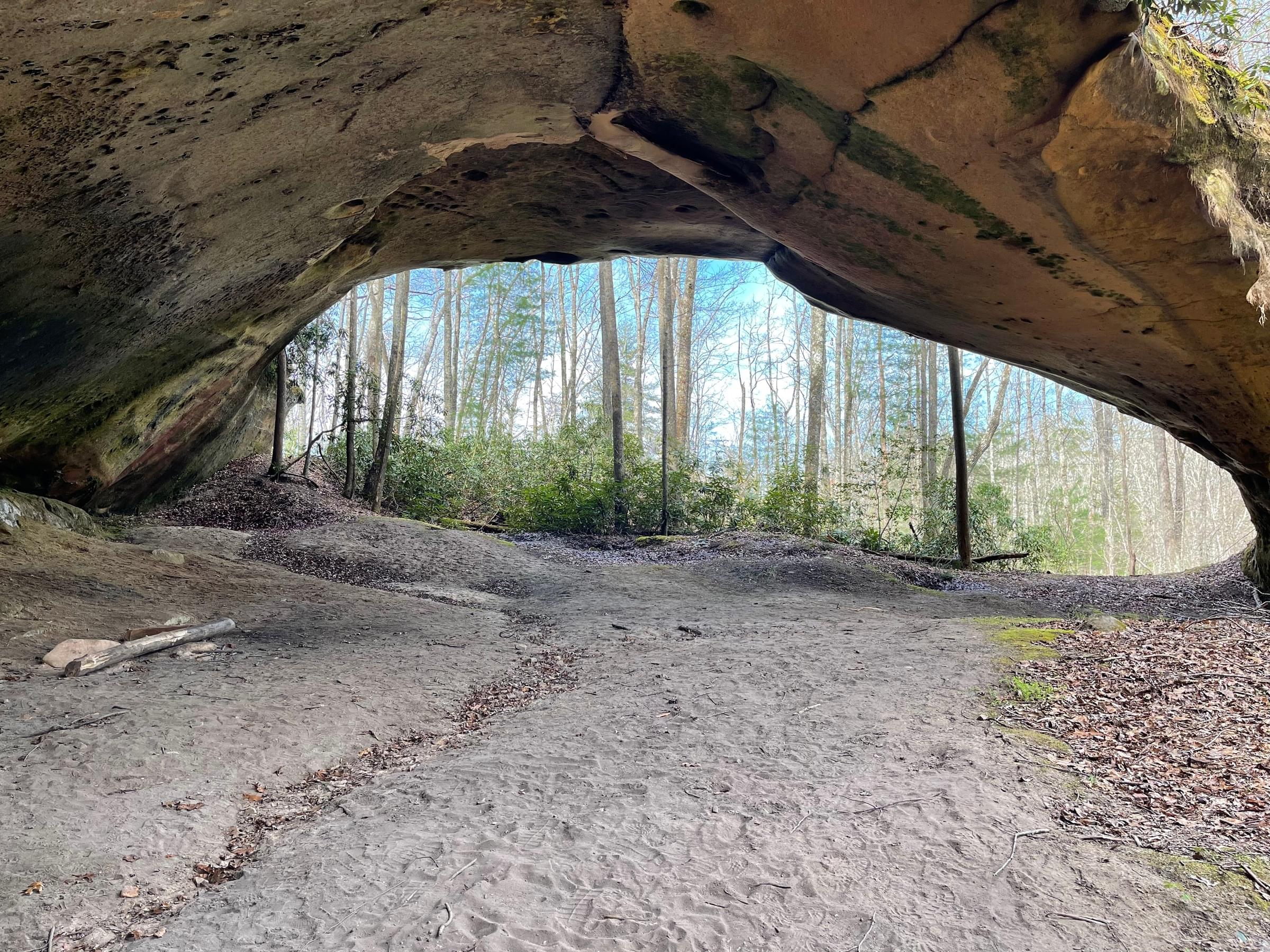
The Buffalo Arch Trail #634A is accessed from the Parker’s Mountain Trail. The trail follows a ridge for 1/4-mile before reaching the arch. Native Americans gave this arch its name because they used its height as an advantage when hunting buffalo. The arch is located at the end of a ridge, measuring 18 feet 6 inches high and 81 feet 8 inches wide. The ridgeline drops along the back of Buffalo Arch into a valley created by a nearby stream.
Features
Wheelchair accessible trail
Entrance fee
Roadside viewing
Content from Official Website and Buffalo Arch Trail webpage
Last updated February 7, 2023