Mount Nonotuck, Easthampton
Mount Nonotuck, Easthampton
Easthampton, Massachusetts 01027
Mount Tom State Reservation Official WebsiteMount Tom State Reservation map
About this Location
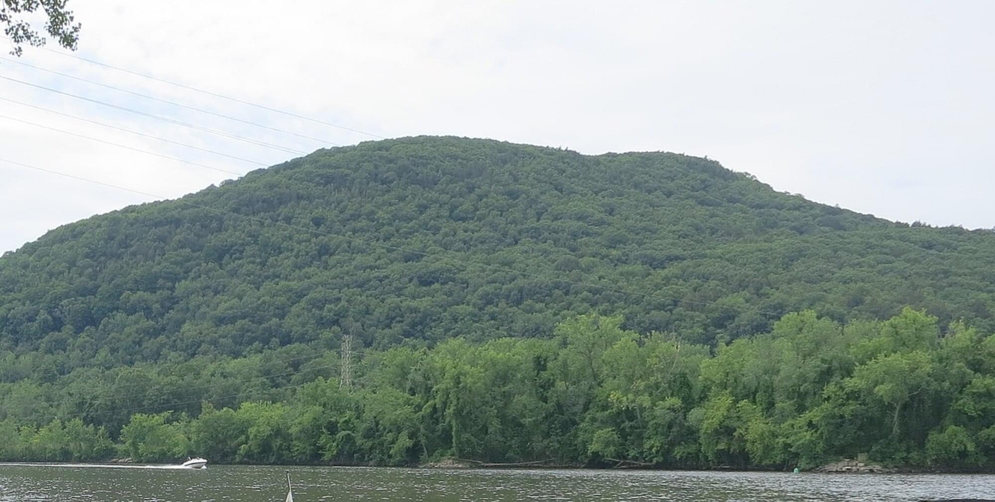
Mount Nonotuck, 827 feet, is the northernmost peak of the Mount Tom Range of traprock mountains located in the Connecticut River Valley of Massachusetts and part of the larger Metacomet Ridge which stretches from Long Island Sound to nearly the Vermont border. Rugged and considered scenic, the peak rises steeply from the river valley 700 feet below. It is located within the town of Holyoke.
The 110-mile Metacomet-Monadnock Trail, maintained by the Berkshire Chapter of the Appalachian Mountain Club, crosses Mount Nonotuck, and a seasonal auto road (closed to vehicles indefinitely due to deteriorating conditions, hikers still welcome) climbs to a small parking lot just beneath the summit. During the winter, the auto road is often used for cross-country skiing.
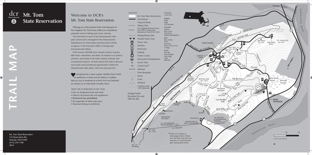
About Mount Tom State Reservation
See all hotspots at Mount Tom State Reservation
Mount Tom State Reservation covers more than 2,000 acres of land. The park is located in the Connecticut River Valley, just north of Springfield. The park offers 20 miles of hiking trails for all levels of experience, as well as fishing, canoeing, and cross-country skiing on Lake Bray. The park has views of the Pioneer Valley, the Berkshire Mountains, and the Pelham Hills.
The area is also a great place to bird watch, especially for hawks in the fall.
Notable Trails
The AllTrails website has a description and map of a hike at Mount Nonotuck.
Features
Restrooms on site
Wheelchair accessible trail
Entrance fee
Content from Mount Tom State Reservation Official Website and Wikipedia
Last updated January 6, 2024
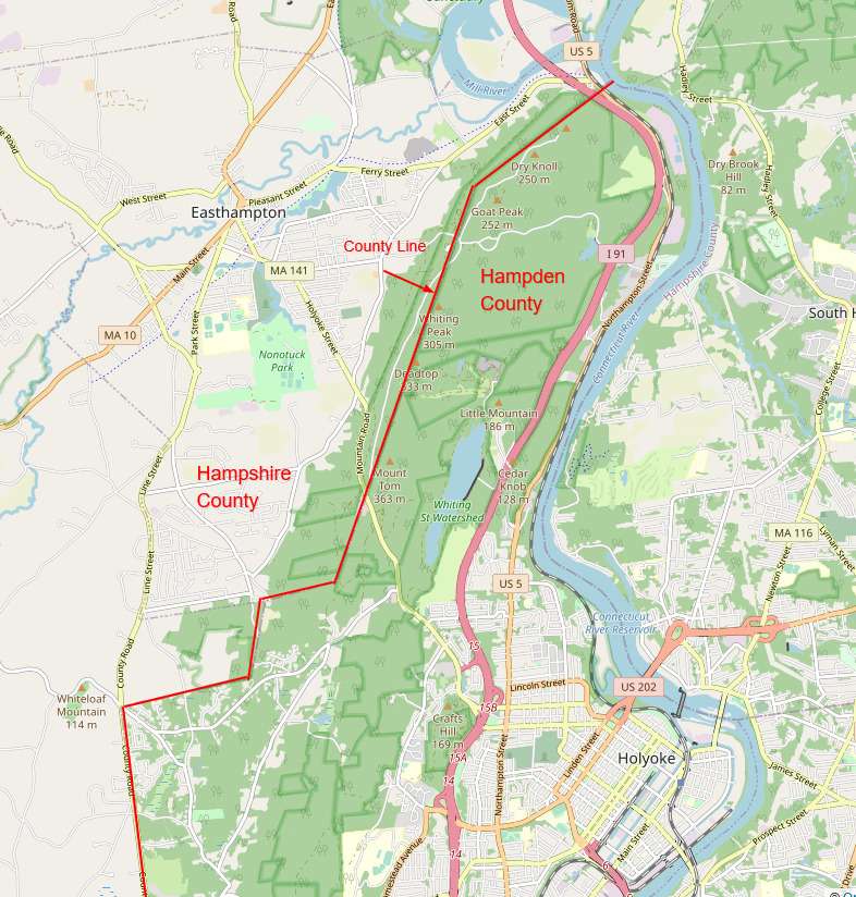 Map adapted from © OpenStreetMap contributors