Forest River Conservation Area, Salem
Forest River Conservation Area, Salem
McKinley Road Salem, Massachusetts 01970
Forest River Conservation Area Official WebsiteForest River Conservation Area map
About this Location
The west section of the Forest River Conservation Area is west of Loring Avenue (MA-1A).
About Forest River Conservation Area
See all hotspots at Forest River Conservation Area
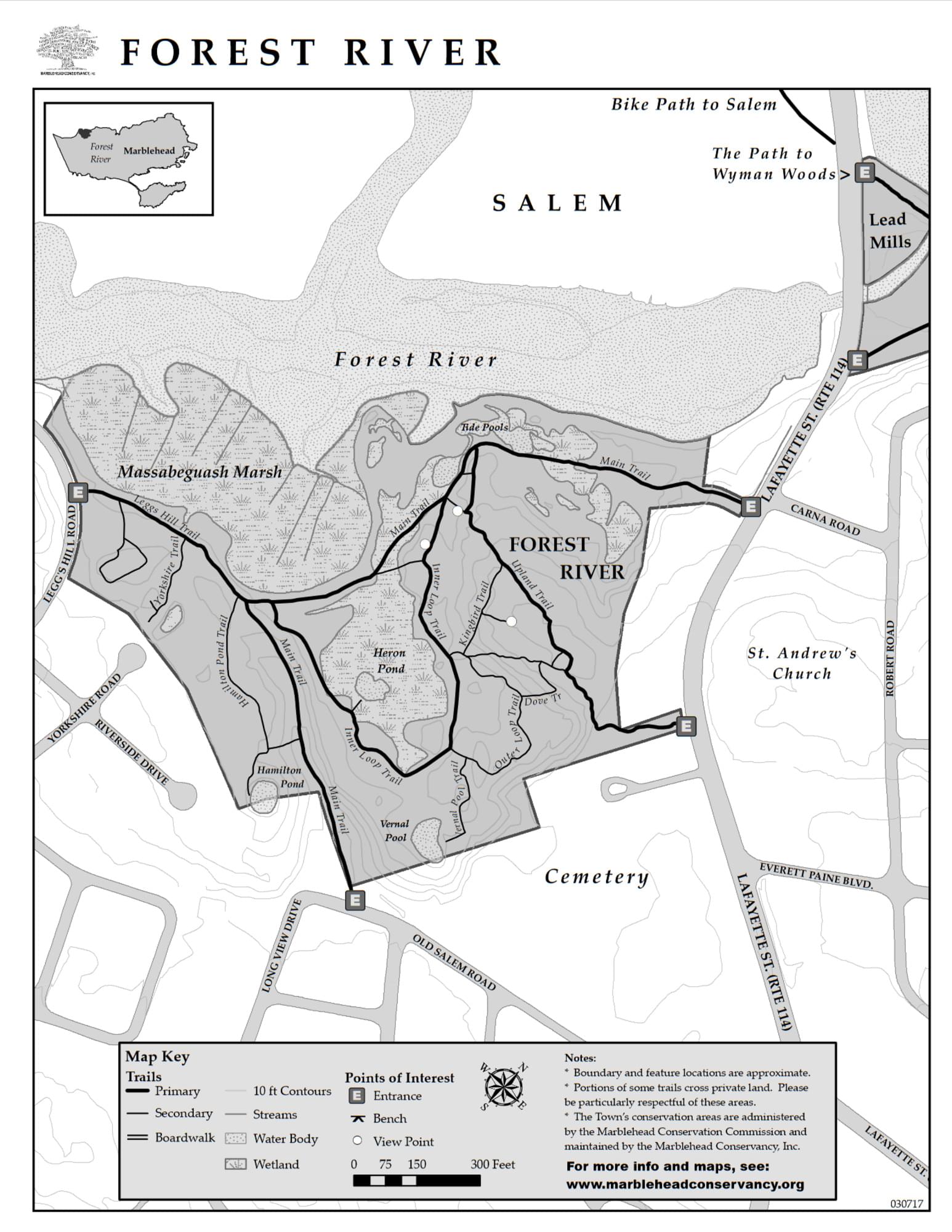
Enjoy an easy-moderate hike on the trails in Marblehead’s Forest River conservation area. This 26-acre property includes the salt Massabeguash Marsh, tidal ponds as well as upland fields and woods. Part of the area was once a gravel pit, with the gravel reportedly used in the building of Logan Airport.
At just over 1.5 miles of trails covering the entire area, a hiker enjoys waterside, woodlands, and high ground. Some of the areas near the river flood at high tide, making it a good idea to check local tide tables to be sure you are properly shod for your walk.
Features
Restrooms on site
Wheelchair accessible trail
Entrance fee
Content from Forest River Conservation Area webpage
Last updated January 18, 2024