
Yosemite National Park (Mariposa County)
Birds of Interest
Sooty Grouse, Flammulated Owl, Great Gray Owl, Calliope Hummingbird, American Dipper, Black Swift, Northern Goshawk, Williamson’s Sapsucker, Black-backed Woodpecker, Gray-crowned Rosy-Finch, and Pine Grosbeak are among the interesting bird species found in Yosemite National Park and the surrounding Sierra Nevada that are coveted by birders.
About this Location
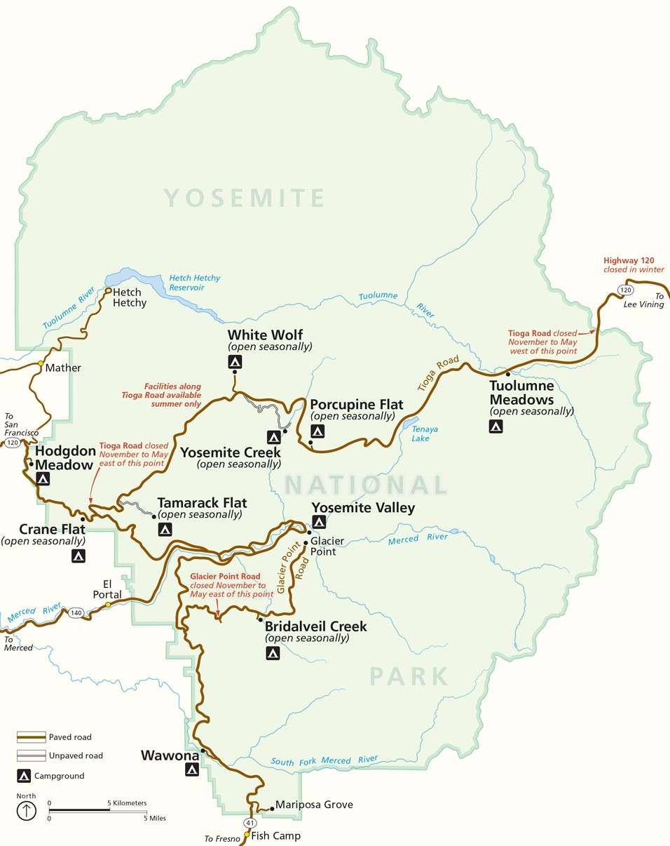
Yosemite National Park is located in the central Sierra Nevada and covers 759,620 acres (1,187 sq mi) in four counties – centered in Tuolumne and Mariposa, extending north and east to Mono and south to Madera. Three wilderness areas are adjacent to Yosemite: the Ansel Adams Wilderness to the southeast, the Hoover Wilderness to the northeast, and the Emigrant Wilderness to the north. The park contains thousands of lakes and ponds, 1,600 miles of streams, 800 miles of hiking trails, and 350 miles of roads. Two federally designated Wild and Scenic Rivers, the Merced and the Tuolumne, begin within Yosemite's borders and flow westward through the Sierra foothills into the Central Valley of California.
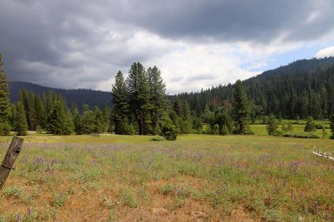
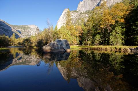
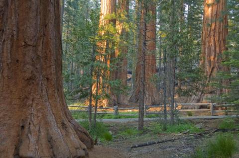
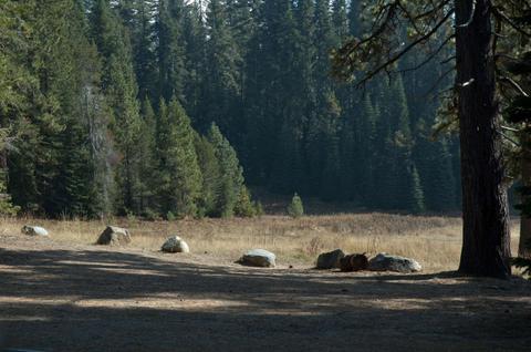
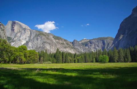
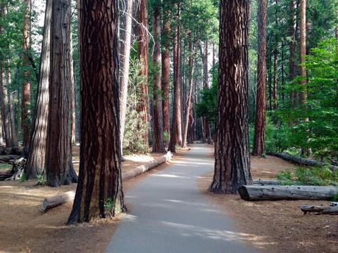
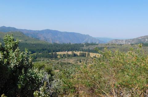
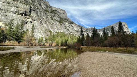
Yosemite contains five major vegetation zones: chaparral and oak woodland, lower montane forest, upper montane forest, subalpine zone, and alpine. Habitats within Yosemite include chaparral, stately groves of pine, fir, and sequoia, and expanses of alpine woodlands and meadows. Granite walls with numerous sheer drops, glacial steps and hanging valleys in the park feature spectacular cascades, especially during April, May, and June during snow melt. Yosemite National Park is best known for its waterfalls, but within its nearly 1,200 square miles, you can find deep valleys, grand meadows, three ancient giant sequoia groves, and a vast wilderness area. The high country of Yosemite has other accessible attractions for birders such as Tenaya Lake, Tuolumne Meadows, and the Tioga Pass. The Sierra crest and the Pacific Crest Trail run through Yosemite.
Yosemite National Park is open year-round, though certain roads close during snowy months, usually from November through May or June. Tioga Road and Glacier Point Road are closed in winter. Yosemite Valley represents only one percent of the park area, but it receives the highest volume of visitors to the park. Between four and five million visitors are expected each year to Yosemite. There is a circular one-way road system in Yosemite Valley that will take you past all the valley’s major landmarks. Traffic congestion in the valley is heavy during peak summer season (June to August) and a free shuttle bus system operates in the valley. Parking in the valley during the summer is often full. Yosemite has 13 official campgrounds. A reservation is required to drive into or through Yosemite on some dates and times. It is strongly recommended that you make reservations for lodging, camping, and backpacking.
Visitor Centers:
- Yosemite Valley Exploration Center (year-round): Offers natural history displays, audiovisual programs and is staffed with individuals who are happy to answer all your questions. Books and maps are also sold here.
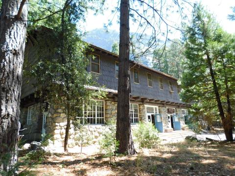
- Wawona (May to October): Located at Hill's Studio near the Wawona Hotel and the Pioneer Yosemite History Center in Wawona. The station provides information on interpretive programs and park activities. Books, maps, and wilderness permits are also available.
- Big Oak Flat (May–October): Knowledgeable National Park Service Rangers and Yosemite Association staff on hand to answer any questions you may have. Books, maps, and wilderness permits are also available.
- Tuolumne Meadows (June or July–late September): This Visitor Center has exhibits that feature information on area geology, wildflowers, ecology, bears and other wildlife, the human history of the area, and wilderness etiquette.
There is a daily entrance fee per vehicle to enter the park. Annual passes are available. Check the National Park Service website for details on current conditions and for planning your visit. Dress appropriately for the season. Nighttime temperatures can be cold even during the summer months.
Yosemite can be divided into the following regions with bird species generally considered unique to these regions, although there is much overlap. El Portal (1200’ - 3000’), Yosemite Valley (3,800’ - 5000’), Ackerson Meadow (4,600’), Crane Flat (6,200’ - 6,600’), Tuolumne Meadows (8,600’ - 9,400’), Tioga Pass (10,000’ - 13, 100’), Lee Vining Canyon (7,200’ - 9,000’), Mono Lake (6,400’ – 6,500’). There are many eBird Hotspots available within these regions.
Notable Trails
Bridal Veil Falls, Mirror Lake Trail, Wawona Meadow Loop, Taft Point, Vernal Falls (Mist Trail), Mariposa Grove Trail, Clouds Rest, Half Dome, Cathedral Lakes, Lower Yosemite Falls
Features
Restrooms on site
Content from Official Website and Jamie Chavez
Last updated March 16, 2024
 Yosemite National Park
 Yosemite Valley Map
 Yosemite National Park (Main Areas)
 Yosemite National Park (South Entrance)