Summit Bike and Hike Trail

Summit Bike and Hike Trail
OH-82 lots: 685 & 686 Aurora Road Brandywine Falls: 8176 Brandywine Road Sagamore Hills, Ohio 44067
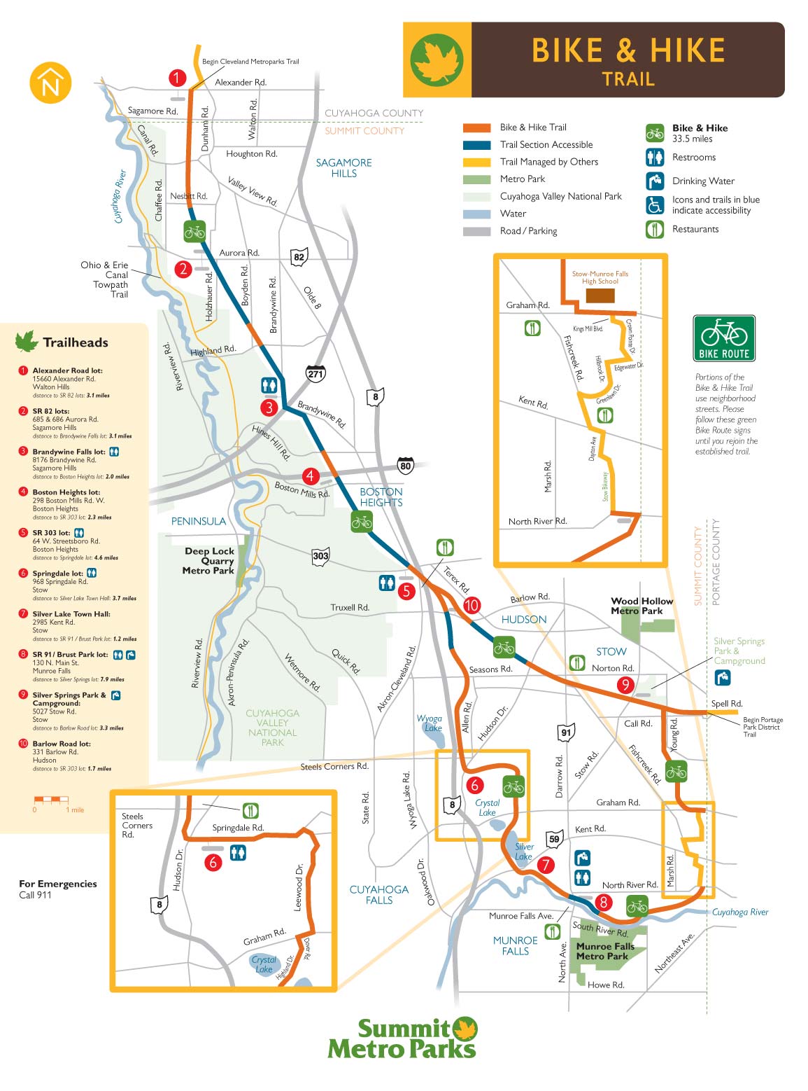
Official WebsiteSummit MetroParks Bike and Hike Trail map
About this Location
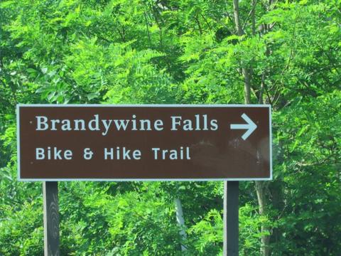
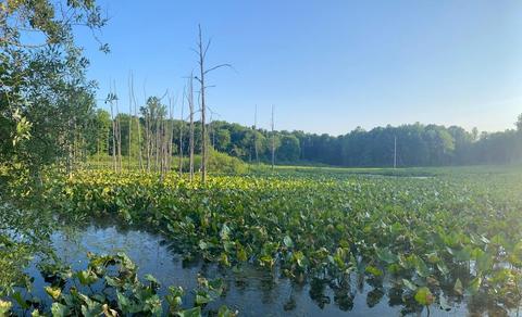
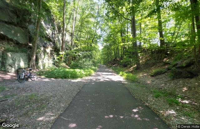
Today, east of OH-91 in Munroe Falls, the Bike & Hike Trail parallels a scenic section of the Cuyahoga River where great blue herons, Canada geese, and a variety of ducks can be seen. A small pond along the north side of the trail annually hosts a chorus of spring peepers. South of Boston Mills Road in Boston Heights, the Sharon Conglomerate rock walls of the Boston Ledges rise along the trail. Farther north, the trail travels along Brandywine Road. A parking area adjacent to the bridge over I-271 offers rest and a view of Brandywine Falls which, at 75 feet, is one of the highest waterfalls in Ohio.
Notable Trails
Summit Bike and Hike Trail
The 33.5-mile Bike & Hike Trail was one of the first “rails to trails” conversions in the country. It follows the course of the old Akron, Bedford & Cleveland (ABC) Railroad, which was the longest electric railroad of its kind when it was built in 1895. Until service was discontinued in 1932, riders could travel for 50 cents from Akron to Cleveland’s Public Square in about 2.5 hours.
Content from Official Website